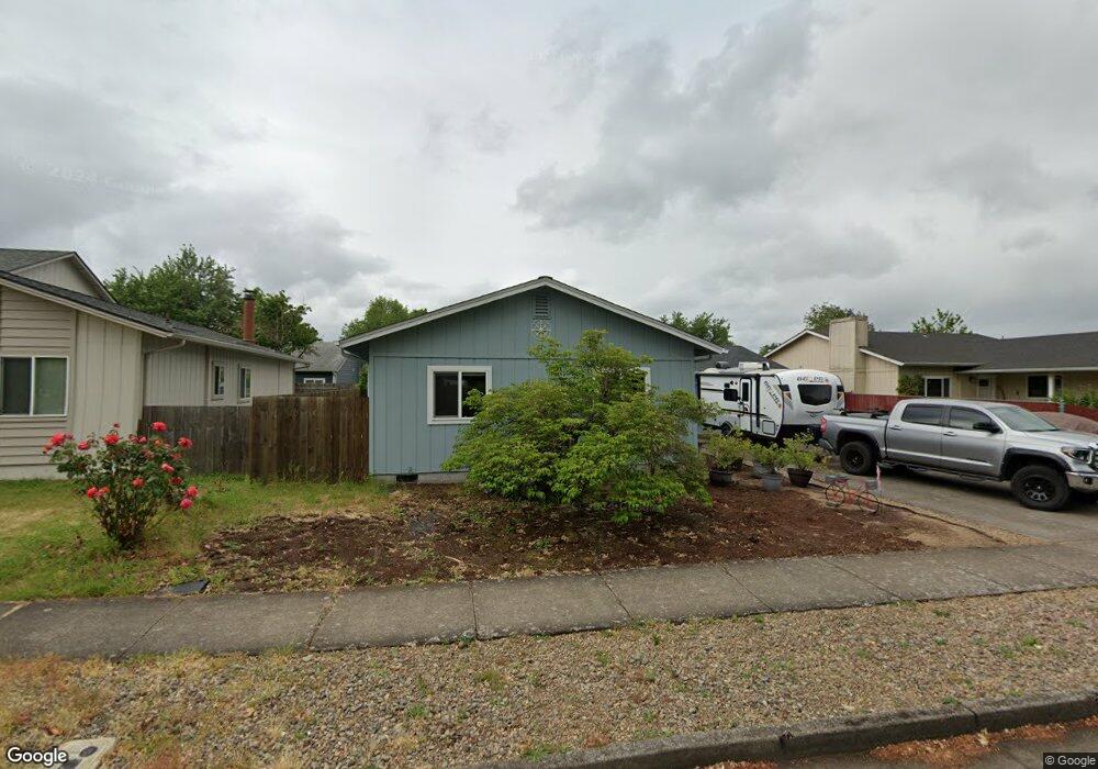
4584 Avalon St Eugene, OR 97402
Bethel NeighborhoodEstimated Value: $393,000 - $407,000
3
Beds
2
Baths
1,488
Sq Ft
$269/Sq Ft
Est. Value
About This Home
This home is located at 4584 Avalon St, Eugene, OR 97402 and is currently estimated at $400,806, approximately $269 per square foot. 4584 Avalon St is a home located in Lane County with nearby schools including Danebo Elementary School, Shasta Middle School, and Willamette High School.
Ownership History
Date
Name
Owned For
Owner Type
Purchase Details
Closed on
Nov 4, 2011
Sold by
Gill Josanne
Bought by
Gregory Dennis R and Gregory Kimberly J
Current Estimated Value
Home Financials for this Owner
Home Financials are based on the most recent Mortgage that was taken out on this home.
Original Mortgage
$129,078
Outstanding Balance
$86,728
Interest Rate
3.87%
Mortgage Type
FHA
Estimated Equity
$314,078
Purchase Details
Closed on
Apr 13, 2006
Sold by
Smith Josephine M
Bought by
Smith Josephine M and Josephine M Smith Trust
Purchase Details
Closed on
Dec 4, 1997
Sold by
Smith David Allen and Smith Josephine M
Bought by
Smith David A and Smith Josephine M
Create a Home Valuation Report for This Property
The Home Valuation Report is an in-depth analysis detailing your home's value as well as a comparison with similar homes in the area
Home Values in the Area
Average Home Value in this Area
Purchase History
| Date | Buyer | Sale Price | Title Company |
|---|---|---|---|
| Gregory Dennis R | $142,000 | Western Title & Escrow | |
| Smith Josephine M | -- | None Available | |
| Smith David A | -- | -- |
Source: Public Records
Mortgage History
| Date | Status | Borrower | Loan Amount |
|---|---|---|---|
| Open | Gregory Dennis R | $129,078 |
Source: Public Records
Tax History
| Year | Tax Paid | Tax Assessment Tax Assessment Total Assessment is a certain percentage of the fair market value that is determined by local assessors to be the total taxable value of land and additions on the property. | Land | Improvement |
|---|---|---|---|---|
| 2025 | $3,442 | $197,878 | -- | -- |
| 2024 | $3,355 | $192,115 | -- | -- |
| 2023 | $3,355 | $186,520 | $0 | $0 |
| 2022 | $3,123 | $181,088 | $0 | $0 |
| 2021 | $3,057 | $175,814 | $0 | $0 |
| 2020 | $2,968 | $170,694 | $0 | $0 |
| 2019 | $2,822 | $165,723 | $0 | $0 |
| 2018 | $2,743 | $156,211 | $0 | $0 |
| 2017 | $2,622 | $156,211 | $0 | $0 |
| 2016 | $2,555 | $151,661 | $0 | $0 |
| 2015 | $2,505 | $147,244 | $0 | $0 |
| 2014 | $2,467 | $142,955 | $0 | $0 |
Source: Public Records
Map
Nearby Homes
- 4548 Cambon St
- 4554 Woodsboro St
- 1562 Philip St
- 1145 Ludgate Dr
- 1159 Throne Dr
- 4800 Barger Dr Unit 60
- 1153 Elizabeth St
- 1400 Candlelight Dr Unit 162
- 1400 Candlelight Dr Unit 208
- 1400 Candlelight Dr
- 1400 Candlelight Dr Unit 226
- 4280 Avalon St
- 4941 Stagecoach Rd
- 870 Laurelhurst Dr
- 4749 Royal Ave
- 1699 N Terry St Unit 89
- 1699 N Terry St Unit 272
- 1199 N Terry St
- 1199 N Terry St Unit 248
- 1199 N Terry St Unit 259
Your Personal Tour Guide
Ask me questions while you tour the home.