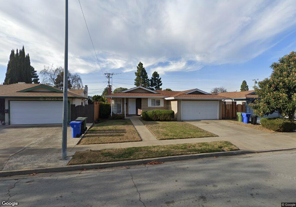
4585 Sloat Rd Fremont, CA 94538
Sundale NeighborhoodEstimated Value: $1,193,544 - $1,341,000
3
Beds
2
Baths
1,056
Sq Ft
$1,224/Sq Ft
Est. Value
About This Home
This home is located at 4585 Sloat Rd, Fremont, CA 94538 and is currently estimated at $1,292,386, approximately $1,223 per square foot. 4585 Sloat Rd is a home located in Alameda County with nearby schools including Brier Elementary School, G.M. Walters Middle School, and John F. Kennedy High School.
Ownership History
Date
Name
Owned For
Owner Type
Purchase Details
Closed on
Jun 14, 2013
Sold by
Lysett Gail Rae and Babuin Family Trust
Bought by
Lysett Gail Rae and Gst Exempt Trust For Gail Rae
Current Estimated Value
Purchase Details
Closed on
Sep 6, 2007
Sold by
Babuin Gloria M and Babuin Family Trust
Bought by
Babuin Gloria M and Babuin Family Trust
Purchase Details
Closed on
Sep 6, 2000
Sold by
Babuin John L and Babuin Gloria M
Bought by
Babuin John L and Babuin Gloria M
Create a Home Valuation Report for This Property
The Home Valuation Report is an in-depth analysis detailing your home's value as well as a comparison with similar homes in the area
Home Values in the Area
Average Home Value in this Area
Purchase History
| Date | Buyer | Sale Price | Title Company |
|---|---|---|---|
| Lysett Gail Rae | -- | None Available | |
| Babuin Gloria M | -- | None Available | |
| Babuin John L | -- | -- |
Source: Public Records
Tax History Compared to Growth
Tax History
| Year | Tax Paid | Tax Assessment Tax Assessment Total Assessment is a certain percentage of the fair market value that is determined by local assessors to be the total taxable value of land and additions on the property. | Land | Improvement |
|---|---|---|---|---|
| 2025 | $2,745 | $173,209 | $101,705 | $71,504 |
| 2024 | $2,745 | $169,813 | $99,711 | $70,102 |
| 2023 | $2,654 | $166,484 | $97,756 | $68,728 |
| 2022 | $2,595 | $163,219 | $95,839 | $67,380 |
| 2021 | $2,539 | $160,019 | $93,960 | $66,059 |
| 2020 | $2,462 | $158,379 | $92,997 | $65,382 |
| 2019 | $2,439 | $155,274 | $91,174 | $64,100 |
| 2018 | $2,389 | $152,229 | $89,386 | $62,843 |
| 2017 | $2,331 | $149,245 | $87,634 | $61,611 |
| 2016 | $2,278 | $146,319 | $85,916 | $60,403 |
| 2015 | $2,236 | $144,122 | $84,626 | $59,496 |
| 2014 | $2,189 | $141,299 | $82,968 | $58,331 |
Source: Public Records
Map
Nearby Homes
- 4714 Serra Ave
- 39090 Presidio Way Unit 237
- 39530 Dorrington Ct
- 4754 Northdale Dr
- 4237 Garland Dr
- 4328 Cognina Ct
- 4715 Eggers Dr
- 38837 Fremont Blvd
- 5033 Blacksand Rd
- 4600 Nelson St
- 39134 Memorial St
- 38265 Corrigan Ct
- 38324 Blacow Rd
- 39193 State St
- 4737 Boone Dr
- 4586 Norris Rd
- 39751 Bissy Common
- 5330 Coco Palm Dr
- 39850 Sundale Dr
- 38611 Country Common