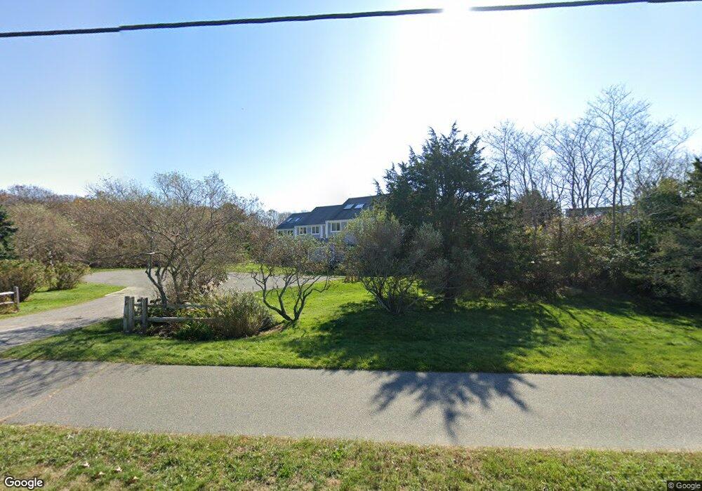
459 Katama Rd Unit A Edgartown, MA 02539
Edgartown NeighborhoodEstimated Value: $1,529,000 - $1,887,000
3
Beds
3
Baths
1,241
Sq Ft
$1,397/Sq Ft
Est. Value
About This Home
This home is located at 459 Katama Rd Unit A, Edgartown, MA 02539 and is currently estimated at $1,734,008, approximately $1,397 per square foot. 459 Katama Rd Unit A is a home located in Dukes County with nearby schools including Edgartown Elementary School and Martha's Vineyard Regional High School.
Ownership History
Date
Name
Owned For
Owner Type
Purchase Details
Closed on
Jan 7, 2013
Sold by
Bradbury Jane L
Bought by
Marlborough 2 Nt and Shapiro
Current Estimated Value
Purchase Details
Closed on
Jan 2, 2007
Sold by
Windsor Dr Holdings Ll
Bought by
Sullivan Caralyn M and Sullivan David M
Purchase Details
Closed on
Aug 15, 2005
Sold by
Windsor Dr Hldgs Llc
Bought by
Sullivan Caralyn M and Sullivan David M
Home Financials for this Owner
Home Financials are based on the most recent Mortgage that was taken out on this home.
Original Mortgage
$479,200
Interest Rate
5.54%
Mortgage Type
Purchase Money Mortgage
Purchase Details
Closed on
May 6, 1986
Bought by
Shapiro Robert N
Create a Home Valuation Report for This Property
The Home Valuation Report is an in-depth analysis detailing your home's value as well as a comparison with similar homes in the area
Home Values in the Area
Average Home Value in this Area
Purchase History
| Date | Buyer | Sale Price | Title Company |
|---|---|---|---|
| Marlborough 2 Nt | -- | -- | |
| Sullivan Caralyn M | -- | -- | |
| Sullivan Caralyn M | $599,000 | -- | |
| Shapiro Robert N | $144,000 | -- |
Source: Public Records
Mortgage History
| Date | Status | Borrower | Loan Amount |
|---|---|---|---|
| Previous Owner | Sullivan Caralyn M | $479,200 |
Source: Public Records
Tax History
| Year | Tax Paid | Tax Assessment Tax Assessment Total Assessment is a certain percentage of the fair market value that is determined by local assessors to be the total taxable value of land and additions on the property. | Land | Improvement |
|---|---|---|---|---|
| 2025 | $4,123 | $1,555,700 | $0 | $1,555,700 |
| 2024 | $3,967 | $1,555,700 | $0 | $1,555,700 |
| 2023 | $2,541 | $1,008,300 | $0 | $1,008,300 |
| 2022 | $2,028 | $669,400 | $0 | $669,400 |
| 2021 | $2,196 | $669,400 | $0 | $669,400 |
| 2020 | $1,590 | $474,500 | $0 | $474,500 |
| 2019 | $1,836 | $474,500 | $0 | $474,500 |
| 2018 | $1,763 | $467,400 | $0 | $467,400 |
| 2017 | $1,696 | $477,700 | $0 | $477,700 |
| 2016 | $1,591 | $439,500 | $0 | $439,500 |
| 2015 | $1,525 | $439,500 | $0 | $439,500 |
Source: Public Records
Map
Nearby Homes
- 24 Katama Bay View Rd
- 5 Atlantic Dr Unit 5.2
- 1 Field Club Dr
- 23 Thaxter Ln
- 7 Martha's Way
- 39 Slough Cove Rd Unit 12.2 (part of)
- 39 Slough Cove Rd
- 31 Butlers Cove Rd
- 11A Duarte Cir
- 42 Road To the Plains
- 58 Road To the Plains
- 19 Kitts Field Cir
- 72 Chappaquiddick Ave
- 48 Turkeyland Cove Rd
- 9 Maqua Way
- 9 Maqua Way Unit 107.13
- 0 Pocha Rd
- 76 Washque Ave
- 114 Meeting House Way
- 114 Meeting House Way
- 459 Katama Rd Unit C
- 459 Katama Rd Unit B
- 459 Katama Rd Unit F
- 459 Katama Rd Unit E
- 459 Katama Rd Unit D
- 459 Katama Rd
- 459 Katama Rd Unit A2
- 459 Katama Rd Unit A5
- 459 Katama Rd Unit A6
- 459 Katama Rd Unit A3
- 459 Katama Rd Unit A4
- 475 Katama Rd Unit C
- 475 Katama Rd Unit A
- 475 Katama Rd Unit B
- 475 Katama Rd Unit F
- 475 Katama Rd Unit E
- 475 Katama Rd Unit D
- 475 Katama Rd Unit C3
- 475 Katama Rd Unit C5
- 475 Katama Rd Unit C2
Your Personal Tour Guide
Ask me questions while you tour the home.