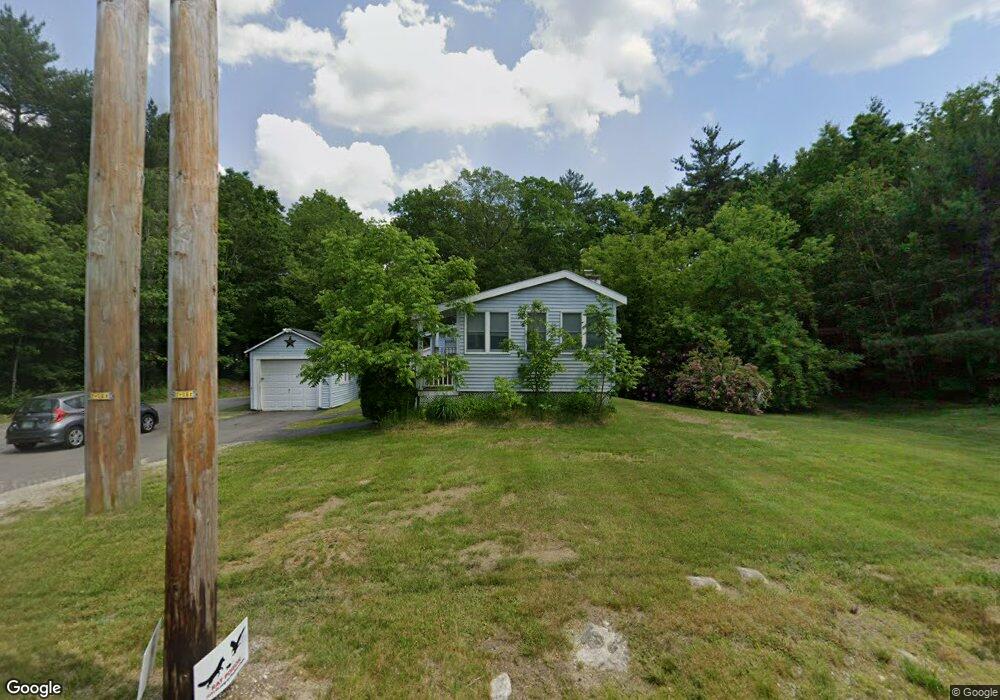
46 Auburn Rd Londonderry, NH 03053
Estimated Value: $323,000 - $457,000
1
Bed
1
Bath
948
Sq Ft
$436/Sq Ft
Est. Value
About This Home
This home is located at 46 Auburn Rd, Londonderry, NH 03053 and is currently estimated at $413,253, approximately $435 per square foot. 46 Auburn Rd is a home located in Rockingham County with nearby schools including North Londonderry Elementary School, Londonderry Middle School, and Londonderry Senior High School.
Ownership History
Date
Name
Owned For
Owner Type
Purchase Details
Closed on
Mar 21, 2022
Sold by
Reid Jason D
Bought by
Reid Ft and Reid
Current Estimated Value
Purchase Details
Closed on
Mar 18, 2016
Sold by
T & T Investments Llc
Bought by
Reid Jason D
Purchase Details
Closed on
Feb 16, 2016
Sold by
Paris Leo H
Bought by
T & T Investments Llc
Purchase Details
Closed on
Oct 11, 2001
Sold by
Cain Esther R
Bought by
Paris Leo H and Paris Barbara E
Home Financials for this Owner
Home Financials are based on the most recent Mortgage that was taken out on this home.
Original Mortgage
$55,413
Interest Rate
6.93%
Mortgage Type
Purchase Money Mortgage
Create a Home Valuation Report for This Property
The Home Valuation Report is an in-depth analysis detailing your home's value as well as a comparison with similar homes in the area
Home Values in the Area
Average Home Value in this Area
Purchase History
| Date | Buyer | Sale Price | Title Company |
|---|---|---|---|
| Reid Ft | -- | None Available | |
| Reid Ft | -- | None Available | |
| Reid Jason D | $105,000 | -- | |
| Reid Jason D | $105,000 | -- | |
| T & T Investments Llc | $72,000 | -- | |
| T & T Investments Llc | $72,000 | -- | |
| Paris Leo H | $140,000 | -- | |
| Paris Leo H | $140,000 | -- |
Source: Public Records
Mortgage History
| Date | Status | Borrower | Loan Amount |
|---|---|---|---|
| Previous Owner | Paris Leo H | $56,160 | |
| Previous Owner | Paris Leo H | $55,413 |
Source: Public Records
Tax History Compared to Growth
Tax History
| Year | Tax Paid | Tax Assessment Tax Assessment Total Assessment is a certain percentage of the fair market value that is determined by local assessors to be the total taxable value of land and additions on the property. | Land | Improvement |
|---|---|---|---|---|
| 2024 | $5,150 | $319,100 | $189,400 | $129,700 |
| 2023 | $4,994 | $319,100 | $189,400 | $129,700 |
| 2022 | $4,858 | $262,900 | $142,500 | $120,400 |
| 2021 | $4,792 | $260,700 | $142,500 | $118,200 |
| 2020 | $2,878 | $143,100 | $117,700 | $25,400 |
| 2019 | $2,775 | $143,100 | $117,700 | $25,400 |
| 2018 | $2,664 | $122,200 | $99,000 | $23,200 |
| 2017 | $2,641 | $122,200 | $99,000 | $23,200 |
| 2016 | $2,627 | $122,200 | $99,000 | $23,200 |
| 2015 | $2,569 | $122,200 | $99,000 | $23,200 |
| 2014 | $2,577 | $122,200 | $99,000 | $23,200 |
| 2011 | -- | $133,200 | $99,000 | $34,200 |
Source: Public Records
Map
Nearby Homes
- 19 Auburn Rd
- 10 Auburn Rd
- 6a Walton Cir
- 103 Rockingham Rd Unit 1
- 103 Rockingham Rd Unit 2
- 55 Norwich Place
- 4 Crestview Cir Unit 119
- 34 Conifer Place
- 40 Pinyon Place
- 36 Perkins Rd
- 32 Noyes Rd
- 1991 Bodwell Rd Unit 30
- 52 Daniel Rd
- 50 Daniel Rd
- 54 Daniel Rd
- 50 Bartley Hill Rd
- 9 Dattillo Rd
- 1901 Bodwell Rd Unit 28
- 48 Daniel Rd
- 75 Rockingham Rd