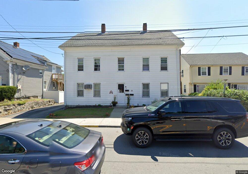
46 Depot St Milford, MA 01757
Estimated Value: $474,851 - $694,000
7
Beds
3
Baths
2,601
Sq Ft
$218/Sq Ft
Est. Value
About This Home
This home is located at 46 Depot St, Milford, MA 01757 and is currently estimated at $566,963, approximately $217 per square foot. 46 Depot St is a home located in Worcester County with nearby schools including Milford High School and Bethany Christian Academy.
Ownership History
Date
Name
Owned For
Owner Type
Purchase Details
Closed on
Jul 2, 2019
Sold by
46 Depot Street Rt
Bought by
Beech Depot Llc
Current Estimated Value
Purchase Details
Closed on
Aug 22, 1996
Sold by
Home Gas Corp Mass
Bought by
National Propane Lp
Purchase Details
Closed on
Oct 14, 1994
Sold by
Chaplin Pauline
Bought by
Georgacopoulous George and Georgacopoulous Eleni
Create a Home Valuation Report for This Property
The Home Valuation Report is an in-depth analysis detailing your home's value as well as a comparison with similar homes in the area
Home Values in the Area
Average Home Value in this Area
Purchase History
| Date | Buyer | Sale Price | Title Company |
|---|---|---|---|
| Beech Depot Llc | -- | -- | |
| National Propane Lp | $82,198 | -- | |
| Georgacopoulous George | $117,250 | -- |
Source: Public Records
Mortgage History
| Date | Status | Borrower | Loan Amount |
|---|---|---|---|
| Previous Owner | Georgacopoulous George | $107,000 | |
| Previous Owner | Georgacopoulous George | $113,150 |
Source: Public Records
Tax History Compared to Growth
Tax History
| Year | Tax Paid | Tax Assessment Tax Assessment Total Assessment is a certain percentage of the fair market value that is determined by local assessors to be the total taxable value of land and additions on the property. | Land | Improvement |
|---|---|---|---|---|
| 2025 | $6,676 | $521,600 | $149,800 | $371,800 |
| 2024 | $6,504 | $489,400 | $142,800 | $346,600 |
| 2023 | $6,211 | $429,800 | $120,200 | $309,600 |
| 2022 | $5,897 | $383,200 | $109,700 | $273,500 |
| 2021 | $5,425 | $339,500 | $109,700 | $229,800 |
| 2020 | $5,302 | $332,200 | $109,700 | $222,500 |
| 2019 | $5,036 | $304,500 | $109,700 | $194,800 |
| 2018 | $4,402 | $265,800 | $104,500 | $161,300 |
| 2017 | $4,221 | $251,400 | $104,500 | $146,900 |
| 2016 | $4,044 | $235,400 | $94,000 | $141,400 |
| 2015 | $4,072 | $232,000 | $90,600 | $141,400 |
Source: Public Records
Map
Nearby Homes
- 57 Beach St
- 48 Claflin St
- 56 S Bow St
- 55 Jefferson St
- 102-104 Central St
- 29 Forest St
- 30 Whitney St
- 3 S Central St
- 10-12 Orchard St
- 33 Chestnut St
- 97 E Street Extension
- 20-22 Chapin St
- 9 Hillside Ave
- 3 Pouliot St Unit 3
- 6 1/2 Leonard St
- 318 Main St
- 23 Christina Rd
- 9 Ariana Cir Unit 9
- 7 Ariana Cir Unit 7
- 19 Oliver St
- 44 Depot St
- 52 Depot St
- 10 Charles St
- 40 Depot St
- 43 Depot St Unit 45
- 10 Charles River Rd
- 12 Charles River Rd
- 8 Charles St
- 38 Depot St
- 38 Depot St Unit 3
- 38 Depot St Unit 2
- 38 Depot St Unit 1
- 41 Depot St
- 36 Depot St
- 37 Depot St
- 24 River St
- 8 Cemetary St
- 32 Depot St
- 4 River St Unit .
- 4 River St Unit 4