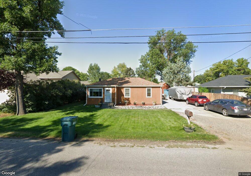
46 Foster Ln Billings, MT 59101
East Central Billings NeighborhoodEstimated Value: $233,000 - $268,714
3
Beds
1
Bath
912
Sq Ft
$280/Sq Ft
Est. Value
About This Home
This home is located at 46 Foster Ln, Billings, MT 59101 and is currently estimated at $255,679, approximately $280 per square foot. 46 Foster Ln is a home located in Yellowstone County with nearby schools including Washington School, Lewis & Clark Junior High School, and Billings West High School.
Ownership History
Date
Name
Owned For
Owner Type
Purchase Details
Closed on
Oct 3, 2019
Sold by
Nielson Dan and Nielson Betty L
Bought by
Nielson Duane L and Nielson Shawna L
Current Estimated Value
Purchase Details
Closed on
Oct 24, 2013
Sold by
Nielson Duane L and Nielson Shawna L
Bought by
Nielson Dan and Nielson Betty Lou
Purchase Details
Closed on
Apr 25, 2012
Sold by
Nielson Duane L
Bought by
Nielson Duane L and Nielson Shawna L
Create a Home Valuation Report for This Property
The Home Valuation Report is an in-depth analysis detailing your home's value as well as a comparison with similar homes in the area
Home Values in the Area
Average Home Value in this Area
Purchase History
| Date | Buyer | Sale Price | Title Company |
|---|---|---|---|
| Nielson Duane L | -- | -- | |
| Nielson Dan | -- | None Available | |
| Nielson Duane L | -- | Stewart Title Company |
Source: Public Records
Tax History Compared to Growth
Tax History
| Year | Tax Paid | Tax Assessment Tax Assessment Total Assessment is a certain percentage of the fair market value that is determined by local assessors to be the total taxable value of land and additions on the property. | Land | Improvement |
|---|---|---|---|---|
| 2025 | $2,184 | $257,600 | $41,727 | $215,873 |
| 2024 | $2,184 | $219,700 | $41,619 | $178,081 |
| 2023 | $2,241 | $219,700 | $41,619 | $178,081 |
| 2022 | $1,704 | $180,400 | $0 | $0 |
| 2021 | $2,041 | $180,400 | $0 | $0 |
| 2020 | $1,902 | $161,500 | $0 | $0 |
| 2019 | $1,819 | $161,500 | $0 | $0 |
| 2018 | $1,724 | $149,600 | $0 | $0 |
| 2017 | $1,384 | $149,600 | $0 | $0 |
| 2016 | $1,530 | $137,400 | $0 | $0 |
| 2015 | $1,496 | $137,400 | $0 | $0 |
| 2014 | $1,251 | $59,413 | $0 | $0 |
Source: Public Records
Map
Nearby Homes
- 141 S 12th St W
- 1212 Concord Dr
- 1304 Eldorado Dr
- 1113 Lynn Ave
- 231 S 12th St W
- 226 Moore Ln
- 112 11th St W
- 1231 Saint Johns Ave
- 1122 Howard Ave
- 1019 Miles Ave
- 927 Miles Ave
- 925 Miles Ave
- 812 Miles Ave
- 12 Macarthur Ave
- 1346 Broadwater Ave
- 626 Cook Ave
- 1310 Yellowstone Ave Unit 6
- 1310 Yellowstone Ave Unit 11
- 1310 Yellowstone Ave Unit 16
- 1256 & 1260 Yellowstone Ave