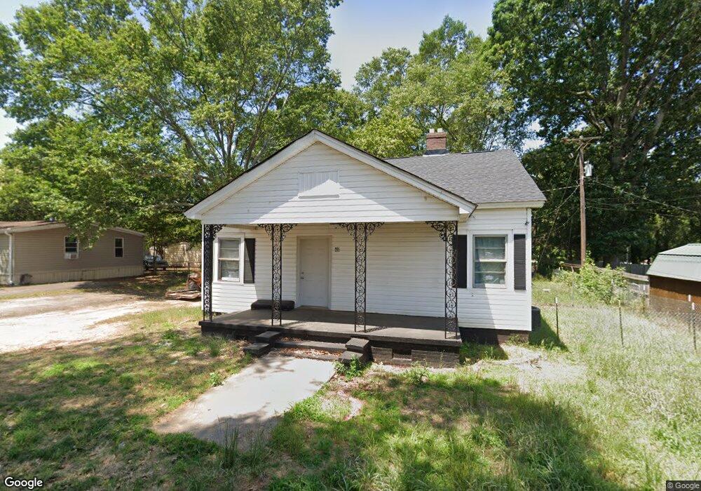
46 Harris St Anderson, SC 29624
Estimated Value: $84,629 - $189,000
Studio
--
Bath
1,074
Sq Ft
$123/Sq Ft
Est. Value
About This Home
This home is located at 46 Harris St, Anderson, SC 29624 and is currently estimated at $131,657, approximately $122 per square foot. 46 Harris St is a home located in Anderson County with nearby schools including Varennes Elementary School, McCants Middle School, and T.L. Hanna High School.
Ownership History
Date
Name
Owned For
Owner Type
Purchase Details
Closed on
Jun 17, 2022
Sold by
Ap Hold Investments Llc
Bought by
Ortiz Tamara Montano
Current Estimated Value
Purchase Details
Closed on
Aug 10, 2009
Sold by
Stamps Robin
Bought by
Burdette Bobby Wayne
Purchase Details
Closed on
Aug 1, 2008
Sold by
Burdette Bobby Wayne
Bought by
Stamps Robin
Home Financials for this Owner
Home Financials are based on the most recent Mortgage that was taken out on this home.
Original Mortgage
$21,522
Interest Rate
6.37%
Mortgage Type
Seller Take Back
Purchase Details
Closed on
May 2, 2008
Sold by
Vassar Wayne Brandon
Bought by
Burdette Bobby Wayne
Purchase Details
Closed on
Feb 18, 2002
Sold by
Jones Deborah P
Bought by
Lusk Steve
Create a Home Valuation Report for This Property
The Home Valuation Report is an in-depth analysis detailing your home's value as well as a comparison with similar homes in the area
Home Values in the Area
Average Home Value in this Area
Purchase History
| Date | Buyer | Sale Price | Title Company |
|---|---|---|---|
| Ortiz Tamara Montano | $41,230 | Mccord Law Firm Llc | |
| Ap Hold Investment Llc | $23,670 | Mccord Law Firm Llc | |
| Burdette Bobby Wayne | -- | -- | |
| Stamps Robin | $25,000 | -- | |
| Burdette Bobby Wayne | $11,500 | -- | |
| Lusk Steve | $5,000 | -- |
Source: Public Records
Mortgage History
| Date | Status | Borrower | Loan Amount |
|---|---|---|---|
| Previous Owner | Stamps Robin | $21,522 |
Source: Public Records
Tax History
| Year | Tax Paid | Tax Assessment Tax Assessment Total Assessment is a certain percentage of the fair market value that is determined by local assessors to be the total taxable value of land and additions on the property. | Land | Improvement |
|---|---|---|---|---|
| 2024 | $1,204 | $3,430 | $900 | $2,530 |
| 2023 | $1,204 | $3,430 | $900 | $2,530 |
| 2022 | $515 | $1,450 | $310 | $1,140 |
| 2021 | $537 | $1,420 | $230 | $1,190 |
| 2020 | $527 | $1,420 | $230 | $1,190 |
| 2019 | $527 | $1,420 | $230 | $1,190 |
| 2018 | $521 | $1,420 | $230 | $1,190 |
| 2017 | -- | $1,420 | $230 | $1,190 |
| 2016 | $549 | $1,530 | $210 | $1,320 |
| 2015 | $551 | $1,530 | $210 | $1,320 |
| 2014 | $540 | $1,530 | $210 | $1,320 |
Source: Public Records
Map
Nearby Homes
- 46 S Lyons St
- 16 N Prince St
- 601 Don Ave
- 6 Herring Ave
- 110 Dixie Dr
- 112 Dixie Dr
- 114 Dixie Dr
- Lt 0 Harris St
- 00 Hwy 28 Bypass New Pond Rd
- 107 Avondale Rd
- 1619 Nardin Ave
- 120 Ashley Ave
- 00 Crescent Dr
- 1616 Meadowbrook Cir
- 1413 S Mcduffie St
- 3016 S Main St
- 1411 S Mcduffie St
- 1407 S Mcduffie St
- 329 Sherman Dr
- 1510 S Fant St
Your Personal Tour Guide
Ask me questions while you tour the home.