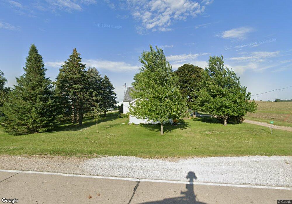
46 P Ave Stratford, IA 50249
Estimated Value: $228,000 - $513,035
3
Beds
1
Bath
2,227
Sq Ft
$163/Sq Ft
Est. Value
About This Home
This home is located at 46 P Ave, Stratford, IA 50249 and is currently estimated at $362,759, approximately $162 per square foot. 46 P Ave is a home located in Boone County with nearby schools including Stratford Elementary School.
Ownership History
Date
Name
Owned For
Owner Type
Purchase Details
Closed on
May 28, 2025
Sold by
Wirtz Robert L and Wirtz Debbi M
Bought by
Wirtz Family Trust and Wirtz
Current Estimated Value
Purchase Details
Closed on
Mar 14, 2006
Sold by
Ubben Willis G and Ubben Elaine K
Bought by
Wirtz Robert L and Wirtz Debbi M
Home Financials for this Owner
Home Financials are based on the most recent Mortgage that was taken out on this home.
Original Mortgage
$100,000
Interest Rate
6.33%
Mortgage Type
Future Advance Clause Open End Mortgage
Create a Home Valuation Report for This Property
The Home Valuation Report is an in-depth analysis detailing your home's value as well as a comparison with similar homes in the area
Home Values in the Area
Average Home Value in this Area
Purchase History
| Date | Buyer | Sale Price | Title Company |
|---|---|---|---|
| Wirtz Family Trust | -- | None Listed On Document | |
| Wirtz Family Trust | -- | None Listed On Document | |
| Wirtz Robert L | $127,500 | -- |
Source: Public Records
Mortgage History
| Date | Status | Borrower | Loan Amount |
|---|---|---|---|
| Previous Owner | Wirtz Robert L | $100,000 |
Source: Public Records
Tax History Compared to Growth
Tax History
| Year | Tax Paid | Tax Assessment Tax Assessment Total Assessment is a certain percentage of the fair market value that is determined by local assessors to be the total taxable value of land and additions on the property. | Land | Improvement |
|---|---|---|---|---|
| 2025 | $4,072 | $408,650 | $106,170 | $302,480 |
| 2024 | $4,072 | $361,523 | $72,892 | $288,631 |
| 2023 | $3,553 | $361,523 | $72,892 | $288,631 |
| 2022 | $3,170 | $239,879 | $58,980 | $180,899 |
| 2021 | $3,170 | $239,879 | $58,980 | $180,899 |
| 2020 | $3,111 | $225,300 | $58,980 | $166,320 |
| 2019 | $2,740 | $225,300 | $58,980 | $166,320 |
| 2018 | $2,776 | $231,958 | $0 | $0 |
| 2017 | $2,836 | $245,212 | $92,710 | $152,502 |
| 2016 | $3,272 | $263,513 | $92,710 | $170,803 |
| 2015 | $3,372 | $272,646 | $0 | $0 |
| 2014 | $3,340 | $272,646 | $0 | $0 |
Source: Public Records
Map
Nearby Homes
- 240 Q Ave
- 1263 125th St
- 3331 380th St
- 0 130th St E18 at U Ave
- 913 Moore St
- 931 Moore St
- 1118 Adams Ave
- 0 130th St Co Rd E18 at V Ave Unit NOC6333309
- 415 Howard St
- 629 Sunset Place
- 731 Q Ave
- 950 Main St
- 3024 Skillet Creek Rd
- 702 L Ave
- 307 Cottage St
- 2929 Highway 175
- 883 Nature Rd
- 586 I Ave
- 1264 T Ave
- 946 170th St