46 Path Rd Tolland, MA 01034
Estimated Value: $319,000 - $446,000
3
Beds
2
Baths
1,508
Sq Ft
$254/Sq Ft
Est. Value
About This Home
This home is located at 46 Path Rd, Tolland, MA 01034 and is currently estimated at $382,895, approximately $253 per square foot. 46 Path Rd is a home located in Hampden County with nearby schools including Woodland School, Powder Mill Middle School, and Southwick Regional School.
Ownership History
Date
Name
Owned For
Owner Type
Purchase Details
Closed on
Oct 14, 2005
Sold by
Weinstat Ann and Arnold Weinstat H
Bought by
Fisher Douglas M and Fisher Susan H
Current Estimated Value
Home Financials for this Owner
Home Financials are based on the most recent Mortgage that was taken out on this home.
Original Mortgage
$185,000
Outstanding Balance
$99,145
Interest Rate
5.78%
Mortgage Type
Purchase Money Mortgage
Estimated Equity
$283,750
Create a Home Valuation Report for This Property
The Home Valuation Report is an in-depth analysis detailing your home's value as well as a comparison with similar homes in the area
Home Values in the Area
Average Home Value in this Area
Purchase History
| Date | Buyer | Sale Price | Title Company |
|---|---|---|---|
| Fisher Douglas M | $244,900 | -- |
Source: Public Records
Mortgage History
| Date | Status | Borrower | Loan Amount |
|---|---|---|---|
| Open | Fisher Douglas M | $185,000 |
Source: Public Records
Tax History
| Year | Tax Paid | Tax Assessment Tax Assessment Total Assessment is a certain percentage of the fair market value that is determined by local assessors to be the total taxable value of land and additions on the property. | Land | Improvement |
|---|---|---|---|---|
| 2025 | $1,779 | $238,200 | $67,900 | $170,300 |
| 2024 | $1,826 | $228,200 | $64,700 | $163,500 |
| 2023 | $1,709 | $195,100 | $49,100 | $146,000 |
| 2022 | $1,673 | $185,900 | $46,800 | $139,100 |
| 2021 | $1,692 | $183,100 | $46,800 | $136,300 |
| 2020 | $1,512 | $169,900 | $42,400 | $127,500 |
| 2019 | $1,439 | $169,900 | $42,400 | $127,500 |
| 2018 | $1,436 | $167,800 | $42,400 | $125,400 |
| 2017 | $1,335 | $165,200 | $42,500 | $122,700 |
| 2016 | $1,230 | $178,800 | $54,500 | $124,300 |
| 2015 | $1,234 | $177,500 | $54,500 | $123,000 |
| 2014 | $1,289 | $178,000 | $63,800 | $114,200 |
Source: Public Records
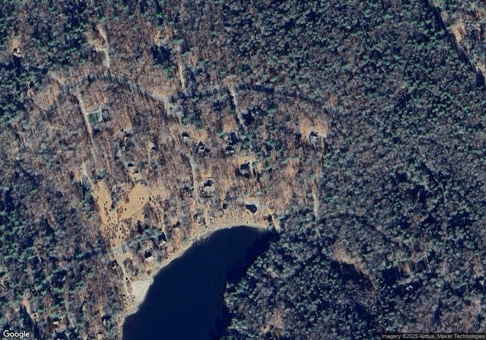
Map
Nearby Homes
- 6 Path Rd
- 200 Fox Den Rd
- 1154 Colebrook River Rd
- 1282 Burt Hill Rd
- 13 Beech Hill Rd
- 208 Old Forge Rd
- 425 Colebrook River Rd
- 266 Old Forge Rd
- 186 Mill St
- 0 Curtis Hall Rd Unit 73425043
- 0 Curtis Hall Rd Unit 73376838
- 19 Roberts Rd
- 0 Island Acres Rd Unit 73459836
- 23 S Pine St
- 0 Prock Hill Rd
- 604 Main Rd
- 80 Walnut Hill Rd
- 134 Kibbe Rd
- 454 Pine Rd
- 96 New Hartford Rd
- 36 Path Rd
- 43 Path Rd
- 26 Path Rd
- 63 Stones Throw Dr
- 100 Stones Throw Dr
- 108 Stones Throw Dr
- 88 Stones Throw Dr
- 37 Stones Throw Dr
- 17 Path Rd
- 0 Stone's Throw Dr
- 55 Stone's Throw Dr
- 82 Stones Throw Dr
- 62 Stones Throw Dr
- 56 Brook Ln
- 62 Stone's Throw Dr
- 74 Stones Throw Dr
- 394 Meadow Dr
- Lot 18 Brook Ln
- 14 Brook Ln
- 7 Stones Throw Dr
Your Personal Tour Guide
Ask me questions while you tour the home.