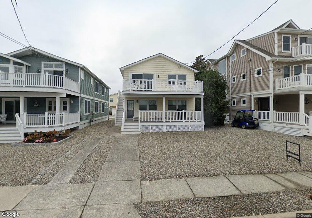
460 20th St Unit A Avalon, NJ 08202
Estimated Value: $827,716 - $1,215,000
--
Bed
--
Bath
1,056
Sq Ft
$1,048/Sq Ft
Est. Value
About This Home
This home is located at 460 20th St Unit A, Avalon, NJ 08202 and is currently estimated at $1,106,929, approximately $1,048 per square foot. 460 20th St Unit A is a home located in Cape May County with nearby schools including Avalon Elementary School.
Ownership History
Date
Name
Owned For
Owner Type
Purchase Details
Closed on
Oct 10, 2025
Sold by
Meyers Thomas J and Meyers Melissa E
Bought by
Allen Donald and Allen Emily
Current Estimated Value
Home Financials for this Owner
Home Financials are based on the most recent Mortgage that was taken out on this home.
Original Mortgage
$1,150,000
Outstanding Balance
$1,150,000
Interest Rate
5.67%
Mortgage Type
New Conventional
Estimated Equity
-$43,071
Purchase Details
Closed on
Jun 15, 2015
Sold by
Mallowe Charles A and Mallowe Allison M
Bought by
Meyers Thomas J and Meyers Melissa E
Home Financials for this Owner
Home Financials are based on the most recent Mortgage that was taken out on this home.
Original Mortgage
$73,350
Interest Rate
3.84%
Mortgage Type
Credit Line Revolving
Purchase Details
Closed on
May 1, 2009
Sold by
Brooks Stephen F and Brooks Candace H
Bought by
Trongone Anthony J
Home Financials for this Owner
Home Financials are based on the most recent Mortgage that was taken out on this home.
Original Mortgage
$262,500
Interest Rate
4.91%
Mortgage Type
Purchase Money Mortgage
Purchase Details
Closed on
Apr 30, 2009
Sold by
Brooks Stephen F and Brooks Candace H
Bought by
Mallowe Charles A and Mallowe Allison M
Home Financials for this Owner
Home Financials are based on the most recent Mortgage that was taken out on this home.
Original Mortgage
$262,500
Interest Rate
4.91%
Mortgage Type
Purchase Money Mortgage
Purchase Details
Closed on
Feb 14, 2002
Sold by
Hanna William D
Bought by
Brooks Stephen F and Brooks Candace H
Home Financials for this Owner
Home Financials are based on the most recent Mortgage that was taken out on this home.
Original Mortgage
$300,700
Interest Rate
7.04%
Purchase Details
Closed on
Aug 24, 1998
Sold by
Alspach Mark D
Bought by
Hanna William D and Hanna Rosemary
Home Financials for this Owner
Home Financials are based on the most recent Mortgage that was taken out on this home.
Original Mortgage
$147,000
Interest Rate
6.9%
Create a Home Valuation Report for This Property
The Home Valuation Report is an in-depth analysis detailing your home's value as well as a comparison with similar homes in the area
Home Values in the Area
Average Home Value in this Area
Purchase History
| Date | Buyer | Sale Price | Title Company |
|---|---|---|---|
| Allen Donald | $1,150,000 | Seaboard Title | |
| Meyers Thomas J | $489,000 | Seaboard Title Agency | |
| Trongone Anthony J | $350,000 | None Available | |
| Mallowe Charles A | $445,000 | Shore Title Agency Inc | |
| Brooks Stephen F | $425,000 | -- | |
| Hanna William D | $210,000 | -- |
Source: Public Records
Mortgage History
| Date | Status | Borrower | Loan Amount |
|---|---|---|---|
| Open | Allen Donald | $1,150,000 | |
| Previous Owner | Meyers Thomas J | $73,350 | |
| Previous Owner | Meyers Thomas J | $366,750 | |
| Previous Owner | Trongone Anthony J | $262,500 | |
| Previous Owner | Mallowe Charles A | $333,750 | |
| Previous Owner | Brooks Stephen F | $300,700 | |
| Previous Owner | Hanna William D | $147,000 |
Source: Public Records
Tax History Compared to Growth
Tax History
| Year | Tax Paid | Tax Assessment Tax Assessment Total Assessment is a certain percentage of the fair market value that is determined by local assessors to be the total taxable value of land and additions on the property. | Land | Improvement |
|---|---|---|---|---|
| 2025 | $2,816 | $458,700 | $400,000 | $58,700 |
| 2024 | $2,816 | $458,700 | $400,000 | $58,700 |
| 2023 | $2,793 | $458,700 | $400,000 | $58,700 |
| 2022 | $2,605 | $458,700 | $400,000 | $58,700 |
| 2021 | $2,509 | $458,700 | $400,000 | $58,700 |
| 2020 | $2,413 | $458,700 | $400,000 | $58,700 |
| 2019 | $2,339 | $458,700 | $400,000 | $58,700 |
| 2018 | $2,238 | $458,700 | $400,000 | $58,700 |
| 2017 | $1,679 | $301,900 | $250,000 | $51,900 |
| 2016 | $1,660 | $301,900 | $250,000 | $51,900 |
| 2015 | $1,633 | $301,900 | $250,000 | $51,900 |
| 2014 | $1,615 | $301,900 | $250,000 | $51,900 |
Source: Public Records
Map
Nearby Homes
- 440 21st St Unit South (B)
- 503 20th St
- 415 20th St
- 890 21st St
- 389 22nd St
- 431 24th St
- 297 24th St Unit 297
- 647 Barry Rd
- 2425 Harbor Ave Unit 2425
- 211 23rd St
- 178 19th St
- 212 25th St
- 212 25th St Unit East Unit
- 174 23rd St
- 161 24th St
- 279 13th St Unit C-6
- 279 13th St
- 128 16th St
- 179 27th St
- 76 21st St W
- 458 20th St
- 464 20th St
- 450 20th St
- 450 20th St
- 450 20th St Unit C-B
- 440 20th St Unit A
- 440 20th St
- 440 20th St Unit 1st Floor
- 440 20th St Unit B
- 470 20th St
- 459 21st St
- 441 21st St
- 430 20th St
- 478 20th St
- 478 20th St Unit 1st Floor
- 478 20th St Unit 1 (one)
- 469 21st St
- 480 20th St
- 457 20th St Unit 457
- 427 21st St