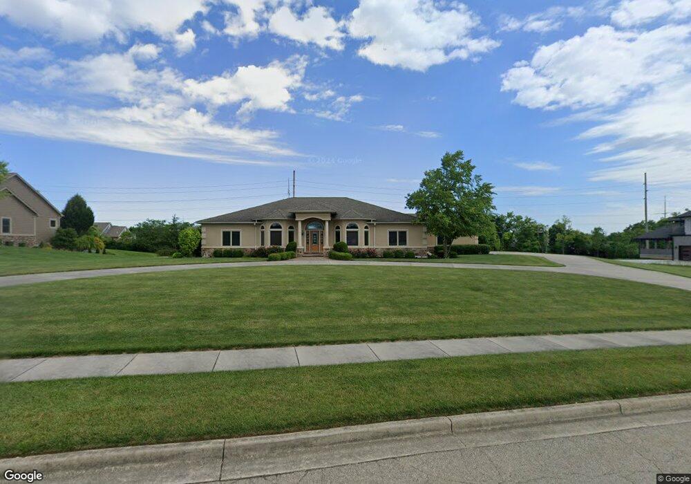
460 Burnside Dr Tipp City, OH 45371
Estimated Value: $623,000 - $1,036,745
4
Beds
5
Baths
3,626
Sq Ft
$208/Sq Ft
Est. Value
About This Home
This home is located at 460 Burnside Dr, Tipp City, OH 45371 and is currently estimated at $754,686, approximately $208 per square foot. 460 Burnside Dr is a home located in Miami County with nearby schools including Broadway Elementary School, Nevin Coppock Elementary School, and L. T. Ball Intermediate School.
Ownership History
Date
Name
Owned For
Owner Type
Purchase Details
Closed on
Feb 5, 2025
Sold by
Huelskamp Keith H and Huelskamp Keith
Bought by
Regina F Huelskamp Revocable Living Trust and Huelskamp
Current Estimated Value
Purchase Details
Closed on
Sep 3, 2008
Sold by
Blair Group
Bought by
Huelskamp Keith
Create a Home Valuation Report for This Property
The Home Valuation Report is an in-depth analysis detailing your home's value as well as a comparison with similar homes in the area
Home Values in the Area
Average Home Value in this Area
Purchase History
| Date | Buyer | Sale Price | Title Company |
|---|---|---|---|
| Regina F Huelskamp Revocable Living Trust | -- | None Listed On Document | |
| Huelskamp Keith | $140,000 | -- |
Source: Public Records
Tax History Compared to Growth
Tax History
| Year | Tax Paid | Tax Assessment Tax Assessment Total Assessment is a certain percentage of the fair market value that is determined by local assessors to be the total taxable value of land and additions on the property. | Land | Improvement |
|---|---|---|---|---|
| 2024 | $14,641 | $288,160 | $36,960 | $251,200 |
| 2023 | $14,641 | $288,160 | $36,960 | $251,200 |
| 2022 | $13,394 | $288,160 | $36,960 | $251,200 |
| 2021 | $12,306 | $240,140 | $30,800 | $209,340 |
| 2020 | $12,457 | $240,140 | $30,800 | $209,340 |
| 2019 | $12,570 | $240,140 | $30,800 | $209,340 |
| 2018 | $11,417 | $203,600 | $30,800 | $172,800 |
| 2017 | $11,460 | $203,600 | $30,800 | $172,800 |
| 2016 | $11,093 | $203,600 | $30,800 | $172,800 |
| 2015 | $10,495 | $203,600 | $30,800 | $172,800 |
| 2014 | $10,495 | $203,600 | $30,800 | $172,800 |
| 2013 | $10,548 | $203,600 | $30,800 | $172,800 |
Source: Public Records
Map
Nearby Homes
- 582 Storm Ct
- 465 Cayman Cir
- 850 Todd Ct
- 549 Whispering Pines Ave
- 635 Kitrina Ave Unit B
- 1117 Honeydew Dr
- 1109 Honeydew Dr
- 625 Lantana Ct
- 919 Cypress Place
- 5166 Catalpa Dr
- 36 Wilhelm St
- 536 Michael Place
- 703 Nelson Ct
- 760 Rosedale Dr
- 239 W Elm St
- 514 S 3rd St
- 423 S 2nd St
- 6690 S County Road 25a
- 100 Wunderwood Dr
- 36 Regency Square
- 470 Burnside Dr
- 450 Burnside Dr
- 604 Burnside Dr
- 636 Burnside Dr
- 480 Burnside Dr
- 440 Burnside Dr
- 596 Burnside Dr
- 668 Burnside Dr
- 455 Burnside Dr
- 580 Burnside Dr
- 684 Burnside Dr
- 475 Burnside Dr
- 445 Burnside Dr
- 619 Burnside Dr
- 603 Burnside Dr
- 635 Burnside Dr
- 485 Burnside Dr
- 564 Burnside Dr
- 430 Burnside Dr
- 667 Burnside Dr