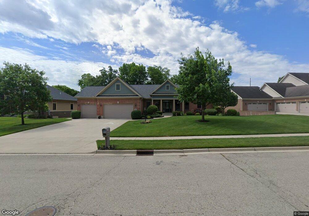
564 Burnside Dr Tipp City, OH 45371
Tipp City AreaEstimated Value: $508,000 - $579,000
About This Home
This home is located at 564 Burnside Dr, Tipp City, OH 45371 and is currently estimated at $542,476, approximately $117 per square foot. 564 Burnside Dr is a home located in Miami County with nearby schools including Broadway Elementary School, Nevin Coppock Elementary School, and L. T. Ball Intermediate School.
Ownership History
We collect this data history from publicly available records. To have your information removed, we recommend requesting removal directly through your county’s website.
Purchase Details
Home Financials for this Owner
Home Financials are based on the most recent Mortgage that was taken out on this home.Purchase Details
Home Values in the Area
Average Home Value in this Area
Purchase History
We collect this data history from publicly available records. To have your information removed, we recommend requesting removal directly through your county’s website.
| Date | Buyer | Sale Price | Title Company |
|---|---|---|---|
| $390,000 | -- | ||
| $128,000 | -- |
Mortgage History
We collect this data history from publicly available records. To have your information removed, we recommend requesting removal directly through your county’s website.
| Date | Status | Borrower | Loan Amount |
|---|---|---|---|
| Closed | $200,000 | ||
| Closed | $293,500 | ||
| Closed | $293,500 |
Tax History
We collect this data history from publicly available records. To have your information removed, we recommend requesting removal directly through your county’s website.
| Year | Tax Paid | Tax Assessment Tax Assessment Total Assessment is a certain percentage of the fair market value that is determined by local assessors to be the total taxable value of land and additions on the property. | Land | Improvement |
|---|---|---|---|---|
| 2025 | $6,808 | $163,030 | $21,000 | $142,030 |
| 2024 | $6,808 | $154,180 | $21,000 | $133,180 |
| 2023 | $7,675 | $154,180 | $21,000 | $133,180 |
| 2022 | $6,996 | $154,180 | $21,000 | $133,180 |
| 2021 | $6,430 | $128,490 | $17,500 | $110,990 |
| 2020 | $6,509 | $128,490 | $17,500 | $110,990 |
| 2019 | $6,568 | $128,490 | $17,500 | $110,990 |
| 2018 | $6,023 | $109,970 | $17,500 | $92,470 |
| 2017 | $6,046 | $109,970 | $17,500 | $92,470 |
| 2016 | $5,843 | $109,970 | $17,500 | $92,470 |
| 2015 | $5,511 | $109,970 | $17,500 | $92,470 |
| 2014 | $5,511 | $109,970 | $17,500 | $92,470 |
| 2013 | $5,539 | $109,970 | $17,500 | $92,470 |
Map
- 582 Storm Ct
- 775 Lennox Ct
- 5193 Waterleaf Dr
- 5967 Shooting Star St
- 1107 Honeydew Dr
- 610 Stonecress Dr
- 654 Beechwood Dr
- 568 Barbara Dr
- 3609 Cypress Pointe Dr
- 801 Hawk Ave
- 994 Brookmere Ave
- 413 S 1st St
- 546 Horton Ave
- 541 Horton Ave
- 7655 Winding Way S
- 7040 S County Road 25a
- 860 Scenic Knoll
- 6320 S Co Road 25a
- 19 S 2nd St
- 1414 Ohio 571
- 580 Burnside Dr
- 548 Burnside Dr
- 596 Burnside Dr
- 579 Burnside Dr
- 563 Burnside Dr
- 490 Burnside Dr
- 595 Burnside Dr
- 547 Burnside Dr
- 604 Burnside Dr
- 505 Burnside Dr
- 515 Burnside Dr
- 603 Burnside Dr
- 620 Burnside Dr
- 480 Burnside Dr
- 495 Burnside Dr
- 568 Storm Ct
- 470 Burnside Dr
- 619 Burnside Dr
- 460 Burnside Dr
- 496 Cayman Cir
Ask me questions while you tour the home.