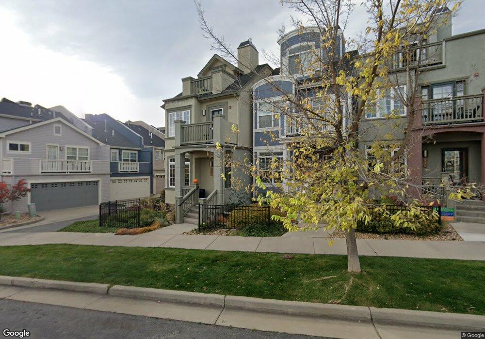
460 Laramie Blvd Boulder, CO 80304
North Boulder NeighborhoodEstimated Value: $1,130,000 - $1,262,000
4
Beds
5
Baths
2,380
Sq Ft
$495/Sq Ft
Est. Value
About This Home
This home is located at 460 Laramie Blvd, Boulder, CO 80304 and is currently estimated at $1,178,345, approximately $495 per square foot. 460 Laramie Blvd is a home located in Boulder County with nearby schools including Foothill Elementary School, Centennial Middle School, and Boulder High School.
Ownership History
Date
Name
Owned For
Owner Type
Purchase Details
Closed on
Oct 29, 2009
Sold by
Merlin Michael K
Bought by
Cook Nigel T
Current Estimated Value
Home Financials for this Owner
Home Financials are based on the most recent Mortgage that was taken out on this home.
Original Mortgage
$367,400
Outstanding Balance
$238,563
Interest Rate
5.05%
Mortgage Type
New Conventional
Estimated Equity
$939,782
Purchase Details
Closed on
Jan 18, 2005
Sold by
Markel Homes Construction Co
Bought by
Merlin Michael K
Home Financials for this Owner
Home Financials are based on the most recent Mortgage that was taken out on this home.
Original Mortgage
$240,000
Interest Rate
5.8%
Mortgage Type
Purchase Money Mortgage
Create a Home Valuation Report for This Property
The Home Valuation Report is an in-depth analysis detailing your home's value as well as a comparison with similar homes in the area
Home Values in the Area
Average Home Value in this Area
Purchase History
| Date | Buyer | Sale Price | Title Company |
|---|---|---|---|
| Cook Nigel T | $510,000 | Htco | |
| Merlin Michael K | $460,197 | Fahtco |
Source: Public Records
Mortgage History
| Date | Status | Borrower | Loan Amount |
|---|---|---|---|
| Open | Cook Nigel T | $367,400 | |
| Previous Owner | Merlin Michael K | $240,000 |
Source: Public Records
Tax History Compared to Growth
Tax History
| Year | Tax Paid | Tax Assessment Tax Assessment Total Assessment is a certain percentage of the fair market value that is determined by local assessors to be the total taxable value of land and additions on the property. | Land | Improvement |
|---|---|---|---|---|
| 2025 | $6,703 | $72,388 | $33,694 | $38,694 |
| 2024 | $6,703 | $72,388 | $33,694 | $38,694 |
| 2023 | $6,586 | $82,966 | $36,776 | $49,875 |
| 2022 | $6,319 | $68,047 | $29,461 | $38,586 |
| 2021 | $6,026 | $70,006 | $30,309 | $39,697 |
| 2020 | $5,817 | $66,832 | $22,094 | $44,738 |
| 2019 | $5,728 | $66,832 | $22,094 | $44,738 |
| 2018 | $5,022 | $57,924 | $23,184 | $34,740 |
| 2017 | $4,865 | $64,038 | $25,631 | $38,407 |
| 2016 | $4,548 | $52,536 | $21,014 | $31,522 |
| 2015 | $4,306 | $40,445 | $9,234 | $31,211 |
| 2014 | $3,401 | $40,445 | $9,234 | $31,211 |
Source: Public Records
Map
Nearby Homes
- 5318 5th St Unit D
- 4921 Fountain St
- 5048 Ralston St Unit K
- 985 Laramie Blvd Unit C
- 1095 Terrace Cir S
- 1045 Laramie Blvd Unit F
- 1045 Laramie Blvd Unit B
- 700 Hill St
- 789 Zamia Ave
- 700 Yellow Pine Ave
- 1400 Lee Hill Dr Unit 6
- 1420 Lee Hill Dr
- 1200 Yarmouth Ave Unit 239
- 4555 13th St Unit 2-C
- 1455 Yarmouth Ave Unit 211
- 4520 Broadway St Unit 207
- 5384 Olde Stage Rd
- 71 Ridge Dr
- 1280 N Cedar Brook Rd
- 1120 Violet Ave