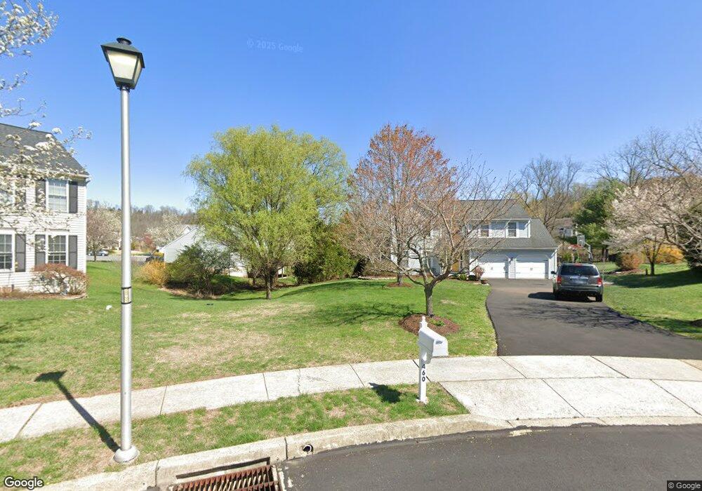
460 Wingspread Ct Reading, PA 19606
Exeter NeighborhoodEstimated Value: $513,000 - $568,000
3
Beds
3
Baths
3,112
Sq Ft
$172/Sq Ft
Est. Value
About This Home
This home is located at 460 Wingspread Ct, Reading, PA 19606 and is currently estimated at $535,350, approximately $172 per square foot. 460 Wingspread Ct is a home located in Berks County with nearby schools including Owatin Creek Elementary School, Exeter Township Junior High School, and Exeter Township Senior High School.
Ownership History
Date
Name
Owned For
Owner Type
Purchase Details
Closed on
Jan 3, 2000
Sold by
Berks Construction Co Inc
Bought by
Keperling Shaun L and Keperling Heather T
Current Estimated Value
Home Financials for this Owner
Home Financials are based on the most recent Mortgage that was taken out on this home.
Original Mortgage
$173,750
Interest Rate
7.64%
Create a Home Valuation Report for This Property
The Home Valuation Report is an in-depth analysis detailing your home's value as well as a comparison with similar homes in the area
Home Values in the Area
Average Home Value in this Area
Purchase History
| Date | Buyer | Sale Price | Title Company |
|---|---|---|---|
| Keperling Shaun L | $193,300 | -- |
Source: Public Records
Mortgage History
| Date | Status | Borrower | Loan Amount |
|---|---|---|---|
| Previous Owner | Keperling Shaun L | $173,750 |
Source: Public Records
Tax History Compared to Growth
Tax History
| Year | Tax Paid | Tax Assessment Tax Assessment Total Assessment is a certain percentage of the fair market value that is determined by local assessors to be the total taxable value of land and additions on the property. | Land | Improvement |
|---|---|---|---|---|
| 2025 | $3,483 | $239,800 | $60,200 | $179,600 |
| 2024 | $10,666 | $224,600 | $60,200 | $164,400 |
| 2023 | $10,317 | $224,600 | $60,200 | $164,400 |
| 2022 | $10,202 | $224,600 | $60,200 | $164,400 |
| 2021 | $10,047 | $224,600 | $60,200 | $164,400 |
| 2020 | $9,936 | $224,600 | $60,200 | $164,400 |
| 2019 | $9,826 | $224,600 | $60,200 | $164,400 |
| 2018 | $9,797 | $224,600 | $60,200 | $164,400 |
| 2017 | $9,656 | $224,600 | $60,200 | $164,400 |
| 2016 | $2,377 | $224,600 | $60,200 | $164,400 |
| 2015 | $2,377 | $224,600 | $60,200 | $164,400 |
| 2014 | $2,294 | $224,600 | $60,200 | $164,400 |
Source: Public Records
Map
Nearby Homes
- 29 Ladderback Ln
- 705 Schoffers Rd
- 11 Valley Dr
- 16 Mulligan Dr
- 700 Fabers Rd
- 240 Rugby Rd
- 21 Sawgrass Dr
- 120 & 110 Kerr Rd
- 207 Lincoln Dr
- 129 Virginia Ave
- 105 Fairmount Ave
- 140 Heister Rd
- 4861 Dunham Dr
- 6 Taylor Dr
- 105 Bordic Rd
- 6221 Perkiomen Ave
- 40 Gunpowder Ln
- 201 Bordic Rd
- 1105 Heathrow Ct
- 1102 Pepper Ridge Dr
- 15 Boxwood Ct
- 450 Wingspread Ct
- 16 Boxwood Ct
- 461 Wingspread Ct
- 11 Boxwood Ct
- 440 Wingspread Ct
- 451 Wingspread Ct
- 7 Boxwood Ct
- 12 Boxwood Ct
- 441 Wingspread Ct
- 430 Wingspread Ct
- 8 Boxwood Ct
- 443 Pennsylvania Ave
- 431 Wingspread Ct
- 3 Boxwood Ct
- 437 Pennsylvania Ave
- 443 Pennsylvania Ave
- 20 Pickwick Place
- 16 Pickwick Place
- 431 Pennsylvania Ave