4600 E 531 N Roanoke, IN 46783
Estimated Value: $445,000 - $543,144
3
Beds
4
Baths
4,263
Sq Ft
$116/Sq Ft
Est. Value
About This Home
This home is located at 4600 E 531 N, Roanoke, IN 46783 and is currently estimated at $496,286, approximately $116 per square foot. 4600 E 531 N is a home located in Huntington County with nearby schools including Roanoke Elementary School, Crestview Middle School, and Huntington North High School.
Create a Home Valuation Report for This Property
The Home Valuation Report is an in-depth analysis detailing your home's value as well as a comparison with similar homes in the area
Tax History
| Year | Tax Paid | Tax Assessment Tax Assessment Total Assessment is a certain percentage of the fair market value that is determined by local assessors to be the total taxable value of land and additions on the property. | Land | Improvement |
|---|---|---|---|---|
| 2024 | $3,452 | $431,800 | $36,000 | $395,800 |
| 2023 | $3,457 | $409,400 | $36,000 | $373,400 |
| 2022 | $3,349 | $399,000 | $36,000 | $363,000 |
| 2021 | $2,913 | $323,500 | $36,000 | $287,500 |
| 2020 | $2,784 | $302,500 | $36,000 | $266,500 |
| 2019 | $2,503 | $298,800 | $36,000 | $262,800 |
| 2018 | $2,697 | $306,300 | $31,000 | $275,300 |
| 2017 | $2,379 | $302,100 | $31,000 | $271,100 |
| 2016 | $2,065 | $299,200 | $31,000 | $268,200 |
| 2014 | $2,085 | $295,500 | $31,000 | $264,500 |
| 2013 | $2,085 | $296,700 | $31,000 | $265,700 |
Source: Public Records
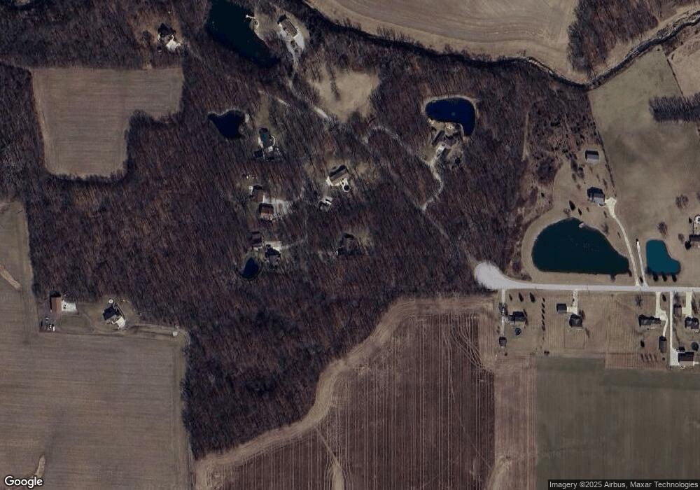
Map
Nearby Homes
- 5156 N Mayne Rd
- 0 Ginger Rd
- 4565 E Station Rd
- 451 Rockwell Ave
- 602 Nancyk Crossing
- 416 Nordyk Dr
- 183 W Vine St
- 13011 Hamilton Rd
- TBD W Yoder Rd
- 11802 NW Smuts Dr
- 415 Posey Hill St
- 775 N Seminary St
- TBD Feighner Rd
- tbd Kilsoquah
- 17503 Wayne St
- 10930 Yoder Rd
- 4299 E 1000 N
- 798 N 500 E
- TBD W 900 N
- 11136 N 200 W
Your Personal Tour Guide
Ask me questions while you tour the home.