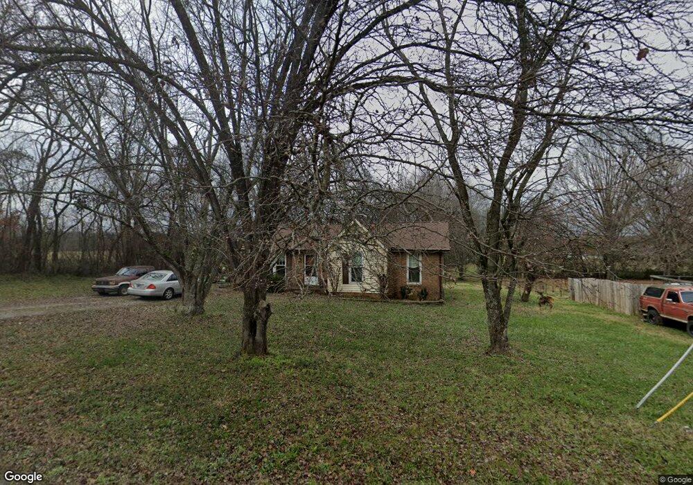
4601 Mandy Ln Murfreesboro, TN 37129
Estimated Value: $247,298 - $350,000
Studio
1
Bath
1,158
Sq Ft
$258/Sq Ft
Est. Value
About This Home
This home is located at 4601 Mandy Ln, Murfreesboro, TN 37129 and is currently estimated at $298,325, approximately $257 per square foot. 4601 Mandy Ln is a home located in Rutherford County with nearby schools including Walter Hill Elementary School, Siegel Middle School, and Siegel High School.
Ownership History
Date
Name
Owned For
Owner Type
Purchase Details
Closed on
Nov 30, 2005
Sold by
Wisniewski Gina L
Bought by
Donald Dahlberg Albert
Current Estimated Value
Home Financials for this Owner
Home Financials are based on the most recent Mortgage that was taken out on this home.
Original Mortgage
$74,160
Outstanding Balance
$41,345
Interest Rate
6.23%
Estimated Equity
$256,980
Purchase Details
Closed on
Jun 18, 1996
Sold by
Ronald Wisniewski
Bought by
Wisniewski Gina L
Create a Home Valuation Report for This Property
The Home Valuation Report is an in-depth analysis detailing your home's value as well as a comparison with similar homes in the area
Home Values in the Area
Average Home Value in this Area
Purchase History
| Date | Buyer | Sale Price | Title Company |
|---|---|---|---|
| Donald Dahlberg Albert | $92,700 | -- | |
| Wisniewski Gina L | -- | -- |
Source: Public Records
Mortgage History
| Date | Status | Borrower | Loan Amount |
|---|---|---|---|
| Open | Wisniewski Gina L | $74,160 | |
| Closed | Wisniewski Gina L | $18,540 |
Source: Public Records
Tax History
| Year | Tax Paid | Tax Assessment Tax Assessment Total Assessment is a certain percentage of the fair market value that is determined by local assessors to be the total taxable value of land and additions on the property. | Land | Improvement |
|---|---|---|---|---|
| 2025 | -- | $52,400 | $13,750 | $38,650 |
| 2024 | -- | $52,400 | $13,750 | $38,650 |
| 2023 | $983 | $52,400 | $13,750 | $38,650 |
| 2022 | $835 | $51,650 | $13,750 | $37,900 |
| 2021 | $679 | $30,600 | $8,125 | $22,475 |
| 2020 | $679 | $30,600 | $8,125 | $22,475 |
| 2019 | $679 | $30,600 | $8,125 | $22,475 |
| 2018 | $642 | $30,600 | $0 | $0 |
| 2017 | $647 | $24,125 | $0 | $0 |
| 2016 | $647 | $24,125 | $0 | $0 |
| 2015 | $647 | $24,125 | $0 | $0 |
| 2014 | $600 | $24,125 | $0 | $0 |
| 2013 | -- | $22,425 | $0 | $0 |
Source: Public Records
Map
Nearby Homes
- 243 W Jefferson Pike
- 4698 Mandy Ln
- 6464 Lebanon Rd
- 802 Ronald Dr
- 0 Holly Grove Rd Unit RTC3046903
- 0 Holly Grove Rd Unit 241840
- 0 Holly Grove Rd Unit RTC3118265
- 0 Holly Grove Rd Unit RTC3043232
- 1304 Sam Houston Ave
- 1334 Davy Crockett Dr
- 1328 Sam Houston Ave
- 313 Holly Grove Rd
- 9106 Dandelion Dr
- 365 Royal Garden Dr
- 5111 General Eisenhower Dr
- 5107 General Eisenhower Dr
- 5120 Macarthur Ave
- 1426 Alamo Ave
- 5028 General Eisenhower Dr
- 8988 Big Oak Dr
Your Personal Tour Guide
Ask me questions while you tour the home.