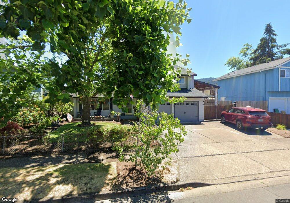
461 71st St Springfield, OR 97478
Thurston NeighborhoodEstimated Value: $406,000 - $443,000
3
Beds
2
Baths
1,616
Sq Ft
$264/Sq Ft
Est. Value
About This Home
This home is located at 461 71st St, Springfield, OR 97478 and is currently estimated at $426,470, approximately $263 per square foot. 461 71st St is a home located in Lane County with nearby schools including Thurston Elementary School, Thurston Middle School, and Thurston High School.
Create a Home Valuation Report for This Property
The Home Valuation Report is an in-depth analysis detailing your home's value as well as a comparison with similar homes in the area
Home Values in the Area
Average Home Value in this Area
Tax History
| Year | Tax Paid | Tax Assessment Tax Assessment Total Assessment is a certain percentage of the fair market value that is determined by local assessors to be the total taxable value of land and additions on the property. | Land | Improvement |
|---|---|---|---|---|
| 2025 | $4,415 | $240,769 | -- | -- |
| 2024 | $4,344 | $233,757 | -- | -- |
| 2023 | $4,344 | $226,949 | $0 | $0 |
| 2022 | $4,023 | $220,339 | $0 | $0 |
| 2021 | $3,951 | $213,922 | $0 | $0 |
| 2020 | $3,835 | $207,692 | $0 | $0 |
| 2019 | $3,720 | $201,643 | $0 | $0 |
| 2018 | $3,507 | $190,068 | $0 | $0 |
| 2017 | $3,372 | $190,068 | $0 | $0 |
| 2016 | $3,301 | $184,532 | $0 | $0 |
| 2015 | $3,207 | $179,157 | $0 | $0 |
| 2014 | $3,159 | $173,939 | $0 | $0 |
Source: Public Records
Map
Nearby Homes
- 353 71st St
- 0 Omlid Dr Unit 1 706471345
- 0 Omlid Dr Unit 11
- 0 Omlid Dr Unit 27 796722689
- 0 Omlid Dr Unit 26 256458253
- 0 Omlid Dr Unit 10
- 0 Omlid Dr Unit 3 154724851
- 0 Omlid Dr Unit 2 312357104
- 6875 B St
- 246 S 70th St
- 250 68th St
- 7080 Thurston Rd Unit 2
- 6964 Bluebelle Way
- 6898 Thurston Rd
- 6885 Simeon Dr
- 555 66th St
- 616 S 71st St
- 7027 S E St
- 0 S 69th Place
- 6540 B St
Your Personal Tour Guide
Ask me questions while you tour the home.