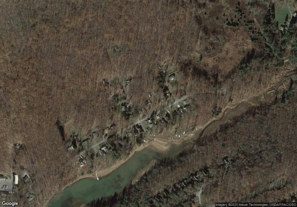
461 Brant Rd Swanton, MD 21561
Estimated Value: $313,000 - $492,000
2
Beds
1
Bath
1,350
Sq Ft
$299/Sq Ft
Est. Value
About This Home
This home is located at 461 Brant Rd, Swanton, MD 21561 and is currently estimated at $403,585, approximately $298 per square foot. 461 Brant Rd is a home located in Garrett County with nearby schools including Accident Elementary School, Northern Middle School, and Northern Garrett High School.
Ownership History
Date
Name
Owned For
Owner Type
Purchase Details
Closed on
Apr 19, 2011
Sold by
Morgan Almeda
Bought by
Kaier Gregory W and Kaier Sherry L
Current Estimated Value
Home Financials for this Owner
Home Financials are based on the most recent Mortgage that was taken out on this home.
Original Mortgage
$100,000
Outstanding Balance
$68,862
Interest Rate
4.76%
Mortgage Type
New Conventional
Estimated Equity
$334,723
Purchase Details
Closed on
Jun 27, 2008
Sold by
Caranese Shirley
Bought by
Morgan Almeda Lif Int and Caranese Shirley
Purchase Details
Closed on
Jun 18, 2008
Sold by
Caranese Shirley
Bought by
Morgan Almeda Lif Int and Caranese Shirley
Create a Home Valuation Report for This Property
The Home Valuation Report is an in-depth analysis detailing your home's value as well as a comparison with similar homes in the area
Purchase History
| Date | Buyer | Sale Price | Title Company |
|---|---|---|---|
| Kaier Gregory W | $125,000 | -- | |
| Morgan Almeda Lif Int | -- | -- | |
| Morgan Almeda Lif Int | -- | -- |
Source: Public Records
Mortgage History
| Date | Status | Borrower | Loan Amount |
|---|---|---|---|
| Open | Kaier Gregory W | $100,000 |
Source: Public Records
Tax History
| Year | Tax Paid | Tax Assessment Tax Assessment Total Assessment is a certain percentage of the fair market value that is determined by local assessors to be the total taxable value of land and additions on the property. | Land | Improvement |
|---|---|---|---|---|
| 2025 | $3,162 | $269,800 | $38,500 | $231,300 |
| 2024 | $2,760 | $226,633 | $0 | $0 |
| 2023 | $2,235 | $183,467 | $0 | $0 |
| 2022 | $1,723 | $140,300 | $38,500 | $101,800 |
| 2021 | $1,559 | $125,900 | $0 | $0 |
| 2020 | $1,380 | $111,500 | $0 | $0 |
| 2019 | $1,202 | $97,100 | $38,500 | $58,600 |
| 2018 | $1,138 | $97,100 | $38,500 | $58,600 |
| 2017 | $1,138 | $97,100 | $0 | $0 |
| 2016 | -- | $98,500 | $0 | $0 |
| 2015 | -- | $98,500 | $0 | $0 |
| 2014 | -- | $98,500 | $0 | $0 |
Source: Public Records
Map
Nearby Homes
- 12 Michelle Dr
- 2195 Glendale Rd
- 41 Wilson Cir
- 0 Wilson Cir Unit MDGA2011028
- 725 Candle Tree Ln
- 428 Pinnacle Dr
- 31 Linz Ln
- 350 Pinnacle Dr
- 51 Waterfront Greens Dr
- 21 Lakefront Links Dr
- 723 Pinnacle Dr
- 95 NE White Oak Dr
- 495 White Oak Dr
- 791 Beckmans Peninsula Rd
- 0 Misty Meadows Dr Unit MDGA2008784
- Lot 2 Harvey Peninsula Rd
- 699 Harveys Peninsula Rd
- 519 Paradise Heights
- 439 Paradise Heights
- 294 N Shoreline Dr
