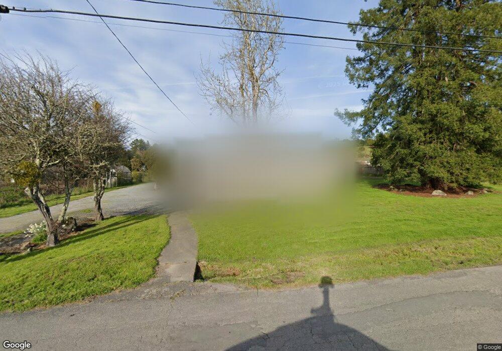
461 Sexton Rd Sebastopol, CA 95472
Estimated Value: $919,000 - $1,446,000
3
Beds
2
Baths
2,007
Sq Ft
$582/Sq Ft
Est. Value
About This Home
This home is located at 461 Sexton Rd, Sebastopol, CA 95472 and is currently estimated at $1,168,538, approximately $582 per square foot. 461 Sexton Rd is a home located in Sonoma County with nearby schools including Apple Blossom School, Analy High School, and Sebastopol Independent Charter School.
Ownership History
Date
Name
Owned For
Owner Type
Purchase Details
Closed on
Sep 26, 2022
Sold by
Coffee Randy M and Coffee Linda Joy
Bought by
Randy M Coffee And Linda Joy Coffee Trust and Coffee
Current Estimated Value
Purchase Details
Closed on
Oct 29, 1996
Sold by
Great Western Bank Fsb
Bought by
Coffee Randy M and Coffee Linda Joy
Home Financials for this Owner
Home Financials are based on the most recent Mortgage that was taken out on this home.
Original Mortgage
$135,000
Interest Rate
8.11%
Mortgage Type
Balloon
Purchase Details
Closed on
Jun 25, 1996
Sold by
Heintz Charles E and Heintz Lori L
Bought by
Great Western Bank
Create a Home Valuation Report for This Property
The Home Valuation Report is an in-depth analysis detailing your home's value as well as a comparison with similar homes in the area
Purchase History
| Date | Buyer | Sale Price | Title Company |
|---|---|---|---|
| Randy M Coffee And Linda Joy Coffee Trust | -- | None Listed On Document | |
| Coffee Randy M | $180,000 | Northwestern Title Security | |
| Great Western Bank | $180,000 | Old Republic Title |
Source: Public Records
Mortgage History
| Date | Status | Borrower | Loan Amount |
|---|---|---|---|
| Previous Owner | Coffee Randy M | $135,000 |
Source: Public Records
Tax History
| Year | Tax Paid | Tax Assessment Tax Assessment Total Assessment is a certain percentage of the fair market value that is determined by local assessors to be the total taxable value of land and additions on the property. | Land | Improvement |
|---|---|---|---|---|
| 2025 | $3,631 | $293,571 | $195,720 | $97,851 |
| 2024 | $3,631 | $287,816 | $191,883 | $95,933 |
| 2023 | $3,631 | $282,173 | $188,121 | $94,052 |
| 2022 | $3,469 | $276,641 | $184,433 | $92,208 |
| 2021 | $3,411 | $271,217 | $180,817 | $90,400 |
| 2020 | $3,458 | $268,437 | $178,963 | $89,474 |
| 2019 | $3,170 | $263,174 | $175,454 | $87,720 |
| 2018 | $3,120 | $258,014 | $172,014 | $86,000 |
| 2017 | $2,989 | $252,956 | $168,642 | $84,314 |
| 2016 | $2,935 | $247,997 | $165,336 | $82,661 |
| 2015 | $2,843 | $244,273 | $162,853 | $81,420 |
| 2014 | $2,788 | $239,489 | $159,663 | $79,826 |
Source: Public Records
Map
Nearby Homes
- 1120 W Sexton Rd
- 459 Gold Ridge Rd
- 870 Gold Ridge Rd
- 189 Wagnon Rd
- 1025 Laurel Ave
- 940 Ferguson Rd
- 790 Ferguson Rd
- 755 Watertrough Rd
- 10966 Barnett Valley Rd
- 1365 Grandview Rd
- 0 Bodega Hwy
- 3590 Burnside Rd
- 8256 Valley View Dr
- 8086 Bodega Ave
- 9935 Occidental Rd
- 200 Pleasant Hill Ave N
- 789 Pleasant Hill Rd
- 8091 Hill Dr
- 12195 Fiori Ln
- 7950 Viola Ct
Your Personal Tour Guide
Ask me questions while you tour the home.