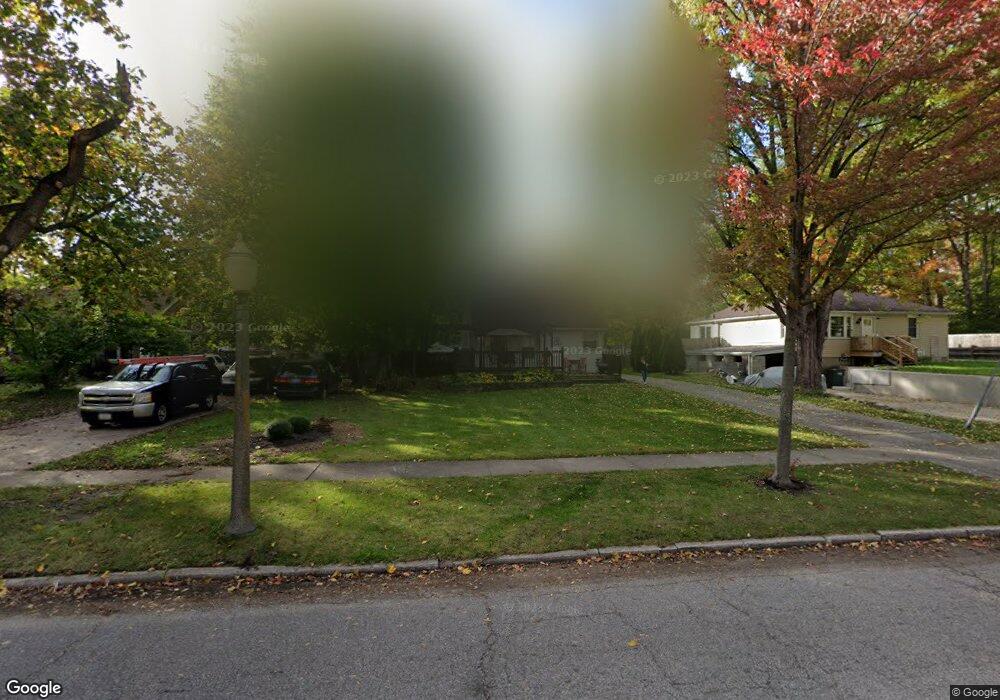
4610 Ora St Lansing, MI 48910
Old Everett NeighborhoodEstimated Value: $110,000 - $178,000
3
Beds
1
Bath
1,790
Sq Ft
$80/Sq Ft
Est. Value
About This Home
This home is located at 4610 Ora St, Lansing, MI 48910 and is currently estimated at $143,648, approximately $80 per square foot. 4610 Ora St is a home located in Ingham County with nearby schools including Kendon School, Attwood School, and Everett High School.
Ownership History
Date
Name
Owned For
Owner Type
Purchase Details
Closed on
Jul 20, 2005
Sold by
Option One Mortgage Corp
Bought by
Wells Fargo Bank Na and Asset Backed Securities Corp Home Equity
Current Estimated Value
Purchase Details
Closed on
Jul 7, 2005
Sold by
Birmingham Robert D
Bought by
Option One Mortgage Corp
Create a Home Valuation Report for This Property
The Home Valuation Report is an in-depth analysis detailing your home's value as well as a comparison with similar homes in the area
Home Values in the Area
Average Home Value in this Area
Purchase History
| Date | Buyer | Sale Price | Title Company |
|---|---|---|---|
| Wells Fargo Bank Na | -- | -- | |
| Option One Mortgage Corp | $98,923 | -- |
Source: Public Records
Tax History
| Year | Tax Paid | Tax Assessment Tax Assessment Total Assessment is a certain percentage of the fair market value that is determined by local assessors to be the total taxable value of land and additions on the property. | Land | Improvement |
|---|---|---|---|---|
| 2025 | $2,132 | $51,000 | $10,100 | $40,900 |
| 2024 | $17 | $46,200 | $10,100 | $36,100 |
| 2023 | $2,001 | $42,600 | $10,100 | $32,500 |
| 2022 | $1,806 | $36,700 | $9,300 | $27,400 |
| 2021 | $1,769 | $33,900 | $4,700 | $29,200 |
| 2020 | $1,758 | $31,000 | $4,700 | $26,300 |
| 2019 | $1,683 | $29,700 | $4,700 | $25,000 |
| 2018 | $1,580 | $28,400 | $4,700 | $23,700 |
| 2017 | $1,512 | $28,400 | $4,700 | $23,700 |
| 2016 | $1,446 | $26,500 | $4,700 | $21,800 |
| 2015 | $1,446 | $25,500 | $9,423 | $16,077 |
| 2014 | $1,446 | $25,100 | $6,394 | $18,706 |
Source: Public Records
Map
Nearby Homes
- 221 W Everettdale Ave
- 111 E Potter Ave
- 106 E Everettdale Ave
- 201 E Syringa Dr
- 600 W Cavanaugh Rd
- 4022 Stabler St
- 4125 Lowcroft Ave
- 4907 Burchfield Ave
- 3723 Weger Place
- 4926 Burchfield Ave
- 3824 Schlee St
- 522 E Cavanaugh Rd
- 937 Reo Rd
- 3805 Donald St
- 0 Burchfield Dr
- 5267 Crocus Ave
- 600 E Cavanaugh Rd
- 3705 Burchfield Dr
- 3815 Walton Dr
- 601 Jessop Ave
Your Personal Tour Guide
Ask me questions while you tour the home.