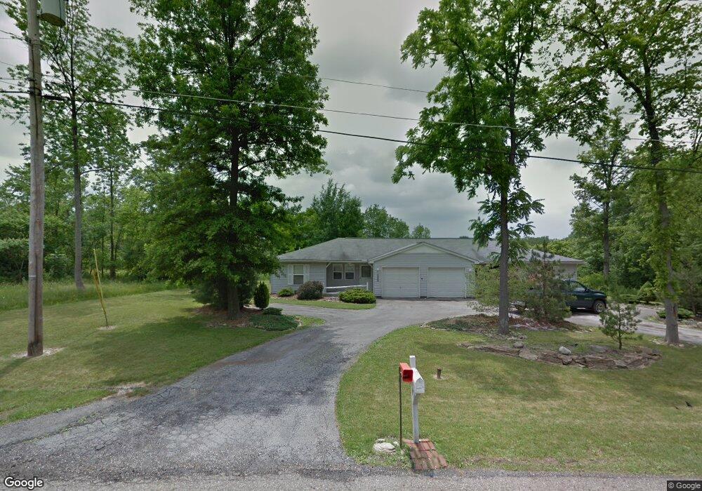
4611 Walnut Trace Unit 13 Youngstown, OH 44515
Austintown NeighborhoodEstimated Value: $196,000 - $251,750
4
Beds
2
Baths
1,944
Sq Ft
$114/Sq Ft
Est. Value
About This Home
This home is located at 4611 Walnut Trace Unit 13, Youngstown, OH 44515 and is currently estimated at $220,688, approximately $113 per square foot. 4611 Walnut Trace Unit 13 is a home located in Mahoning County with nearby schools including Austintown Elementary School, Austintown Intermediate School, and Austintown Middle School.
Ownership History
Date
Name
Owned For
Owner Type
Purchase Details
Closed on
Apr 12, 2021
Sold by
Mastopietro Anthony
Bought by
Ellis Lisa R
Current Estimated Value
Home Financials for this Owner
Home Financials are based on the most recent Mortgage that was taken out on this home.
Original Mortgage
$128,250
Outstanding Balance
$114,586
Interest Rate
2.9%
Mortgage Type
New Conventional
Estimated Equity
$106,102
Purchase Details
Closed on
Dec 2, 1993
Bought by
Mastropietro Barbara
Create a Home Valuation Report for This Property
The Home Valuation Report is an in-depth analysis detailing your home's value as well as a comparison with similar homes in the area
Home Values in the Area
Average Home Value in this Area
Purchase History
| Date | Buyer | Sale Price | Title Company |
|---|---|---|---|
| Ellis Lisa R | $171,000 | None Available | |
| Ellis Lisa R | $9,000 | None Available | |
| Mastropietro Barbara | -- | -- |
Source: Public Records
Mortgage History
| Date | Status | Borrower | Loan Amount |
|---|---|---|---|
| Open | Ellis Lisa R | $128,250 |
Source: Public Records
Tax History
| Year | Tax Paid | Tax Assessment Tax Assessment Total Assessment is a certain percentage of the fair market value that is determined by local assessors to be the total taxable value of land and additions on the property. | Land | Improvement |
|---|---|---|---|---|
| 2025 | $3,237 | $66,030 | $11,220 | $54,810 |
| 2024 | $3,093 | $66,030 | $11,220 | $54,810 |
| 2023 | $3,046 | $66,030 | $11,220 | $54,810 |
| 2022 | $3,266 | $56,730 | $11,220 | $45,510 |
| 2021 | $3,268 | $56,730 | $11,220 | $45,510 |
| 2020 | $3,282 | $56,730 | $11,220 | $45,510 |
| 2019 | $3,080 | $48,520 | $11,220 | $37,300 |
| 2018 | $2,969 | $48,520 | $11,220 | $37,300 |
| 2017 | $2,966 | $48,520 | $11,220 | $37,300 |
| 2016 | $2,927 | $47,420 | $11,220 | $36,200 |
| 2015 | $2,840 | $47,420 | $11,220 | $36,200 |
| 2014 | $2,854 | $47,420 | $11,220 | $36,200 |
| 2013 | $2,826 | $47,420 | $11,220 | $36,200 |
Source: Public Records
Map
Nearby Homes
- 4771 E Webb Rd
- 2003 E County Line Rd Unit 2003
- 5089 Winslow Dr
- 1239 Woodledge Dr
- 527 N Raccoon Rd
- 1760 Dumont Dr
- 4154 Belle Ave
- 1085 Beaver Dr
- 3727 Riblett Rd
- 2555 Walnut St
- 2625 Elm Dr
- 3723 Karen Dr
- 2563 Chestnut St
- 262 Idlewood Rd
- 2521 Beech St
- 155 N Beverly Ave
- 97 Idlewood Rd
- 3872 Main St
- 0 Norquest Blvd Unit 5175953
- 0 Norquest Blvd Unit 5175593
- 4606 Walnut Trace
- 4626 Walnut Trace
- 4623 Walnut Trace
- 1164 N Four Mile Run Rd
- 1148 N Four Mile Run Rd
- 1180 N Four Mile Run Rd
- 4640 Walnut Trace
- 1188 N Four Mile Run Rd
- 4635 Walnut Trace
- 1196 N Four Mile Run Rd
- 4650 Walnut Trace
- 1163 N Four Mile
- 1163 Four Mile
- 4643 Walnut Trace
- 1163 N Four Mile Run Rd
- 4653 Walnut Trace
- 1171 N Four Mile Run Rd
- 1204 N Four Mile Run Rd
- 1179 N Four Mile Run Rd
- 1147 N Four Mile Run Rd
Your Personal Tour Guide
Ask me questions while you tour the home.