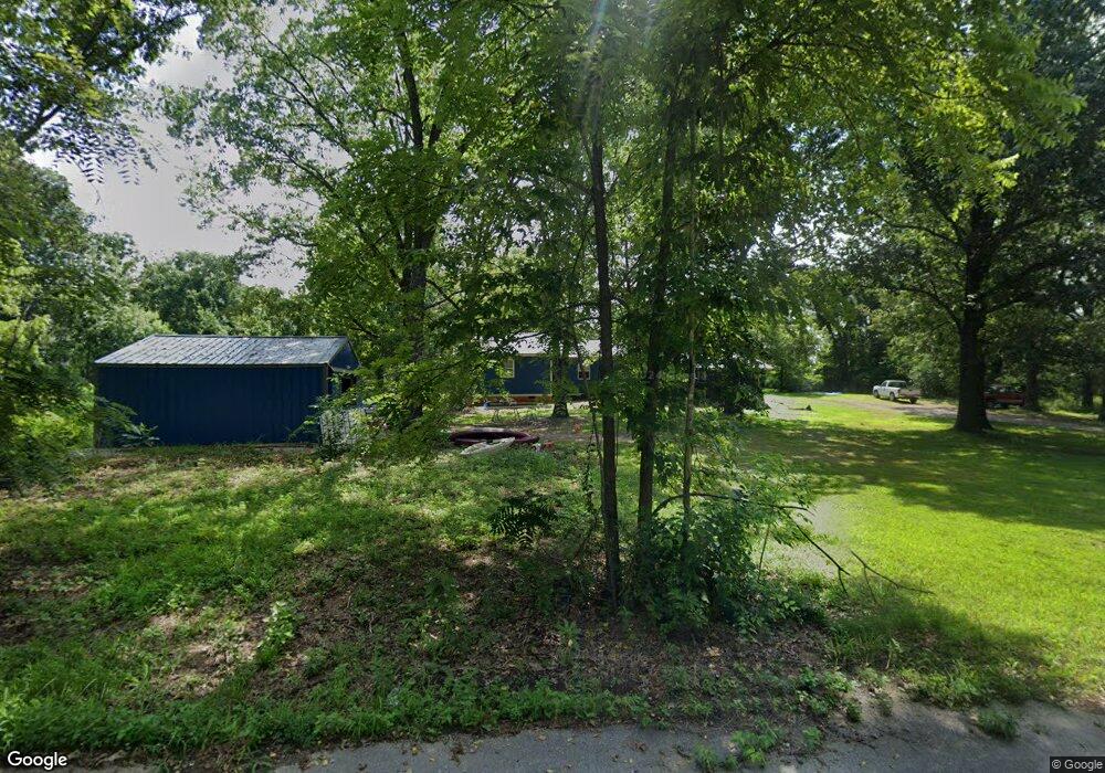
4612 Baxter St West Plains, MO 65775
Estimated Value: $126,282 - $349,000
--
Bed
--
Bath
1,200
Sq Ft
$219/Sq Ft
Est. Value
About This Home
This home is located at 4612 Baxter St, West Plains, MO 65775 and is currently estimated at $262,821, approximately $219 per square foot. 4612 Baxter St is a home.
Ownership History
Date
Name
Owned For
Owner Type
Purchase Details
Closed on
Mar 5, 2007
Sold by
Nationstar Mortgage Llc
Bought by
Melvin Russell P and Melvin Holly L
Current Estimated Value
Home Financials for this Owner
Home Financials are based on the most recent Mortgage that was taken out on this home.
Original Mortgage
$67,750
Outstanding Balance
$41,098
Interest Rate
6.3%
Mortgage Type
New Conventional
Estimated Equity
$221,723
Purchase Details
Closed on
Jan 5, 2007
Sold by
Wasylina John P and Wasylina Carroll
Bought by
Nationstar Mortgage Llc
Home Financials for this Owner
Home Financials are based on the most recent Mortgage that was taken out on this home.
Original Mortgage
$67,750
Outstanding Balance
$41,098
Interest Rate
6.3%
Mortgage Type
New Conventional
Estimated Equity
$221,723
Create a Home Valuation Report for This Property
The Home Valuation Report is an in-depth analysis detailing your home's value as well as a comparison with similar homes in the area
Home Values in the Area
Average Home Value in this Area
Purchase History
| Date | Buyer | Sale Price | Title Company |
|---|---|---|---|
| Melvin Russell P | -- | None Available | |
| Nationstar Mortgage Llc | $52,461 | None Available |
Source: Public Records
Mortgage History
| Date | Status | Borrower | Loan Amount |
|---|---|---|---|
| Open | Melvin Russell P | $67,750 |
Source: Public Records
Tax History Compared to Growth
Tax History
| Year | Tax Paid | Tax Assessment Tax Assessment Total Assessment is a certain percentage of the fair market value that is determined by local assessors to be the total taxable value of land and additions on the property. | Land | Improvement |
|---|---|---|---|---|
| 2025 | $513 | $15,890 | $3,070 | $12,820 |
| 2024 | $513 | $14,190 | -- | -- |
| 2023 | $513 | $14,190 | $0 | $0 |
| 2022 | $488 | $13,510 | $0 | $0 |
| 2021 | $440 | $13,510 | $0 | $0 |
| 2020 | $440 | $12,130 | $0 | $0 |
| 2019 | $452 | $11,800 | $0 | $0 |
| 2018 | $452 | $11,800 | $0 | $0 |
| 2017 | $452 | $11,800 | $0 | $0 |
| 2015 | -- | $11,260 | $0 | $0 |
| 2014 | -- | $11,260 | $0 | $0 |
| 2013 | -- | $11,260 | $0 | $0 |
Source: Public Records
Map
Nearby Homes
- 3440 N Us Highway 63
- 4499 County Road 4300
- 000 Lot 2 Block 13 Morrison Sub
- 000 County Road 4290
- 000 Lot 4 Block 13 Morrison Sub
- 3002 Ginger Dr
- 000 Rhonda Dr
- 7230 Private Road 1830
- 000 Ginger Dr
- 2704 Jennifer Dr
- 2823 Laurie Ave
- 2821 Christie Dr
- 2701 Paula Dr
- 2707 Ridgewood Dr
- 000 Lot 3 Block 13 Morrison Sub
- 2818 Christie Dr
- 5562 Private Road 2023
- 000 Lot 2 Block 12 Morrison Sub
- 2321 Alley Springs Dr
- 2405 Deatherage Ave
- 3235 Ozark St
- 3549 Baxter St
- 3549 Baxter St
- 3549 Baxter St
- 4630 Baxter St
- 4629 Baxter St
- 3307 Ozark St
- 4628 Doe Run
- 4628 Doe Run
- 4640 Baxter St
- TBD County Road 4420
- 0 County Road 4420
- 000 County Road 4420
- 4636 Doe Run
- 4644 Doe Run
- 4609 Marianna Dr
- 4646 Doe Run
- 4689 Doe Run
- 4681 Doe Run
- 4615 Marianna Dr