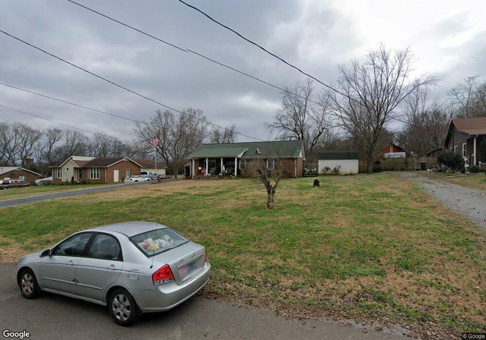
4612 Mandy Ln Murfreesboro, TN 37129
Estimated Value: $307,236 - $387,000
--
Bed
2
Baths
1,250
Sq Ft
$274/Sq Ft
Est. Value
About This Home
This home is located at 4612 Mandy Ln, Murfreesboro, TN 37129 and is currently estimated at $342,059, approximately $273 per square foot. 4612 Mandy Ln is a home located in Rutherford County with nearby schools including Walter Hill Elementary School, Siegel Middle School, and Siegel High School.
Ownership History
Date
Name
Owned For
Owner Type
Purchase Details
Closed on
Oct 4, 2002
Sold by
Lorden Sonia M
Bought by
Scott Lorden
Current Estimated Value
Purchase Details
Closed on
Feb 15, 2002
Sold by
Haas Jerry V and Haas Laura J
Bought by
Lorden Scott T
Home Financials for this Owner
Home Financials are based on the most recent Mortgage that was taken out on this home.
Original Mortgage
$77,600
Interest Rate
7.13%
Purchase Details
Closed on
May 16, 1995
Sold by
Sue Trail Bertha
Bought by
Haas Jerry V
Create a Home Valuation Report for This Property
The Home Valuation Report is an in-depth analysis detailing your home's value as well as a comparison with similar homes in the area
Home Values in the Area
Average Home Value in this Area
Purchase History
| Date | Buyer | Sale Price | Title Company |
|---|---|---|---|
| Scott Lorden | -- | -- | |
| Lorden Scott T | $97,000 | -- | |
| Haas Jerry V | $69,900 | -- |
Source: Public Records
Mortgage History
| Date | Status | Borrower | Loan Amount |
|---|---|---|---|
| Previous Owner | Haas Jerry V | $77,600 | |
| Previous Owner | Haas Jerry V | $19,400 |
Source: Public Records
Tax History Compared to Growth
Tax History
| Year | Tax Paid | Tax Assessment Tax Assessment Total Assessment is a certain percentage of the fair market value that is determined by local assessors to be the total taxable value of land and additions on the property. | Land | Improvement |
|---|---|---|---|---|
| 2025 | $1,224 | $65,250 | $13,750 | $51,500 |
| 2024 | $1,224 | $65,250 | $13,750 | $51,500 |
| 2023 | $1,224 | $65,250 | $13,750 | $51,500 |
| 2022 | $1,016 | $62,875 | $13,750 | $49,125 |
| 2021 | $868 | $39,125 | $8,125 | $31,000 |
| 2020 | $868 | $39,125 | $8,125 | $31,000 |
| 2019 | $868 | $39,125 | $8,125 | $31,000 |
| 2018 | $821 | $39,125 | $0 | $0 |
| 2017 | $811 | $30,250 | $0 | $0 |
| 2016 | $811 | $30,250 | $0 | $0 |
| 2015 | $811 | $30,250 | $0 | $0 |
| 2014 | $752 | $30,250 | $0 | $0 |
| 2013 | -- | $27,975 | $0 | $0 |
Source: Public Records
Map
Nearby Homes
- 6464 Lebanon Rd
- 802 Ronald Dr
- 6439 Wade Springs Rd
- 0 Holly Grove Rd Unit RTC2292369
- 1334 Davy Crockett Dr
- 1317 Sam Houston Ave
- 5209 Ticonderoga Ave
- 5142 Reagan Dr
- 365 Royal Garden Dr
- 5107 General Eisenhower Dr
- 5028 General Eisenhower Dr
- 1426 Alamo Ave
- 336 Royal Garden Dr
- 8988 Big Oak Dr
- 5036 Republic Ave
- 5017 Republic Ave
- 5024 Republic Ave
- 5039 Macarthur Ave
- 0 Swamp Leanna Rd
- 5030 General Yeager Dr