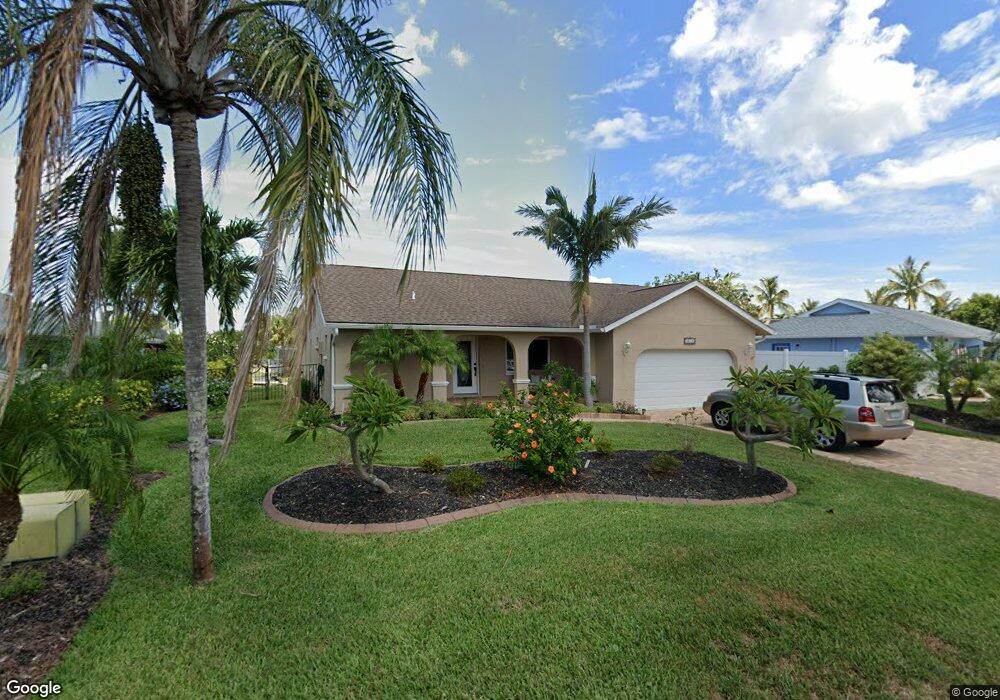
4612 Mangrove Point Rd Bradenton, FL 34210
Estimated Value: $804,000 - $972,000
3
Beds
2
Baths
3,172
Sq Ft
$269/Sq Ft
Est. Value
About This Home
This home is located at 4612 Mangrove Point Rd, Bradenton, FL 34210 and is currently estimated at $853,719, approximately $269 per square foot. 4612 Mangrove Point Rd is a home located in Manatee County with nearby schools including Sea Breeze Elementary School, W. D. Sugg Middle School, and Bayshore High School.
Ownership History
Date
Name
Owned For
Owner Type
Purchase Details
Closed on
Oct 10, 2014
Sold by
Roy Gary D and Roy Jackie L
Bought by
Watson William C and Watson Judy K
Current Estimated Value
Home Financials for this Owner
Home Financials are based on the most recent Mortgage that was taken out on this home.
Original Mortgage
$105,000
Outstanding Balance
$80,705
Interest Rate
4.17%
Mortgage Type
New Conventional
Estimated Equity
$773,014
Purchase Details
Closed on
Jun 23, 2009
Sold by
Kubasinski Marion M and The Kubasinski Realty Trust
Bought by
Roy Gary D and Roy Jackie L
Home Financials for this Owner
Home Financials are based on the most recent Mortgage that was taken out on this home.
Original Mortgage
$231,200
Interest Rate
4.79%
Mortgage Type
Purchase Money Mortgage
Create a Home Valuation Report for This Property
The Home Valuation Report is an in-depth analysis detailing your home's value as well as a comparison with similar homes in the area
Home Values in the Area
Average Home Value in this Area
Purchase History
| Date | Buyer | Sale Price | Title Company |
|---|---|---|---|
| Watson William C | $391,500 | First Intl Title Inc | |
| Roy Gary D | $289,000 | Hoy Title Services Inc |
Source: Public Records
Mortgage History
| Date | Status | Borrower | Loan Amount |
|---|---|---|---|
| Open | Watson William C | $105,000 | |
| Previous Owner | Roy Gary D | $231,200 |
Source: Public Records
Tax History
| Year | Tax Paid | Tax Assessment Tax Assessment Total Assessment is a certain percentage of the fair market value that is determined by local assessors to be the total taxable value of land and additions on the property. | Land | Improvement |
|---|---|---|---|---|
| 2025 | $2,841 | $441,583 | -- | -- |
| 2023 | $5,622 | $416,639 | $0 | $0 |
| 2022 | $5,485 | $404,504 | $0 | $0 |
| 2021 | $5,277 | $392,722 | $0 | $0 |
| 2020 | $5,447 | $387,300 | $0 | $0 |
| 2019 | $5,373 | $378,592 | $0 | $0 |
| 2018 | $5,336 | $371,533 | $0 | $0 |
| 2017 | $4,965 | $363,891 | $0 | $0 |
| 2016 | $4,964 | $356,406 | $0 | $0 |
Source: Public Records
Map
Nearby Homes
- 4612 Coral Lake Dr
- 4515 Mangrove Point Rd
- 4916 Coral Blvd
- 5004 Coral Lake Dr
- 4419 Mangrove Point Rd
- 5011 Mangrove Point Rd
- 4503 Coral Lake Dr
- 4532 Bimini Dr
- 9207 Bimini Dr
- 8808 44th Avenue Dr W
- 4424 87th Street Ct W
- 4515 Mount Vernon Dr
- 4523 86th Street Ct W
- 8711 51st Ave W
- 5207 Bimini Dr
- 9412 Concord Cir
- 4852 Independence Dr Unit 4852
- 5219 Bimini Dr
- 4868 Independence Dr Unit 4868
- 9421 Andover Cir
- 4608 Mangrove Point Rd
- 4616 Mangrove Point Rd
- 4615 Mangrove Point Rd
- 4604 Mangrove Point Rd
- 4704 Mangrove Point Rd
- 4611 Mangrove Point Rd
- 4703 Mangrove Point Rd
- 4535 Nassau Rd
- 4531 Nassau Rd
- 4708 Mangrove Point Rd
- 4532 Mangrove Point Rd
- 4603 Mangrove Point Rd
- 4707 Mangrove Point Rd
- 4532 Nassau Rd
- 4712 Mangrove Point Rd
- 4529 Nassau Rd
- 4528 Mangrove Point Rd
- 4531 Mangrove Point Rd
- 4804 Mangrove Point Rd
- 4528 Nassau Rd
Your Personal Tour Guide
Ask me questions while you tour the home.