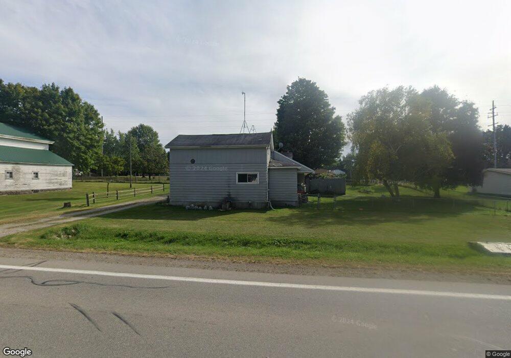
4619 Caro Rd Vassar, MI 48768
Estimated Value: $266,000 - $289,000
About This Home
This home is located at 4619 Caro Rd, Vassar, MI 48768 and is currently estimated at $273,472, approximately $93 per square foot. 4619 Caro Rd is a home located in Tuscola County with nearby schools including McComb Elementary School, Schall Elementary School, and Caro Middle School.
Ownership History
We collect this data history from publicly available records. To have your information removed, we recommend requesting removal directly through your county’s website.
Purchase Details
Purchase Details
Purchase Details
Purchase History
We collect this data history from publicly available records. To have your information removed, we recommend requesting removal directly through your county’s website.
| Date | Buyer | Sale Price | Title Company |
|---|---|---|---|
| -- | None Available | ||
| -- | None Available | ||
| $30,500 | None Available |
Mortgage History
We collect this data history from publicly available records. To have your information removed, we recommend requesting removal directly through your county’s website.
| Date | Status | Borrower | Loan Amount |
|---|---|---|---|
| Closed | $40,550 | ||
| Closed | $38,578 |
Tax History
We collect this data history from publicly available records. To have your information removed, we recommend requesting removal directly through your county’s website.
| Year | Tax Paid | Tax Assessment Tax Assessment Total Assessment is a certain percentage of the fair market value that is determined by local assessors to be the total taxable value of land and additions on the property. | Land | Improvement |
|---|---|---|---|---|
| 2026 | $1,908 | $139,000 | $0 | $0 |
| 2025 | $540 | $141,300 | $0 | $0 |
| 2024 | $1,588 | $123,900 | $0 | $0 |
| 2023 | $1,703 | $91,600 | $0 | $0 |
| 2022 | $1,619 | $71,100 | $0 | $0 |
| 2021 | $1,573 | $62,700 | $0 | $0 |
| 2020 | $1,549 | $54,100 | $0 | $0 |
| 2019 | $1,523 | $57,800 | $0 | $0 |
| 2018 | $1,392 | $48,400 | $0 | $0 |
| 2017 | $1,361 | $49,400 | $0 | $0 |
| 2016 | $1,335 | $46,900 | $0 | $0 |
| 2015 | $7 | $42,000 | $0 | $0 |
| 2014 | $7 | $44,400 | $0 | $0 |
| 2013 | $7 | $43,700 | $0 | $0 |
Map
- 4707 Dixon Rd
- 3926 Ball Rd
- 2769 Higgins Rd
- 3850 Densmore Rd
- 2080 S Sheridan Rd
- 2248 Vickory Rd
- 6161 W Caro Rd
- 3540 Washburn Rd
- 7688 Wilder Rd
- 2234 W Caro Rd
- 4364 S Kirk Rd
- 7991 W Dixon Rd
- 4490 Obrien Rd
- 1920 Circle Dr
- 5062 McLuney St
- 4482 S Kirk Rd
- 2095 Liberty St
- 7844 W Gilford Rd
- 7974 W Gilford Rd
- VL Alexander Ln
Ask me questions while you tour the home.