462 W Columbine Rd Payson, AZ 85541
Estimated Value: $412,465 - $939,000
--
Bed
--
Bath
1,362
Sq Ft
$443/Sq Ft
Est. Value
About This Home
This home is located at 462 W Columbine Rd, Payson, AZ 85541 and is currently estimated at $603,866, approximately $443 per square foot. 462 W Columbine Rd is a home located in Gila County with nearby schools including Julia Randall Elementary School, Payson Elementary School, and Rim Country Middle School.
Ownership History
Date
Name
Owned For
Owner Type
Purchase Details
Closed on
Jan 4, 2017
Sold by
Andersen Darl J and Andersen Kaye L
Bought by
Andersen Jon K and Andersen Jeffremy M
Current Estimated Value
Purchase Details
Closed on
Jan 3, 2017
Sold by
La Familia Management Lllp
Bought by
Andersen Darl J and Andersen Kaye L
Purchase Details
Closed on
Nov 11, 2009
Sold by
Jh6 Properties Lllp
Bought by
La Familia Management Lllp
Purchase Details
Closed on
Dec 19, 2006
Sold by
Layton Keith N
Bought by
Jh6 Properties Lllp
Create a Home Valuation Report for This Property
The Home Valuation Report is an in-depth analysis detailing your home's value as well as a comparison with similar homes in the area
Home Values in the Area
Average Home Value in this Area
Purchase History
| Date | Buyer | Sale Price | Title Company |
|---|---|---|---|
| Andersen Jon K | -- | None Available | |
| Andersen Darl J | -- | None Available | |
| La Familia Management Lllp | $292,000 | Pioneer Title Agency | |
| Jh6 Properties Lllp | -- | None Available |
Source: Public Records
Tax History Compared to Growth
Tax History
| Year | Tax Paid | Tax Assessment Tax Assessment Total Assessment is a certain percentage of the fair market value that is determined by local assessors to be the total taxable value of land and additions on the property. | Land | Improvement |
|---|---|---|---|---|
| 2025 | $2,628 | -- | -- | -- |
| 2024 | $2,628 | $30,199 | $8,258 | $21,941 |
| 2023 | $2,628 | $18,806 | $8,538 | $10,268 |
| 2022 | $2,600 | $18,521 | $8,538 | $9,983 |
| 2021 | $2,610 | $18,521 | $8,538 | $9,983 |
| 2020 | $2,623 | $0 | $0 | $0 |
| 2019 | $2,516 | $0 | $0 | $0 |
| 2018 | $2,572 | $0 | $0 | $0 |
| 2017 | $2,446 | $0 | $0 | $0 |
| 2016 | $2,469 | $0 | $0 | $0 |
| 2015 | $2,591 | $0 | $0 | $0 |
Source: Public Records
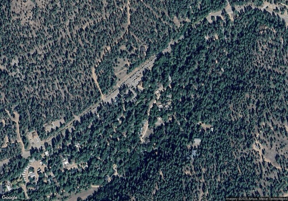
Map
Nearby Homes
- 286 W Columbine Rd
- 1065 Christopher Creek Loop
- 136 S Hunter Creek Dr
- 1389 E Christopher Creek Loop
- 266 W Uphill Dr
- 144 S Hunter Creek Dr Unit 144
- 195 N Juniper Way
- 269 W Homestead Ln
- 5304 N Bear Flat Rd
- 444 S Buenagua Rd
- 408 S Buenagua Rd
- 193 E Saddle Mountain Rd
- 1103 E Ranch Rd
- 370 N Coyote Trail
- 690 N Tonto Rim Loop
- 247 Standage Dr
- 512 W Standage Dr
- 192 N Tonto Trail
- 254 S Blackfoot Rd
- 530 S Cienega Rd
- 476 W Columbine Rd
- 436 W Columbine Rd
- 426 W Columbine Rd
- 137 W Ashby Apple Dr
- 455 W Columbine Rd
- 1151 E Christopher Creek Loop
- 443 W Columbine Rd
- 134 E Acorn Ln
- 161 W Ashby Apple Dr
- 512 W Columbine Rd
- 414 W Columbine Rd
- 435 W Columbine Rd
- 163 W Ashby Apple Dr
- 164 E Acorn Ln
- 140 W Ashby Apple Dr
- 177 W Ashby Apple Dr
- 530 W Columbine Rd
- 513 W Columbine Rd
- 404 W Columbine Rd
- 1117 E Christopher Creek Loop