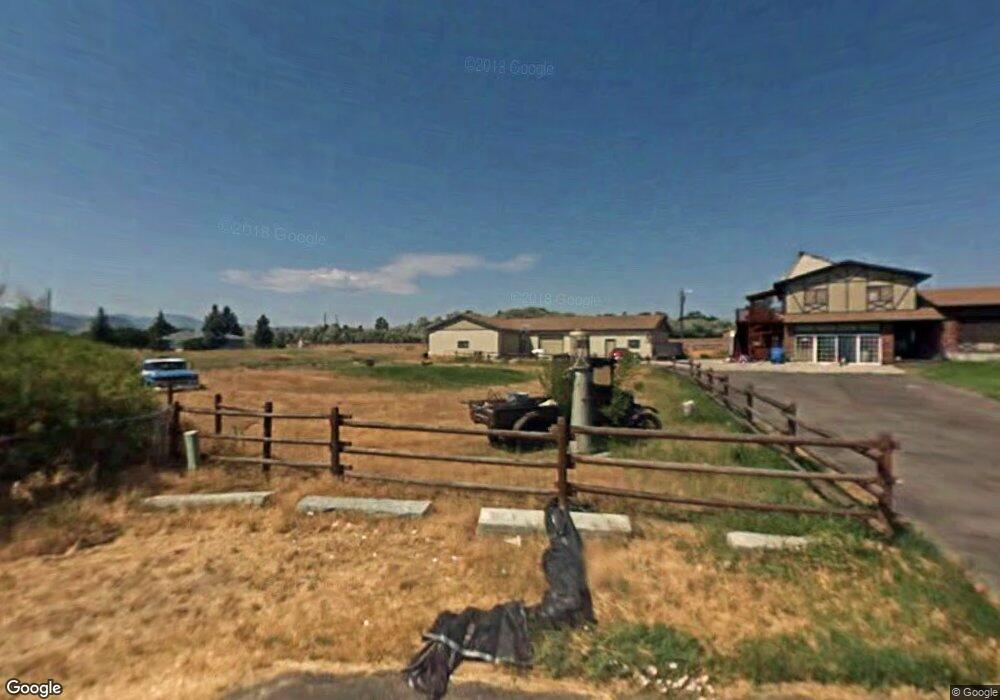
4620 Last Straw Dr Helena, MT 59602
West Helena Valley NeighborhoodEstimated Value: $620,000 - $802,000
4
Beds
2
Baths
2,311
Sq Ft
$304/Sq Ft
Est. Value
About This Home
This home is located at 4620 Last Straw Dr, Helena, MT 59602 and is currently estimated at $703,109, approximately $304 per square foot. 4620 Last Straw Dr is a home located in Lewis and Clark County with nearby schools including Four Georgians Elementary School, C.R. Anderson Middle School, and Helena Christian Academy.
Ownership History
Date
Name
Owned For
Owner Type
Purchase Details
Closed on
Jun 14, 2021
Sold by
Flies Clarissa and Kennedy Clarissa
Bought by
Files Michael and Files Edward L
Current Estimated Value
Purchase Details
Closed on
Nov 1, 2007
Sold by
Flies Clarissa and Flies Michael
Bought by
Fllies Clarissa and Flies Michael
Purchase Details
Closed on
May 3, 2005
Sold by
Flies Edward L and Flies Vicki
Bought by
Flies Clarissa and Flies Michael
Home Financials for this Owner
Home Financials are based on the most recent Mortgage that was taken out on this home.
Original Mortgage
$200,000
Interest Rate
5%
Mortgage Type
Adjustable Rate Mortgage/ARM
Create a Home Valuation Report for This Property
The Home Valuation Report is an in-depth analysis detailing your home's value as well as a comparison with similar homes in the area
Home Values in the Area
Average Home Value in this Area
Purchase History
| Date | Buyer | Sale Price | Title Company |
|---|---|---|---|
| Files Michael | -- | Rocky Mountain Title | |
| Fllies Clarissa | -- | Chicago Title Insurance Comp | |
| Flies Clarissa | -- | Chicago Title Insurance Comp |
Source: Public Records
Mortgage History
| Date | Status | Borrower | Loan Amount |
|---|---|---|---|
| Previous Owner | Flies Clarissa | $200,000 |
Source: Public Records
Tax History Compared to Growth
Tax History
| Year | Tax Paid | Tax Assessment Tax Assessment Total Assessment is a certain percentage of the fair market value that is determined by local assessors to be the total taxable value of land and additions on the property. | Land | Improvement |
|---|---|---|---|---|
| 2025 | $3,682 | $688,700 | $0 | $0 |
| 2024 | $4,215 | $513,100 | $0 | $0 |
| 2023 | $4,246 | $513,100 | $0 | $0 |
| 2022 | $3,723 | $381,600 | $0 | $0 |
| 2021 | $3,648 | $381,600 | $0 | $0 |
| 2020 | $2,997 | $300,500 | $0 | $0 |
| 2019 | $3,021 | $300,500 | $0 | $0 |
| 2018 | $3,016 | $296,700 | $0 | $0 |
| 2017 | $2,554 | $296,700 | $0 | $0 |
| 2016 | $2,620 | $290,400 | $0 | $0 |
| 2015 | $2,554 | $290,400 | $0 | $0 |
| 2014 | $2,436 | $151,845 | $0 | $0 |
Source: Public Records
Map
Nearby Homes
- 4015 Green Meadow Dr
- 5141 Crescent Moon Dr
- 315 Franklin Mine Rd
- 322 Andesite Ave Unit A and B
- 630 Stadler Rd
- 5420 Robin Dr
- 5726 Shannon Ct
- 1040 Phillips Rd
- 1030 Motsiff Rd
- 397 Sierra Rd W
- 4324 N Montana Ave
- 102 Reed Ave
- 310 Barney St Unit B
- 340 Barney St Unit A
- 350 Barney St Unit A
- 360 Barney St Unit C
- 3293 Arbor Dr
- 4155 Homestake Dr
- 201 Northgate Loop
- 885 Amethyst Ave
- 4580 Last Straw Dr
- 4420 Last Straw Dr
- 4680 Last Straw Dr
- 4480 Last Straw Dr
- 4780 Last Straw Dr
- 4460 Last Straw Dr
- 4440 Last Straw Dr
- 4520 Last Straw Dr
- 4655 Paydirt Dr
- 175 Franklin Mine Rd
- 49 Franklin Mine Rd
- 178 Franklin Mine Rd
- 35 Franklin Mine Rd
- 4521 Paydirt Dr
- 4800 Green Meadow Dr
- 80 Alfalfa Rd
- 4471 Last Straw Dr
- 4560 Green Meadow Dr
- 285 Franklin Mine Rd
- 88 Alfalfa Rd