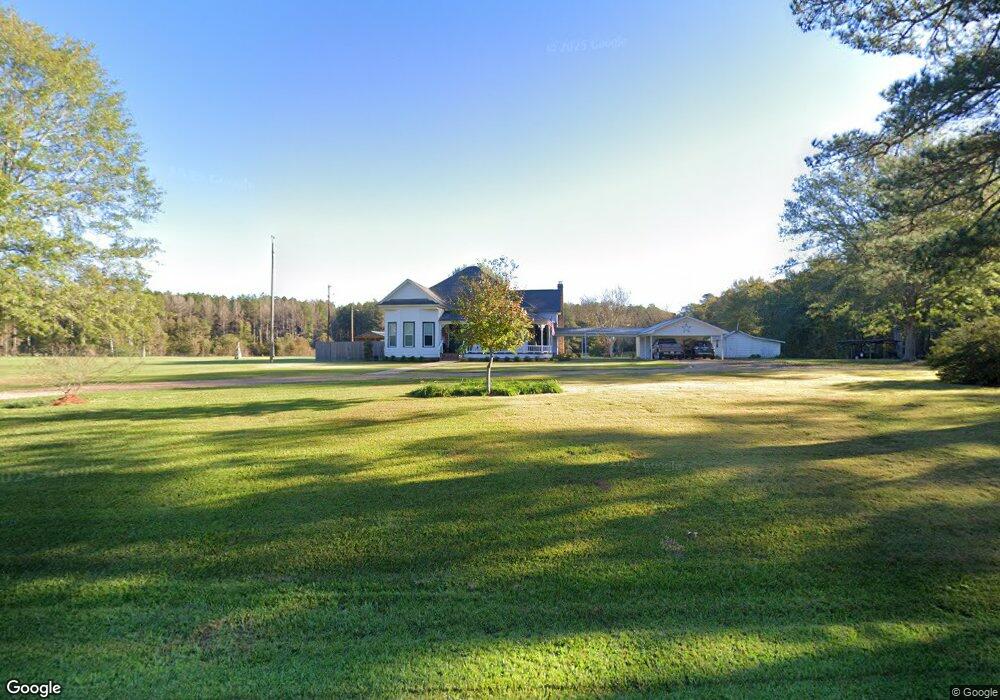
4621 Highway 18 Brandon, MS 39042
Estimated Value: $214,000
2
Beds
1
Bath
2,016
Sq Ft
$106/Sq Ft
Est. Value
About This Home
This home is located at 4621 Highway 18, Brandon, MS 39042 and is currently estimated at $214,000, approximately $106 per square foot. 4621 Highway 18 is a home located in Rankin County with nearby schools including McLaurin Elementary School.
Ownership History
Date
Name
Owned For
Owner Type
Purchase Details
Closed on
May 13, 2022
Sold by
Swilley William J
Bought by
Rivers Willie S
Current Estimated Value
Purchase Details
Closed on
Jul 6, 2018
Sold by
Karon Carter Frazier
Bought by
Reed Susan and Reed Edwin
Home Financials for this Owner
Home Financials are based on the most recent Mortgage that was taken out on this home.
Original Mortgage
$172,900
Interest Rate
4.52%
Purchase Details
Closed on
Aug 2, 2012
Sold by
May Charles A and Swilley William J
Bought by
Swilley William J
Create a Home Valuation Report for This Property
The Home Valuation Report is an in-depth analysis detailing your home's value as well as a comparison with similar homes in the area
Purchase History
| Date | Buyer | Sale Price | Title Company |
|---|---|---|---|
| Rivers Willie S | -- | None Listed On Document | |
| Reed Susan | $10 | -- | |
| Swilley William J | -- | -- |
Source: Public Records
Mortgage History
| Date | Status | Borrower | Loan Amount |
|---|---|---|---|
| Previous Owner | Reed Susan | $172,900 | |
| Previous Owner | Reed Susan | -- |
Source: Public Records
Tax History
| Year | Tax Paid | Tax Assessment Tax Assessment Total Assessment is a certain percentage of the fair market value that is determined by local assessors to be the total taxable value of land and additions on the property. | Land | Improvement |
|---|---|---|---|---|
| 2025 | $197 | $1,956 | $0 | $0 |
| 2024 | $193 | $1,956 | $0 | $0 |
| 2023 | $178 | $1,766 | $0 | $0 |
| 2022 | $558 | $5,684 | $0 | $0 |
| 2021 | $508 | $5,214 | $0 | $0 |
| 2020 | $517 | $5,297 | $0 | $0 |
| 2019 | $529 | $5,338 | $0 | $0 |
| 2018 | $525 | $5,338 | $0 | $0 |
| 2017 | $540 | $5,460 | $0 | $0 |
| 2016 | $507 | $5,394 | $0 | $0 |
| 2015 | $479 | $5,134 | $0 | $0 |
| 2014 | $454 | $4,980 | $0 | $0 |
| 2013 | $442 | $4,847 | $0 | $0 |
Source: Public Records
Map
Nearby Homes
- 128 Oak Tree Ln
- 1100 Rock Hill Rd
- 1105 Rock Hill Rd
- 1264 Shell Oil Rd
- 4167 Highway 18
- 0 Easy St
- 4016 Highway 18
- 00 Johns Shiloh Rd
- Johns Shilow Rd
- J05 Red Light Rd
- 00 Ashley Rd
- 0 Ashley Rd Unit 20288528
- 0 Saint John Rd Unit 4140000
- 0 Joe Davis Dr
- 0 Bill Hubbard Rd Unit 26421084
- 0 Bill Hubbard Rd
- 308 Stronghold Dr
- 217 New Haven Ln
- 0 Donna Ashley St
- 310 Stronghold Dr
- 4644 Highway 18
- 4650 Highway 18
- 4650 Highway 18
- 4657 Highway 18
- 4657 Hwy 18
- 4664 Highway 18
- 124 Oak Tree Ln
- 4672 Highway 18
- 0 Oak Tree Ln
- 4671 Highway 18
- 138 Oak Tree Ln
- 4541 Highway 18
- 137 Grace Ln
- 139 Grace Ln
- 225 Oak Tree Ln
- 125 Clifton Rd
- 154 Axley Dr
- 154 Oak Tree Ln
- 4527 Highway 18
- 196 Grace Ln
Your Personal Tour Guide
Ask me questions while you tour the home.