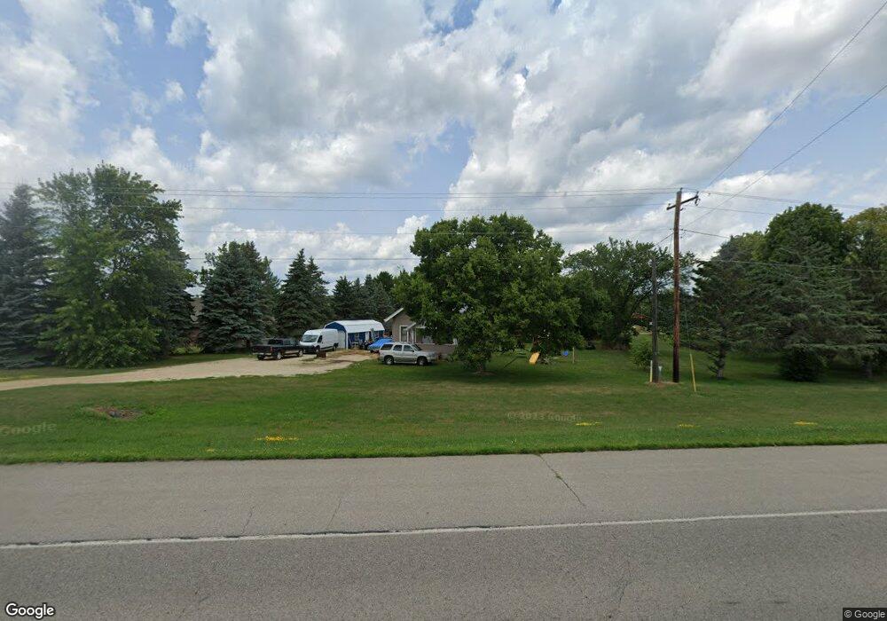
4622 Highway 61 N Red Wing, MN 55066
Estimated Value: $220,219 - $295,000
3
Beds
1
Bath
1,330
Sq Ft
$193/Sq Ft
Est. Value
About This Home
This home is located at 4622 Highway 61 N, Red Wing, MN 55066 and is currently estimated at $256,305, approximately $192 per square foot. 4622 Highway 61 N is a home located in Goodhue County with nearby schools including Burnside Elementary School, Sunnyside Elementary School, and Twin Bluff Middle School.
Ownership History
Date
Name
Owned For
Owner Type
Purchase Details
Closed on
Aug 25, 2008
Sold by
Federal National Mortgage Association
Bought by
Roopprason Baby A and Rodriguez Bladimir E
Current Estimated Value
Purchase Details
Closed on
May 31, 2002
Sold by
Seccombe Richard S and Seccombe Mira C
Bought by
Cunanan Christopher and Cunanan Melanie
Create a Home Valuation Report for This Property
The Home Valuation Report is an in-depth analysis detailing your home's value as well as a comparison with similar homes in the area
Home Values in the Area
Average Home Value in this Area
Purchase History
| Date | Buyer | Sale Price | Title Company |
|---|---|---|---|
| Roopprason Baby A | $124,000 | -- | |
| Cunanan Christopher | $111,000 | -- |
Source: Public Records
Tax History Compared to Growth
Tax History
| Year | Tax Paid | Tax Assessment Tax Assessment Total Assessment is a certain percentage of the fair market value that is determined by local assessors to be the total taxable value of land and additions on the property. | Land | Improvement |
|---|---|---|---|---|
| 2025 | $2,032 | $178,700 | $64,300 | $114,400 |
| 2024 | $2,032 | $176,600 | $64,300 | $112,300 |
| 2023 | $1,052 | $169,200 | $64,300 | $104,900 |
| 2022 | $1,938 | $168,200 | $64,100 | $104,100 |
| 2021 | $1,786 | $149,800 | $64,100 | $85,700 |
| 2020 | $1,804 | $141,400 | $64,100 | $77,300 |
| 2019 | $1,788 | $134,600 | $64,100 | $70,500 |
| 2018 | $1,462 | $135,000 | $64,100 | $70,900 |
| 2017 | $1,432 | $122,300 | $62,700 | $59,600 |
| 2016 | $1,316 | $121,500 | $62,700 | $58,800 |
| 2015 | $1,280 | $118,100 | $62,700 | $55,400 |
| 2014 | -- | $119,600 | $62,700 | $56,900 |
Source: Public Records
Map
Nearby Homes
- 135 Kingswood Dr
- 808 Aurora Cir
- 980 Aurora Cir
- 853 Aurora Cir
- 936 Aurora Cir
- 4739 Big Sky Ct
- 912 Aurora Cir
- 232 Fern Ave
- 4786 Mount Hood Ln
- 240 Motel Ave
- 906 Snowbird Dr
- 910 Snowbird Dr
- 132 Motel Ave
- 921 Snowbird Dr
- 914 Snowbird Dr
- 237 Motel Ave
- 4336 Lookout Ln
- 4958 Chalet Ct
- 4976 Chalet Ct
- 4986 Chalet Ct
- 4538 Highway 61 W
- 251 Camp Pearson Dr
- 133 133 Kingswood-Drive-
- 174 Camp Pearson Dr
- 174 Camp Pearson Rd
- 182 Camp Pearson Dr
- 182 Camp Pearson Rd
- 119 Cannonwood Dr
- 190 Camp Pearson Dr
- 190 Camp Pearson Rd
- 196 Camp Pearson Dr
- 196 Camp Pearson Rd
- 208 Camp Pearson Dr
- 208 Camp Pearson Dr
- 208 Camp Pearson Rd
- 4526 Highway 61 W
- 125 Kingswood Dr Unit 1B
- 125 Kingswood Dr Unit 1C
- 125 Kingswood Dr Unit 2G
- 125 Kingswood Dr Unit 2D