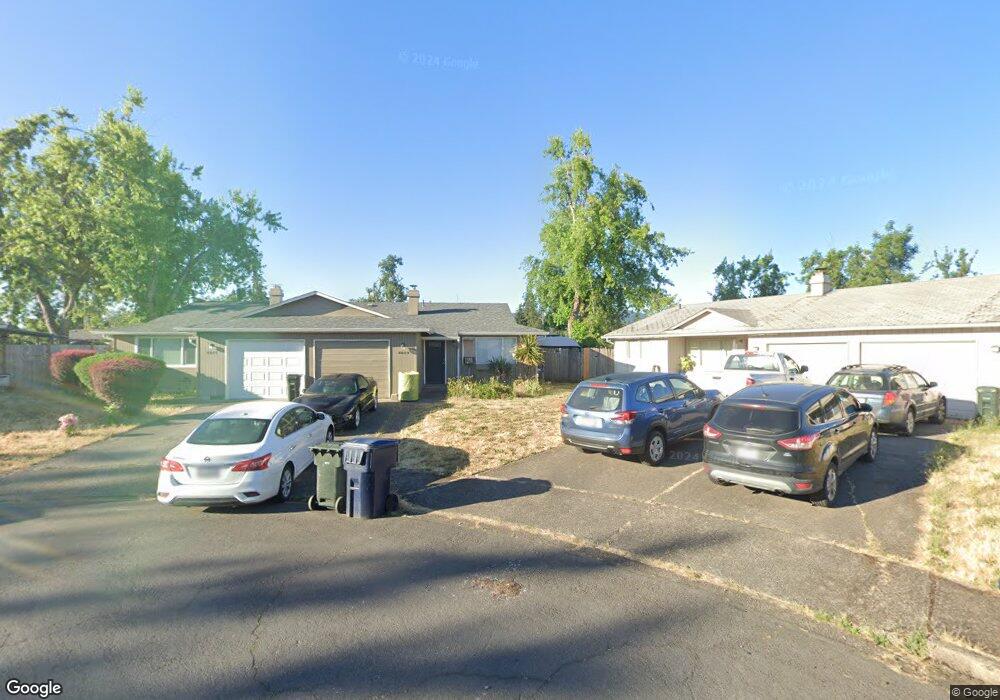
4623 Aster St Springfield, OR 97478
East Springfield NeighborhoodEstimated Value: $399,753 - $437,000
4
Beds
2
Baths
1,634
Sq Ft
$261/Sq Ft
Est. Value
About This Home
This home is located at 4623 Aster St, Springfield, OR 97478 and is currently estimated at $426,938, approximately $261 per square foot. 4623 Aster St is a home located in Lane County with nearby schools including Mt. Vernon Elementary School, Agnes Stewart Middle School, and Springfield High School.
Ownership History
Date
Name
Owned For
Owner Type
Purchase Details
Closed on
Jan 20, 2006
Sold by
Jost John M and Jost Lyn M
Bought by
Mystreet Llc
Current Estimated Value
Purchase Details
Closed on
Sep 19, 2001
Sold by
Quinn Patrick and Quinn Sheri
Bought by
Jost John M and Jost Lyn M
Home Financials for this Owner
Home Financials are based on the most recent Mortgage that was taken out on this home.
Original Mortgage
$104,000
Interest Rate
6.99%
Create a Home Valuation Report for This Property
The Home Valuation Report is an in-depth analysis detailing your home's value as well as a comparison with similar homes in the area
Home Values in the Area
Average Home Value in this Area
Purchase History
| Date | Buyer | Sale Price | Title Company |
|---|---|---|---|
| Mystreet Llc | -- | Accommodation | |
| Jost John M | $130,500 | Western Pioneer Title Co |
Source: Public Records
Mortgage History
| Date | Status | Borrower | Loan Amount |
|---|---|---|---|
| Previous Owner | Jost John M | $104,000 |
Source: Public Records
Tax History
| Year | Tax Paid | Tax Assessment Tax Assessment Total Assessment is a certain percentage of the fair market value that is determined by local assessors to be the total taxable value of land and additions on the property. | Land | Improvement |
|---|---|---|---|---|
| 2025 | $3,581 | $195,262 | -- | -- |
| 2024 | $3,523 | $189,575 | -- | -- |
| 2023 | $3,523 | $184,054 | -- | -- |
| 2022 | $3,263 | $178,694 | $0 | $0 |
| 2021 | $3,204 | $173,490 | $0 | $0 |
| 2020 | $3,110 | $168,437 | $0 | $0 |
| 2019 | $3,017 | $163,532 | $0 | $0 |
| 2018 | $2,844 | $154,145 | $0 | $0 |
| 2017 | $2,735 | $154,145 | $0 | $0 |
| 2016 | $2,677 | $149,655 | $0 | $0 |
| 2015 | $2,601 | $145,296 | $0 | $0 |
| 2014 | $2,562 | $141,064 | $0 | $0 |
Source: Public Records
Map
Nearby Homes
- 4635 Daisy St
- 4733 Union Terrace
- 4685 Glacier Meadows Loop
- 662 S 44th St
- 4853 Elderberry Loop
- 0 N St
- 4324 Forsythia St
- 4866 Beaver St
- 766 S 47th Place
- 4908 Holly St
- 934 S 46th St
- 4973 Forsythia St
- 4942 Holly St
- 1004 S 46th St
- 875 S 43rd St
- 520 S 51st Place
- 4131 Forsythia St
- The Darrington Plan at Woodland Ridge
- The Cascade Plan at Woodland Ridge
- The Harrison Plan at Woodland Ridge
- 4617 Aster St
- 4629 Aster St
- 4642 Bluebelle Way
- 4656 Bluebelle Way
- 4633 Aster St
- 282 S 47th St
- 4626 Bluebelle Way
- 4611 Aster St
- 4650 Bluebelle Way
- 4637 Aster St
- 4628 Bluebelle Way
- 289 S 46th St
- 4664 Bluebelle Way
- 4605 Aster St
- 4676 Bluebelle Way
- 4641 Aster St
- 4630 Bluebelle Way
- 274 S 47th St
- 4653 Aster St
- 4653 & 4655 Aster St