4625 Bauer Brook Ct Lawrence, KS 66049
Estimated Value: $516,000 - $1,157,325
4
Beds
4
Baths
4,127
Sq Ft
$203/Sq Ft
Est. Value
About This Home
This home is located at 4625 Bauer Brook Ct, Lawrence, KS 66049 and is currently estimated at $836,663, approximately $202 per square foot. 4625 Bauer Brook Ct is a home located in Douglas County with nearby schools including Quail Run Elementary School, West Middle School, and Lawrence Free State High School.
Ownership History
Date
Name
Owned For
Owner Type
Purchase Details
Closed on
Aug 10, 2023
Sold by
Jill R Bogard Revocable Trust
Bought by
Bogard Rentals Llc
Current Estimated Value
Purchase Details
Closed on
Apr 15, 2022
Sold by
Gale W Bogard Revocable Trust
Bought by
Long Carter
Purchase Details
Closed on
May 22, 2002
Sold by
North Folks 160 Llc
Bought by
Bogard Gale W and Bogard Jill R
Create a Home Valuation Report for This Property
The Home Valuation Report is an in-depth analysis detailing your home's value as well as a comparison with similar homes in the area
Purchase History
| Date | Buyer | Sale Price | Title Company |
|---|---|---|---|
| Bogard Rentals Llc | -- | Kansas Secured Title | |
| Long Carter | -- | None Listed On Document | |
| Long Nicholas | -- | None Listed On Document | |
| Bogard Jason T | -- | None Listed On Document | |
| Bogard Gale W | -- | Commerce Title |
Source: Public Records
Tax History
| Year | Tax Paid | Tax Assessment Tax Assessment Total Assessment is a certain percentage of the fair market value that is determined by local assessors to be the total taxable value of land and additions on the property. | Land | Improvement |
|---|---|---|---|---|
| 2025 | $16,222 | $127,857 | $30,360 | $97,497 |
| 2024 | $15,968 | $125,799 | $30,188 | $95,611 |
| 2023 | $15,357 | $117,853 | $30,188 | $87,665 |
| 2022 | $14,822 | $112,992 | $30,212 | $82,780 |
| 2021 | $13,455 | $99,970 | $30,212 | $69,758 |
| 2020 | $13,226 | $98,774 | $30,212 | $68,562 |
| 2019 | $13,009 | $97,256 | $30,212 | $67,044 |
| 2018 | $12,946 | $96,083 | $30,212 | $65,871 |
| 2017 | $12,217 | $89,677 | $30,212 | $59,465 |
| 2016 | $11,886 | $91,103 | $30,204 | $60,899 |
| 2015 | $11,379 | $87,216 | $17,259 | $69,957 |
| 2014 | $11,147 | $86,273 | $17,259 | $69,014 |
Source: Public Records
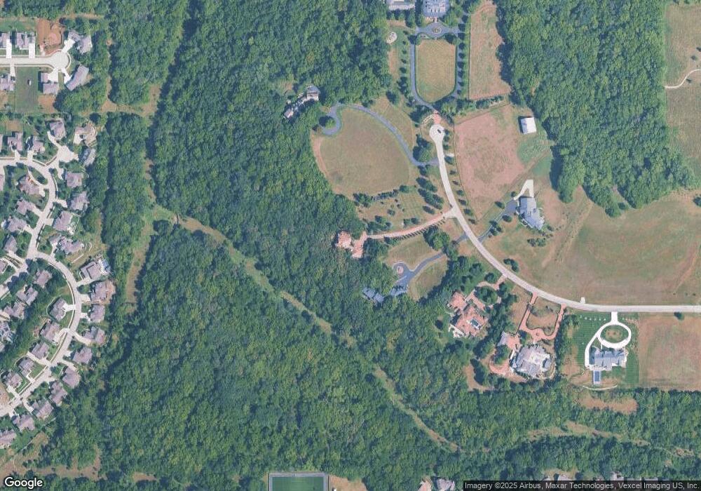
Map
Nearby Homes
- 237 Landon Ct
- 413 Terri Ct
- 5117 Parker Ct
- 323 N Eaton Dr
- 125 Sharon Dr
- 404 Jane Ct
- 205 Campbell Ct
- 401 Casa Bonita Dr
- 5237 Carson Dr
- 4225 Briarwood Dr
- 416 Eldridge St
- 5245 Overland Dr Unit C9
- 5245 Overland Dr Unit B25
- 4624 Hearthside Dr
- 3921 Monterey Place
- 145 N Fall Creek Dr
- 4727 Moundridge Ct
- 5200 Congressional Place
- 3712 Running Ridge Dr
- 3720 Running Ridge Dr
- 4605 Bauer Brook Ct
- 4565 Bauer Brook Ct
- 1073 N 1665 Rd
- 4665 Bauer Brook Ct
- 4645 Bauer Brook Ct
- 4560 Bauer Brook Ct
- 4545 Bauer Brook Ct
- 210 Landon Ct
- 214 Landon Ct
- 4670 Bauer Brook Ct
- 4670 Bauer Brook Ct
- 4628 Trail Rd
- 4632 Trail Rd
- 218 Landon Ct
- 126 Earhart Cir
- 222 Landon Ct
- 4901 Hickok Ct
- 4624 Trail Rd
- 130 Earhart Cir
- 4629 Trail Rd
Your Personal Tour Guide
Ask me questions while you tour the home.