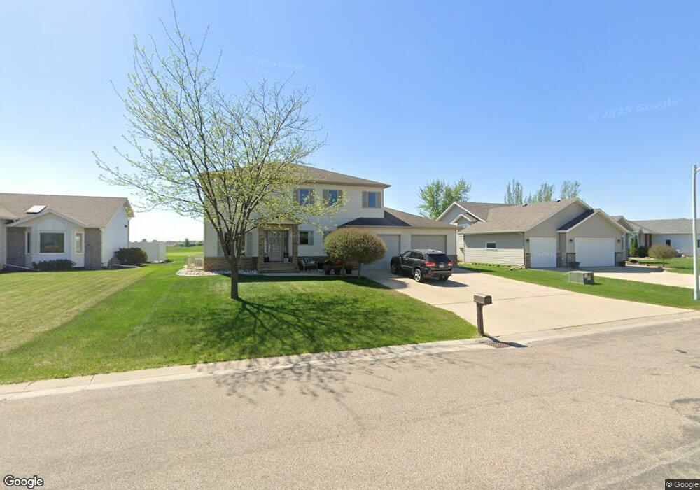
463 Clearview Ct Moorhead, MN 56560
Estimated Value: $423,000 - $552,000
5
Beds
4
Baths
3,940
Sq Ft
$124/Sq Ft
Est. Value
About This Home
This home is located at 463 Clearview Ct, Moorhead, MN 56560 and is currently estimated at $486,829, approximately $123 per square foot. 463 Clearview Ct is a home located in Clay County with nearby schools including Dorothy Dodds Elementary School, Horizon Middle School, and Moorhead High School.
Ownership History
Date
Name
Owned For
Owner Type
Purchase Details
Closed on
Jun 27, 2017
Sold by
Drenth Daniel S and Drenth Susan E Johnson
Bought by
Dronen Todd and Dronen Kelli
Current Estimated Value
Home Financials for this Owner
Home Financials are based on the most recent Mortgage that was taken out on this home.
Original Mortgage
$346,750
Outstanding Balance
$289,115
Interest Rate
4.02%
Mortgage Type
New Conventional
Estimated Equity
$197,714
Purchase Details
Closed on
Jan 23, 2009
Sold by
Allen Kevin and Allen Jaylin N
Bought by
Drenth Daniel S and Johnson Drenth Susan E
Home Financials for this Owner
Home Financials are based on the most recent Mortgage that was taken out on this home.
Original Mortgage
$207,000
Interest Rate
5.08%
Mortgage Type
New Conventional
Create a Home Valuation Report for This Property
The Home Valuation Report is an in-depth analysis detailing your home's value as well as a comparison with similar homes in the area
Home Values in the Area
Average Home Value in this Area
Purchase History
| Date | Buyer | Sale Price | Title Company |
|---|---|---|---|
| Dronen Todd | $365,000 | Title Co Of Fargo | |
| Drenth Daniel S | $280,000 | None Available |
Source: Public Records
Mortgage History
| Date | Status | Borrower | Loan Amount |
|---|---|---|---|
| Open | Dronen Todd | $346,750 | |
| Previous Owner | Drenth Daniel S | $207,000 |
Source: Public Records
Tax History Compared to Growth
Tax History
| Year | Tax Paid | Tax Assessment Tax Assessment Total Assessment is a certain percentage of the fair market value that is determined by local assessors to be the total taxable value of land and additions on the property. | Land | Improvement |
|---|---|---|---|---|
| 2025 | $6,182 | $418,900 | $44,400 | $374,500 |
| 2024 | $6,182 | $404,300 | $44,400 | $359,900 |
| 2023 | $6,528 | $427,600 | $52,500 | $375,100 |
| 2022 | $5,894 | $406,300 | $48,500 | $357,800 |
| 2021 | $5,920 | $365,500 | $44,400 | $321,100 |
| 2020 | $6,056 | $364,200 | $44,400 | $319,800 |
| 2019 | $5,502 | $381,700 | $44,400 | $337,300 |
| 2018 | $5,480 | $369,300 | $44,400 | $324,900 |
| 2017 | $4,810 | $369,300 | $44,400 | $324,900 |
| 2016 | $4,846 | $349,700 | $44,400 | $305,300 |
| 2015 | $4,204 | $323,300 | $44,200 | $279,100 |
| 2014 | $4,134 | $323,300 | $44,200 | $279,100 |
Source: Public Records
Map
Nearby Homes
- 453 Rensvold Blvd
- 537 Maple Ln
- 525 Maple Ln
- 766 36th St S
- 530 Cedar Ln
- 638 Appletree Ln
- 509 Birch Ln
- 1242 32nd Street Cir S
- 1325 32nd Street Cir S
- 2225 4th Ave S
- 1218 35th Street Cir S
- 2203 4th Ave S Unit 4
- 1715 33rd St S
- 1822 33rd St S
- 427 33rd St N
- 3724 27th St S
- 3718 27th St S
- 600 32nd St N
- 2002 35th Street South Cir
- 3312 5th Ave N
- 469 Clearview Ct
- 457 Clearview Ct
- 471 Clearview Ct
- 451 Clearview Ct
- 454 Clearview Ct
- 468 Clearview Ct
- 473 Clearview Ct
- 449 Clearview Ct
- 470 Clearview Ct
- 452 Clearview Ct
- 456 Clearview Ct
- 475 Clearview Ct
- 472 Clearview Ct
- 450 Clearview Ct
- 466 Clearview Ct
- 448 Clearview Ct
- 445 Clearview Ct
- 458 Clearview Ct
- 432 Clearview Ct
- 464 Clearview Ct