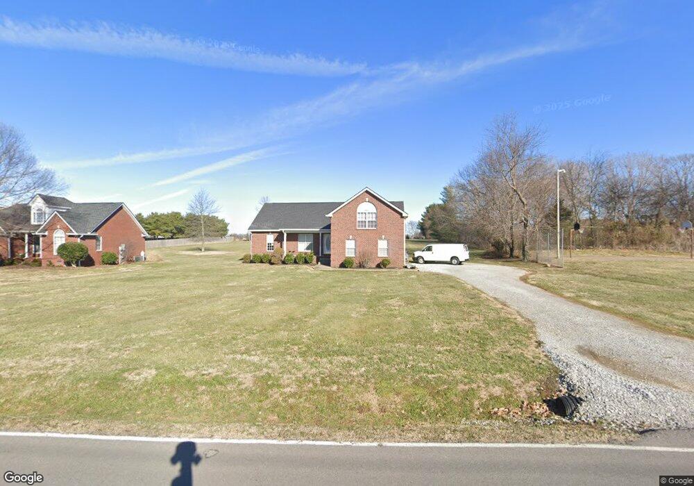
463 Clearview Rd Cottontown, TN 37048
Estimated Value: $374,330 - $499,000
--
Bed
2
Baths
1,782
Sq Ft
$257/Sq Ft
Est. Value
About This Home
This home is located at 463 Clearview Rd, Cottontown, TN 37048 and is currently estimated at $457,833, approximately $256 per square foot. 463 Clearview Rd is a home located in Sumner County with nearby schools including Portland Gateview Elementary School, Portland West Middle School, and Portland High School.
Ownership History
Date
Name
Owned For
Owner Type
Purchase Details
Closed on
May 2, 2005
Sold by
Milender Chris M and Fuqua Milton
Bought by
Johnson Jennifer
Current Estimated Value
Home Financials for this Owner
Home Financials are based on the most recent Mortgage that was taken out on this home.
Original Mortgage
$142,400
Outstanding Balance
$74,962
Interest Rate
5.99%
Mortgage Type
Fannie Mae Freddie Mac
Estimated Equity
$382,871
Purchase Details
Closed on
Jan 14, 2005
Sold by
Batey Thomas W and Batey Nancy E
Bought by
Milender Chris M and Fuqua Milton
Home Financials for this Owner
Home Financials are based on the most recent Mortgage that was taken out on this home.
Original Mortgage
$130,000
Interest Rate
5.61%
Mortgage Type
Construction
Create a Home Valuation Report for This Property
The Home Valuation Report is an in-depth analysis detailing your home's value as well as a comparison with similar homes in the area
Home Values in the Area
Average Home Value in this Area
Purchase History
| Date | Buyer | Sale Price | Title Company |
|---|---|---|---|
| Johnson Jennifer | $178,000 | Hallmark Title Company | |
| Milender Chris M | $21,900 | Highland Title Llc |
Source: Public Records
Mortgage History
| Date | Status | Borrower | Loan Amount |
|---|---|---|---|
| Open | Johnson Jennifer | $142,400 | |
| Previous Owner | Milender Chris M | $130,000 | |
| Closed | Johnson Jennifer | $35,600 |
Source: Public Records
Tax History Compared to Growth
Tax History
| Year | Tax Paid | Tax Assessment Tax Assessment Total Assessment is a certain percentage of the fair market value that is determined by local assessors to be the total taxable value of land and additions on the property. | Land | Improvement |
|---|---|---|---|---|
| 2024 | $1,371 | $96,475 | $20,000 | $76,475 |
| 2023 | $1,289 | $57,225 | $10,950 | $46,275 |
| 2022 | $1,294 | $57,225 | $10,950 | $46,275 |
| 2021 | $1,294 | $57,225 | $10,950 | $46,275 |
| 2020 | $1,294 | $57,225 | $10,950 | $46,275 |
| 2019 | $1,294 | $0 | $0 | $0 |
| 2018 | $1,140 | $0 | $0 | $0 |
| 2017 | $1,140 | $0 | $0 | $0 |
| 2016 | $1,140 | $0 | $0 | $0 |
| 2015 | -- | $0 | $0 | $0 |
| 2014 | -- | $0 | $0 | $0 |
Source: Public Records
Map
Nearby Homes
- 1003 Roland Ct
- 541 Clearview Rd
- 1 Clearview Rd
- 686 Clearview Rd
- 357 Raymond Hodges Rd
- 4832 Hwy 31w
- 572 Buntin Mill Rd
- 1014 Somerville Dr
- 4648 Highway 31 W
- 1031 Kennedy Ln
- 293 Aplin Branch Rd
- 4628 Hwy 31w
- 1044 Washington Dr
- 267 Aplin Branch Rd
- 116 Bradley Ln
- 4606 Highway 31 W
- 320 Spring Valley Dr
- 358 Spring Valley Dr
- 0 Jake Link Rd
- 1040 Washington Dr
- 459 Clearview Rd
- 455 Clearview Rd
- 503 Clearview Rd
- 449 Clearview Rd
- 505 Clearview Rd
- 507 Clearview Rd
- 456 Clearview Rd
- 1002 Roland Ct
- 443 Clearview Rd
- 1004 Roland Ct
- 509 Clearview Rd
- 435 Clearview Rd
- 1005 Roland Ct
- 442 Clearview Rd
- 1586 Maxwell Branch Rd
- 524 Clearview Rd
- 1592 Maxwell Branch Rd
- 1580 Maxwell Branch Rd
- 434 Clearview Rd