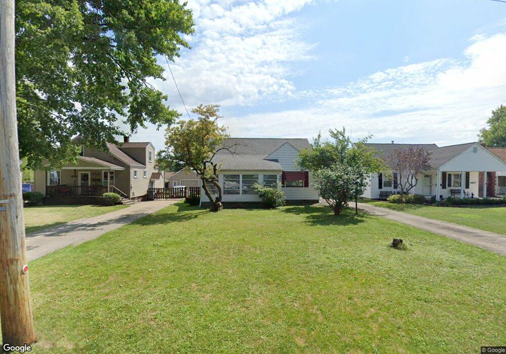
463 Forest Hill Dr Youngstown, OH 44515
Austintown NeighborhoodEstimated Value: $154,000 - $177,000
3
Beds
2
Baths
1,269
Sq Ft
$129/Sq Ft
Est. Value
About This Home
This home is located at 463 Forest Hill Dr, Youngstown, OH 44515 and is currently estimated at $163,160, approximately $128 per square foot. 463 Forest Hill Dr is a home located in Mahoning County with nearby schools including Austintown Elementary School, Austintown Intermediate School, and Austintown Middle School.
Ownership History
Date
Name
Owned For
Owner Type
Purchase Details
Closed on
Mar 30, 2000
Sold by
Czopur Robert and Czopur Joyce
Bought by
Odonnell Bernie
Current Estimated Value
Home Financials for this Owner
Home Financials are based on the most recent Mortgage that was taken out on this home.
Original Mortgage
$62,000
Outstanding Balance
$21,485
Interest Rate
8.39%
Estimated Equity
$141,675
Purchase Details
Closed on
Jun 17, 1991
Bought by
Czopur Rbt and Czopur Joyce
Create a Home Valuation Report for This Property
The Home Valuation Report is an in-depth analysis detailing your home's value as well as a comparison with similar homes in the area
Home Values in the Area
Average Home Value in this Area
Purchase History
| Date | Buyer | Sale Price | Title Company |
|---|---|---|---|
| Odonnell Bernie | $77,500 | -- | |
| Czopur Rbt | $50,000 | -- |
Source: Public Records
Mortgage History
| Date | Status | Borrower | Loan Amount |
|---|---|---|---|
| Open | Odonnell Bernie | $62,000 |
Source: Public Records
Tax History Compared to Growth
Tax History
| Year | Tax Paid | Tax Assessment Tax Assessment Total Assessment is a certain percentage of the fair market value that is determined by local assessors to be the total taxable value of land and additions on the property. | Land | Improvement |
|---|---|---|---|---|
| 2024 | $1,392 | $39,820 | $3,770 | $36,050 |
| 2023 | $1,395 | $39,820 | $3,770 | $36,050 |
| 2022 | $857 | $23,780 | $3,150 | $20,630 |
| 2021 | $858 | $23,780 | $3,150 | $20,630 |
| 2020 | $1,354 | $23,780 | $3,150 | $20,630 |
| 2019 | $1,283 | $20,320 | $2,690 | $17,630 |
| 2018 | $1,236 | $20,320 | $2,690 | $17,630 |
| 2017 | $1,313 | $20,320 | $2,690 | $17,630 |
| 2016 | $1,404 | $23,140 | $2,690 | $20,450 |
| 2015 | $1,361 | $23,140 | $2,690 | $20,450 |
| 2014 | $1,367 | $23,140 | $2,690 | $20,450 |
| 2013 | $1,352 | $23,140 | $2,690 | $20,450 |
Source: Public Records
Map
Nearby Homes
- 3811 Artmar Dr
- 532 Westgate Blvd
- 4102 Burkey Rd
- 252 Rosemont Ave
- 263 S Main St
- 653 S Meridian Rd
- 425 Southward Dr
- 565 S Meridian Rd
- 902 S Meridian Rd
- 136 Rosemont Ave
- 4234 Burkey Rd
- 255 S Beverly Ave
- 3828 Oakleigh Ave
- 208 S Roanoke Ave
- 4262 Pembrook Rd
- 209 S Beverly Ave
- 97 S Four Mile Run Rd
- 1560 S Meridian Rd
- 3890 Ayrshire Dr
- 0 Elmwood Ave
- 467 Forest Hill Dr
- 459 Forest Hill Dr
- 475 Forest Hill Dr
- 453 Forest Hill Dr
- 445 Forest Hill Dr
- 479 Forest Hill Dr
- 3876 Artmar Dr
- 3882 Artmar Dr
- 441 Forest Hill Dr
- 3870 Artmar Dr
- 487 Forest Hill Dr
- 3888 Artmar Dr
- 439 Forest Hill Dr
- 3864 Artmar Dr
- 458 Forest Hill Dr
- 3894 Artmar Dr
- 464 Forest Hill Dr
- 452 Forest Hill Dr
- 470 Forest Hill Dr
- 448 Forest Hill Dr