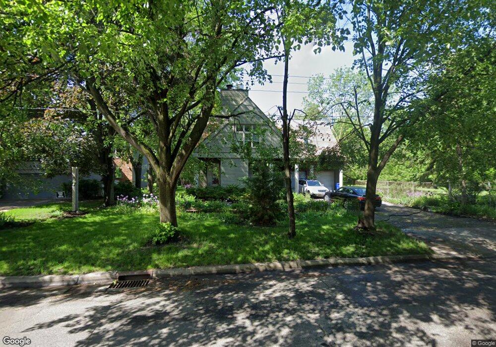
463 Otis Ave Saint Paul, MN 55104
Union Park NeighborhoodEstimated Value: $536,000 - $676,000
3
Beds
2
Baths
2,898
Sq Ft
$219/Sq Ft
Est. Value
About This Home
This home is located at 463 Otis Ave, Saint Paul, MN 55104 and is currently estimated at $635,253, approximately $219 per square foot. 463 Otis Ave is a home located in Ramsey County with nearby schools including Groveland Park Elementary School, Hidden River Middle School, and Central Senior High School.
Ownership History
Date
Name
Owned For
Owner Type
Purchase Details
Closed on
Apr 28, 2022
Sold by
Hellerstedt John Thomas and Thery Janet Susan
Bought by
Hellerstedt John Thomas and Thery Janet Susan
Current Estimated Value
Purchase Details
Closed on
Nov 23, 2014
Sold by
Connoy Thomas and Alverson Jill
Bought by
Sulerud Ralph and Sulerud Grace
Create a Home Valuation Report for This Property
The Home Valuation Report is an in-depth analysis detailing your home's value as well as a comparison with similar homes in the area
Home Values in the Area
Average Home Value in this Area
Purchase History
| Date | Buyer | Sale Price | Title Company |
|---|---|---|---|
| Hellerstedt John Thomas | -- | None Listed On Document | |
| Hellerstedt John Thomas | -- | None Listed On Document | |
| Sulerud Ralph | $515 | None Available |
Source: Public Records
Tax History Compared to Growth
Tax History
| Year | Tax Paid | Tax Assessment Tax Assessment Total Assessment is a certain percentage of the fair market value that is determined by local assessors to be the total taxable value of land and additions on the property. | Land | Improvement |
|---|---|---|---|---|
| 2025 | $7,012 | $629,000 | $153,600 | $475,400 |
| 2023 | $7,012 | $454,700 | $153,600 | $301,100 |
| 2022 | $6,310 | $449,200 | $153,600 | $295,600 |
| 2021 | $6,620 | $391,300 | $153,600 | $237,700 |
| 2020 | $7,272 | $424,400 | $153,600 | $270,800 |
| 2019 | $7,362 | $433,100 | $153,600 | $279,500 |
| 2018 | $7,250 | $433,100 | $153,600 | $279,500 |
| 2017 | $7,332 | $433,100 | $153,600 | $279,500 |
| 2016 | $7,270 | $0 | $0 | $0 |
| 2015 | $7,594 | $433,100 | $153,600 | $279,500 |
| 2014 | $7,768 | $0 | $0 | $0 |
Source: Public Records
Map
Nearby Homes
- 572 Desnoyer Ave
- 563 Eustis St
- 515 Raymond Ave
- 583 Cromwell Ave
- 606 Cromwell Ave
- 2156 Saint Anthony Ave
- 3112 45th Ave S
- 2616 40th Ave S
- 110 Mississippi River Blvd N
- 2181 Dayton Ave
- 104 Mississippi River Blvd N
- 98 Mississippi River Blvd N - Lot
- 2150 Marshall Ave
- 215 Warwick St SE
- 3011 40th Ave S
- 1909 E River Pkwy
- 2098 Marshall Ave
- 2103 Dayton Ave
- 2565 Franklin Ave Unit 313
- 2565 Franklin Ave Unit 207
- 455 Otis Ave
- 404 Miss Rv Blvd N Unit 3
- 404 Miss Rv Blvd N Unit 2
- 404 Miss Rv Blvd N Unit 1
- 404 Mississippi River Blvd N Unit 2
- 462 Otis Ave
- 458 Otis Ave
- 485 Otis Ave
- 420 Mississippi River Blvd N
- 445 Otis Ave
- 445 445 Otis Ave
- 472 Otis Ave
- 452 Otis Ave
- 491 Otis Ave
- 444 Otis Ave
- 480 Otis Ave
- 486 Otis Ave
- 430 Mississippi River Blvd N
- 497 Otis Ave
- 471 Desnoyer Ave