Estimated Value: $425,000 - $500,000
3
Beds
3
Baths
2,582
Sq Ft
$179/Sq Ft
Est. Value
About This Home
This home is located at 4633 Phillip Ct, Stow, OH 44224 and is currently estimated at $461,376, approximately $178 per square foot. 4633 Phillip Ct is a home with nearby schools including Stow-Munroe Falls High School, Primrose School of Hudson, and Holy Family Elementary School.
Ownership History
Date
Name
Owned For
Owner Type
Purchase Details
Closed on
Jul 12, 2018
Sold by
Pulte Homes Of Ohio Llc
Bought by
Evans Theodore and Evans Betty J
Current Estimated Value
Home Financials for this Owner
Home Financials are based on the most recent Mortgage that was taken out on this home.
Original Mortgage
$135,821
Outstanding Balance
$117,709
Interest Rate
4.5%
Mortgage Type
VA
Estimated Equity
$343,667
Create a Home Valuation Report for This Property
The Home Valuation Report is an in-depth analysis detailing your home's value as well as a comparison with similar homes in the area
Home Values in the Area
Average Home Value in this Area
Purchase History
| Date | Buyer | Sale Price | Title Company |
|---|---|---|---|
| Evans Theodore | $317,661 | None Available |
Source: Public Records
Mortgage History
| Date | Status | Borrower | Loan Amount |
|---|---|---|---|
| Open | Evans Theodore | $135,821 |
Source: Public Records
Tax History
| Year | Tax Paid | Tax Assessment Tax Assessment Total Assessment is a certain percentage of the fair market value that is determined by local assessors to be the total taxable value of land and additions on the property. | Land | Improvement |
|---|---|---|---|---|
| 2025 | $6,415 | $132,363 | $26,488 | $105,875 |
| 2024 | $6,415 | $132,363 | $26,488 | $105,875 |
| 2023 | $6,415 | $132,363 | $26,488 | $105,875 |
| 2021 | $5,112 | $107,132 | $21,364 | $85,768 |
| 2020 | $5,024 | $107,130 | $21,360 | $85,770 |
| 2019 | $5,240 | $105,000 | $21,360 | $83,640 |
| 2018 | $1,339 | $21,360 | $21,360 | $0 |
| 2017 | $0 | $21,360 | $21,360 | $0 |
| 2016 | $250 | $2,980 | $2,980 | $0 |
| 2015 | -- | $0 | $0 | $0 |
Source: Public Records
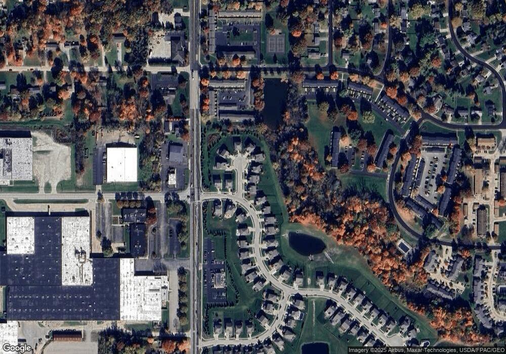
Map
Nearby Homes
- 4623 Cox Dr
- 4625 Cox Dr Unit B
- 1921-1929 Ritchie Rd
- 1525 Spruce Hill Dr
- 2352 Becket Cir
- 1953 Arndale Rd
- 4424 Timberdale Dr Unit 4428
- 5026 Portland Cove
- 2221 Crockett Cir
- 5091 Ridge Meadow Dr
- 5050 Lake Point Ct
- 5123 Sodalite Dr
- 5150 Bayside Lake Blvd
- V/L Norton Rd
- 5163 Beckett Ridge
- 2055-2059 Bryn Mawr Dr
- 2344 Echo Valley Dr
- V/L Housley Rd
- 4534 Foresthill Rd
- 4728 Fishcreek Rd
- 4627 Phillip Ct
- 4639 Phillip Ct
- 1923 Baker Ln
- 4643 Phillip Ct
- 4647 Phillip Ct
- 1911 Baker Ln
- 1931 Baker Ln
- 4642 Phillip Ct
- 1926 Baker Ln
- 4646 Phillip Ct
- 4642 Phillip Ct
- 1905 Baker Ln
- 4650 Phillip Ct
- 1910 Baker Ln
- 1935 Baker Ln
- 1904 Baker Ln
- 1941 Baker Ln
- 1938 Inverness Ln
- 1938 Baker Ln
- 1802 Higby Dr Unit A
Your Personal Tour Guide
Ask me questions while you tour the home.