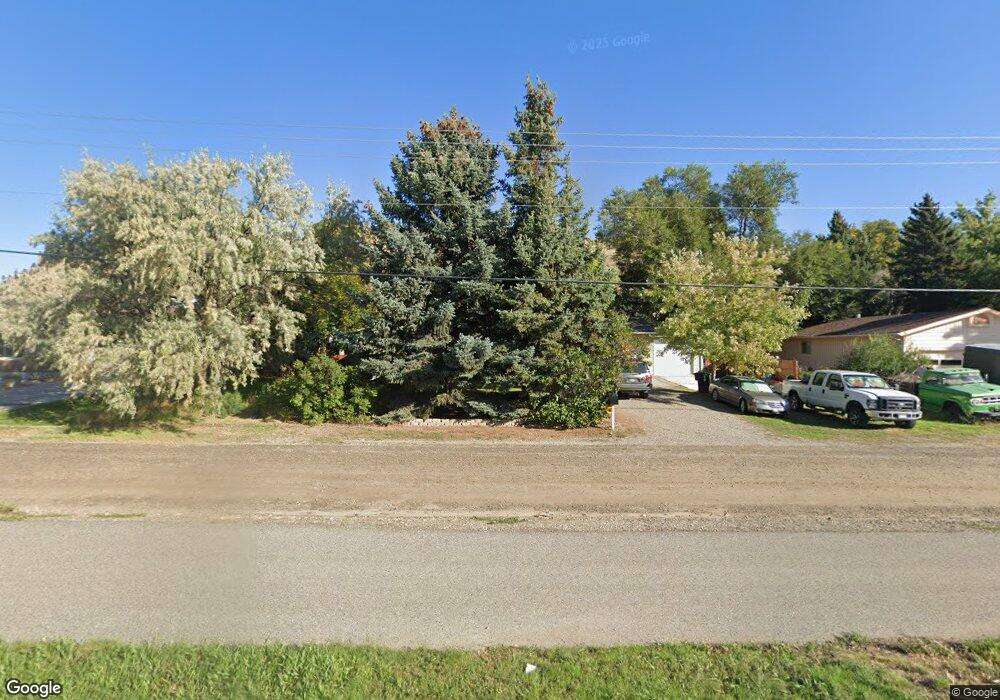
4633 Rimrock Rd Billings, MT 59106
West Shiloh NeighborhoodEstimated Value: $319,000 - $396,295
3
Beds
3
Baths
2,544
Sq Ft
$138/Sq Ft
Est. Value
About This Home
This home is located at 4633 Rimrock Rd, Billings, MT 59106 and is currently estimated at $351,824, approximately $138 per square foot. 4633 Rimrock Rd is a home located in Yellowstone County with nearby schools including Arrowhead School, Ben Steele Middle School, and Billings West High School.
Ownership History
Date
Name
Owned For
Owner Type
Purchase Details
Closed on
Nov 26, 2024
Sold by
Janice C Vigessaa Trust and Haney Laurel D
Bought by
Hart Joktan and Hart Caitlin
Current Estimated Value
Home Financials for this Owner
Home Financials are based on the most recent Mortgage that was taken out on this home.
Original Mortgage
$297,000
Outstanding Balance
$294,502
Interest Rate
6.44%
Mortgage Type
New Conventional
Estimated Equity
$57,322
Create a Home Valuation Report for This Property
The Home Valuation Report is an in-depth analysis detailing your home's value as well as a comparison with similar homes in the area
Home Values in the Area
Average Home Value in this Area
Purchase History
| Date | Buyer | Sale Price | Title Company |
|---|---|---|---|
| Hart Joktan | -- | First Montana Title | |
| Hart Joktan | -- | First Montana Title |
Source: Public Records
Mortgage History
| Date | Status | Borrower | Loan Amount |
|---|---|---|---|
| Open | Hart Joktan | $297,000 | |
| Closed | Hart Joktan | $297,000 |
Source: Public Records
Tax History Compared to Growth
Tax History
| Year | Tax Paid | Tax Assessment Tax Assessment Total Assessment is a certain percentage of the fair market value that is determined by local assessors to be the total taxable value of land and additions on the property. | Land | Improvement |
|---|---|---|---|---|
| 2025 | $3,163 | $329,245 | $112,665 | $216,580 |
| 2024 | $3,163 | $320,300 | $101,457 | $218,843 |
| 2023 | $3,179 | $320,300 | $101,457 | $218,843 |
| 2022 | $2,043 | $216,400 | $0 | $0 |
| 2021 | $2,365 | $216,400 | $0 | $0 |
| 2020 | $2,501 | $221,500 | $0 | $0 |
| 2019 | $2,389 | $221,500 | $0 | $0 |
| 2018 | $2,201 | $198,900 | $0 | $0 |
| 2017 | $1,841 | $198,900 | $0 | $0 |
| 2016 | $1,979 | $185,900 | $0 | $0 |
| 2015 | $1,935 | $185,900 | $0 | $0 |
| 2014 | $1,852 | $94,658 | $0 | $0 |
Source: Public Records
Map
Nearby Homes
- 4699 Palisades Park
- 4416 Pine Cove Rd
- 5045 Audubon Way
- 5073 Audubon Way
- 2518 Silver Pine Ct
- 2514 Silver Pine Ct
- 2510 Silver Pine Ct
- 4816 Silver Creek Trail
- 4902 Silver Creek Trail
- 2529 Buffalo Ridge Trail
- 2516 Aspen Creek Trail
- 2526 Buffalo Ridge Trail
- TBD Arapaho Trail
- 4984 Whisper Way Unit 5
- 4265 Laredo Place
- 2631 Country Ln
- 4044 Backwoods Dr
- 2714 Auburn Cir
- 5212 Chapel Hill Dr
- 2213 Westfield Dr
- 4619 Rimrock Rd
- 4647 Rimrock Rd
- 4630 Audubon Way
- 4604 Audubon Way
- 4603 Rimrock Rd
- 4705 Rimrock Rd
- 4640 Rimrock Rd
- 4611 Audubon Way
- 4639 Audubon Way
- 4713 Rimrock Rd
- 4665 Audubon Way
- 2905 High Park Dr
- 4540 Audubon Way
- 4551 Audubon Way
- 4712 Rimrock Rd
- 4602 Toyon Dr
- 4721 Rimrock Rd
- NHN Rimrock Lot 3b
- 4600 Rimrock Rd
- 4545 Audubon Way