4645 State Route Ab West Plains, MO 65775
Estimated Value: $334,000 - $441,000
--
Bed
--
Bath
1,740
Sq Ft
$235/Sq Ft
Est. Value
About This Home
This home is located at 4645 State Route Ab, West Plains, MO 65775 and is currently estimated at $409,302, approximately $235 per square foot. 4645 State Route Ab is a home with nearby schools including West Plains Senior High School and Faith Assembly Christian School.
Ownership History
Date
Name
Owned For
Owner Type
Purchase Details
Closed on
Jul 14, 2016
Sold by
Sexton Donald R and Sexton Venetta
Bought by
Jones Larry D
Current Estimated Value
Home Financials for this Owner
Home Financials are based on the most recent Mortgage that was taken out on this home.
Original Mortgage
$186,558
Outstanding Balance
$147,325
Interest Rate
3.25%
Mortgage Type
FHA
Estimated Equity
$261,977
Purchase Details
Closed on
Jun 6, 2016
Sold by
Sexton Mike and Sexton Connie
Bought by
Sexton Donald R and Sexton Venetta
Home Financials for this Owner
Home Financials are based on the most recent Mortgage that was taken out on this home.
Original Mortgage
$186,558
Outstanding Balance
$147,325
Interest Rate
3.25%
Mortgage Type
FHA
Estimated Equity
$261,977
Purchase Details
Closed on
Aug 2, 2012
Sold by
Pilgrim Russell D and Pilgrim Beth A
Bought by
Sexton Mike and Sexton Gary D
Create a Home Valuation Report for This Property
The Home Valuation Report is an in-depth analysis detailing your home's value as well as a comparison with similar homes in the area
Home Values in the Area
Average Home Value in this Area
Purchase History
| Date | Buyer | Sale Price | Title Company |
|---|---|---|---|
| Jones Larry D | -- | Brill Title Company | |
| Sexton Donald R | -- | Brill Title Company | |
| Sexton Mike | -- | None Available |
Source: Public Records
Mortgage History
| Date | Status | Borrower | Loan Amount |
|---|---|---|---|
| Open | Jones Larry D | $186,558 |
Source: Public Records
Tax History Compared to Growth
Tax History
| Year | Tax Paid | Tax Assessment Tax Assessment Total Assessment is a certain percentage of the fair market value that is determined by local assessors to be the total taxable value of land and additions on the property. | Land | Improvement |
|---|---|---|---|---|
| 2025 | $1,321 | $33,670 | $9,050 | $24,620 |
| 2024 | $1,312 | $30,060 | -- | -- |
| 2023 | $1,312 | $30,060 | $0 | $0 |
| 2022 | $1,253 | $28,740 | $0 | $0 |
| 2021 | $1,170 | $28,740 | $0 | $0 |
| 2020 | $1,170 | $26,210 | $0 | $0 |
| 2019 | $1,217 | $26,210 | $0 | $0 |
| 2018 | $1,191 | $25,640 | $0 | $0 |
| 2017 | $1,186 | $25,640 | $0 | $0 |
| 2015 | -- | $25,640 | $0 | $0 |
| 2014 | -- | $25,640 | $0 | $0 |
| 2013 | -- | $25,640 | $0 | $0 |
Source: Public Records
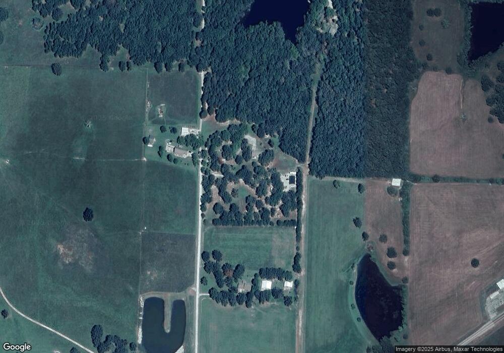
Map
Nearby Homes
- 0 State Route Jj
- 4388 Private Road 6314
- 4365 Private Road 6314
- 000 Private Road 8825
- 4427 County Road 6620
- 4359 U S 160
- 9666 County Road 6070
- 5019 Private Road 8948
- 4808 County Road 8940
- 000 County Road 8190
- 10733 County Road 8070
- 000 Arrowhead Acres
- 0 Lanton Rd
- 5038 County Road 8940
- 1239 County Road 8620
- 10567 County Road 8130
- 5714 Private Road 8072
- 1452 County Road 6310
- 000 Us Highway 160 W
- 000 Sienna