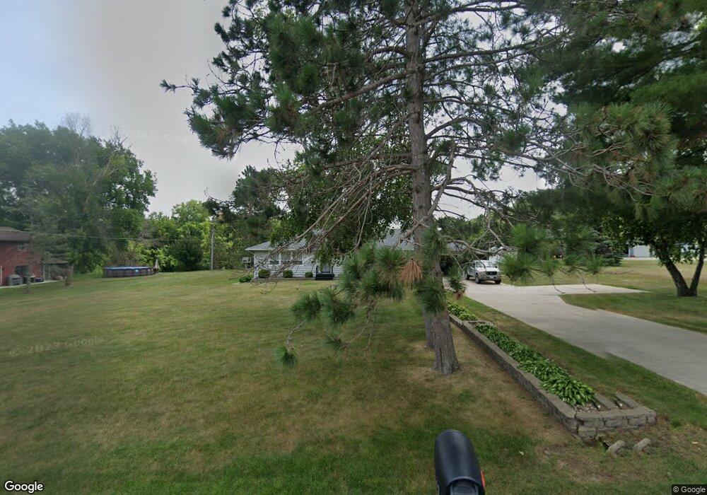
4647 Mill Rd Red Wing, MN 55066
Estimated Value: $321,115 - $354,000
2
Beds
3
Baths
1,576
Sq Ft
$218/Sq Ft
Est. Value
About This Home
This home is located at 4647 Mill Rd, Red Wing, MN 55066 and is currently estimated at $343,779, approximately $218 per square foot. 4647 Mill Rd is a home located in Goodhue County with nearby schools including Burnside Elementary School, Sunnyside Elementary School, and Twin Bluff Middle School.
Create a Home Valuation Report for This Property
The Home Valuation Report is an in-depth analysis detailing your home's value as well as a comparison with similar homes in the area
Home Values in the Area
Average Home Value in this Area
Tax History
| Year | Tax Paid | Tax Assessment Tax Assessment Total Assessment is a certain percentage of the fair market value that is determined by local assessors to be the total taxable value of land and additions on the property. | Land | Improvement |
|---|---|---|---|---|
| 2025 | $3,654 | $291,900 | $91,600 | $200,300 |
| 2024 | -- | $287,700 | $91,600 | $196,100 |
| 2023 | $3,556 | $274,500 | $91,600 | $182,900 |
| 2022 | $3,394 | $273,000 | $91,500 | $181,500 |
| 2021 | $3,116 | $240,200 | $91,500 | $148,700 |
| 2020 | $3,142 | $225,200 | $91,500 | $133,700 |
| 2019 | $3,142 | $213,300 | $91,500 | $121,800 |
| 2018 | $2,624 | $215,500 | $91,500 | $124,000 |
| 2017 | $2,590 | $195,200 | $91,000 | $104,200 |
| 2016 | $2,416 | $195,000 | $91,000 | $104,000 |
| 2015 | $2,352 | $191,200 | $91,000 | $100,200 |
| 2014 | -- | $176,100 | $91,000 | $85,100 |
Source: Public Records
Map
Nearby Homes
- 1056 Birch Ave
- 912 Aurora Cir
- 921 Snowbird Dr
- 4739 Big Sky Ct
- 914 Snowbird Dr
- 910 Snowbird Dr
- 853 Aurora Cir
- 980 Aurora Cir
- 4958 Chalet Ct
- 133 Kingswood Dr
- 135 Kingswood Dr
- 237 Butternut Ave
- 5542 Cannon Dale Ct
- 3429 Helen Ln
- 186 Sargent Dr
- 210 Sargent Dr Unit 103
- 113 Burnside Ave S
- 1125 Hewitt Blvd
- 2820 N Service Dr
- 374 Westwood South St
Your Personal Tour Guide
Ask me questions while you tour the home.