4649 State Route Ab West Plains, MO 65775
Estimated Value: $249,000 - $402,000
--
Bed
--
Bath
1,873
Sq Ft
$174/Sq Ft
Est. Value
About This Home
This home is located at 4649 State Route Ab, West Plains, MO 65775 and is currently estimated at $325,413, approximately $173 per square foot. 4649 State Route Ab is a home with nearby schools including West Plains Senior High School and Faith Assembly Christian School.
Ownership History
Date
Name
Owned For
Owner Type
Purchase Details
Closed on
May 29, 2018
Sold by
Brown Brukce and Brown Diana
Bought by
Brown Danny R and Brown Diana L
Current Estimated Value
Purchase Details
Closed on
Apr 19, 2018
Sold by
Deshazo Bruce and Brown Diana
Bought by
Brown Danny R and Brown Diana L
Purchase Details
Closed on
Mar 23, 2018
Sold by
Deshazo Bruce Wayne and Deshazo Anna
Bought by
Deshazo Bruce and Brown Diana
Purchase Details
Closed on
Jul 27, 2011
Sold by
Deshazo Dean and Deshazo Beverly A
Bought by
Deshazo Bruce Wayne and Brown Diana L
Purchase Details
Closed on
May 23, 2011
Sold by
Deshazo Wayne and Deshazo Wilma
Bought by
Brown Danny R and Brown Diana L
Create a Home Valuation Report for This Property
The Home Valuation Report is an in-depth analysis detailing your home's value as well as a comparison with similar homes in the area
Home Values in the Area
Average Home Value in this Area
Purchase History
| Date | Buyer | Sale Price | Title Company |
|---|---|---|---|
| Brown Danny R | -- | None Available | |
| Brown Danny R | -- | None Available | |
| Deshazo Bruce | -- | Wiles Abstract Co | |
| Deshazo Bruce Wayne | -- | None Available | |
| Deshazo Bruce Wayne | -- | None Available | |
| Brown Danny R | -- | None Available |
Source: Public Records
Tax History Compared to Growth
Tax History
| Year | Tax Paid | Tax Assessment Tax Assessment Total Assessment is a certain percentage of the fair market value that is determined by local assessors to be the total taxable value of land and additions on the property. | Land | Improvement |
|---|---|---|---|---|
| 2025 | $1,506 | $38,310 | $4,120 | $34,190 |
| 2024 | $1,496 | $34,270 | -- | -- |
| 2023 | $1,496 | $34,270 | $0 | $0 |
| 2022 | $1,413 | $32,430 | $0 | $0 |
| 2021 | $1,349 | $32,430 | $0 | $0 |
| 2020 | $1,349 | $30,220 | $0 | $0 |
| 2019 | $1,404 | $30,220 | $0 | $0 |
| 2018 | $1,327 | $28,580 | $0 | $0 |
| 2017 | $1,323 | $28,580 | $0 | $0 |
| 2015 | -- | $28,580 | $0 | $0 |
| 2014 | -- | $28,570 | $0 | $0 |
| 2013 | -- | $28,380 | $0 | $0 |
Source: Public Records
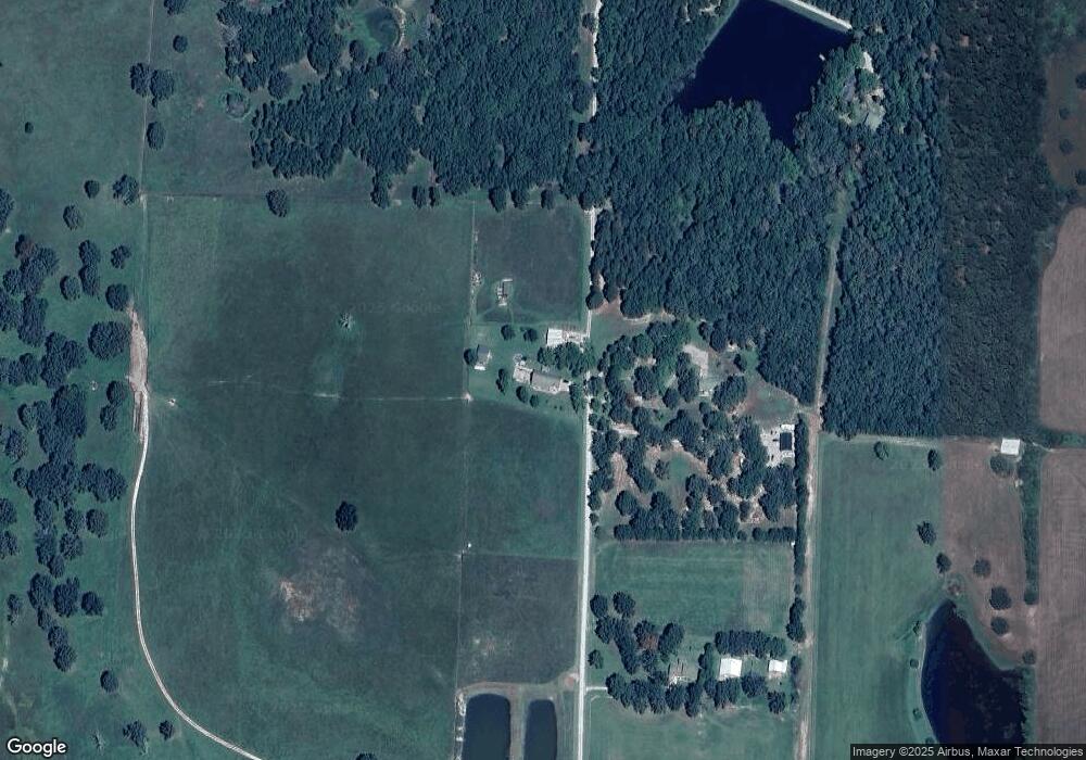
Map
Nearby Homes
- 0 State Route Jj
- 4388 Private Road 6314
- 4365 Private Road 6314
- 000 Private Road 8825
- 4359 U S 160
- 4427 County Road 6620
- 5019 Private Road 8948
- 4808 County Road 8940
- 9666 County Road 6070
- 10733 County Road 8070
- 000 Arrowhead Acres
- 0 Lanton Rd
- 5038 County Road 8940
- 000 County Road 8190
- 10567 County Road 8130
- 5714 Private Road 8072
- 1239 County Road 8620
- 000 Us Highway 160 W
- 11076 County Road 6230
- 1452 County Road 6310