465 Cat Square Rd Lincolnton, NC 28092
Estimated Value: $324,000 - $423,000
3
Beds
2
Baths
1,508
Sq Ft
$249/Sq Ft
Est. Value
About This Home
This home is located at 465 Cat Square Rd, Lincolnton, NC 28092 and is currently estimated at $375,880, approximately $249 per square foot. 465 Cat Square Rd is a home located in Lincoln County with nearby schools including Union Elementary School, West Lincoln Middle, and West Lincoln High School.
Ownership History
Date
Name
Owned For
Owner Type
Purchase Details
Closed on
Jul 8, 2021
Sold by
Lee Edmundson Hans
Bought by
Edmundson Hans Lee
Current Estimated Value
Purchase Details
Closed on
Apr 10, 2015
Sold by
Lovelace Ronald D
Bought by
Lovelace Ronald D and Edmundson Hans Lee
Purchase Details
Closed on
Jan 20, 2015
Sold by
Lovelace Sherry
Bought by
Lovelace Sherry and Lovelace Ronald D
Purchase Details
Closed on
Jul 14, 2014
Sold by
Lovelace Ronald D
Bought by
Edmundson Hans Lee
Create a Home Valuation Report for This Property
The Home Valuation Report is an in-depth analysis detailing your home's value as well as a comparison with similar homes in the area
Purchase History
| Date | Buyer | Sale Price | Title Company |
|---|---|---|---|
| Edmundson Hans Lee | -- | Thomas J Wilson Pa | |
| Edmundson Hans Lee | -- | None Listed On Document | |
| Lovelace Ronald D | -- | None Available | |
| Lovelace Sherry | -- | None Available | |
| Edmundson Hans Lee | -- | None Available |
Source: Public Records
Tax History
| Year | Tax Paid | Tax Assessment Tax Assessment Total Assessment is a certain percentage of the fair market value that is determined by local assessors to be the total taxable value of land and additions on the property. | Land | Improvement |
|---|---|---|---|---|
| 2025 | $1,736 | $296,483 | $33,762 | $262,721 |
| 2024 | $1,716 | $296,483 | $33,762 | $262,721 |
| 2023 | $1,711 | $296,483 | $33,762 | $262,721 |
| 2022 | $1,100 | $175,615 | $23,705 | $151,910 |
| 2021 | $1,100 | $175,615 | $23,705 | $151,910 |
| 2020 | $959 | $175,615 | $23,705 | $151,910 |
| 2019 | $1,039 | $175,615 | $23,705 | $151,910 |
| 2018 | $1,148 | $142,720 | $21,264 | $121,456 |
| 2017 | $1,047 | $142,720 | $21,264 | $121,456 |
| 2016 | $1,047 | $142,720 | $21,264 | $121,456 |
| 2015 | $1,109 | $142,720 | $21,264 | $121,456 |
| 2014 | $1,032 | $135,034 | $22,218 | $112,816 |
Source: Public Records
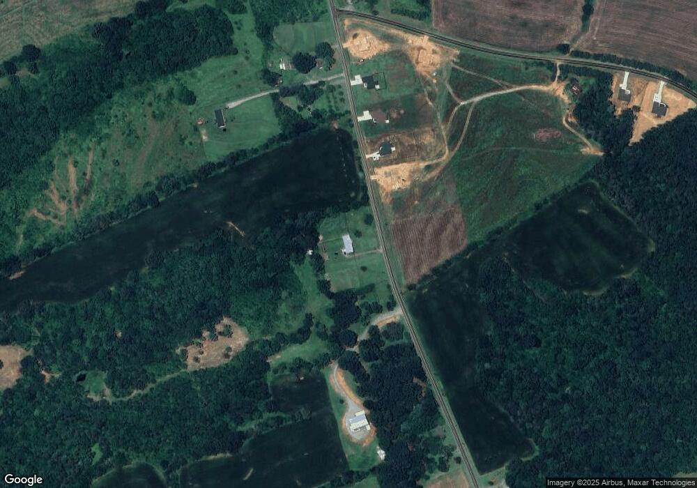
Map
Nearby Homes
- 3243 Wilson Ct Unit 11
- 00 Westwinds Rd Unit F3
- 00 Wilson Ct Unit 12
- 00 Wilson Ct Unit 13
- 00 Wilson Ct Unit 15
- 00 McCurry Farm Ln Unit F1, F2 & F3
- 00 McCurry Farm Ln Unit D
- 520 Shoal Rd
- 3987 W Highway 27
- 000 Doral Ln
- 4850 Gideon Dr
- 1784 Union Heights Ct
- 5159 Flay Rd
- 1855 Jetton Dr
- 7279 Blue Jay Ln
- 00 Deerwood Trail Unit 21
- 00 #24 Majestic Pine Dr Unit 24
- 5790 Summer Ln
- 00000 Reepsville Rd
- 000 Wells Rd
- 464 Cat Square Rd Unit 2
- 472 Cat Square Rd Unit 3
- 448 Cat Square Rd Unit 1
- 448 Cat Square Rd
- 492 Cat Square Rd
- 484 Cat Square Rd Unit 4
- 500 Cat Square Rd
- 533 Cat Square Rd
- 371 Cat Square Rd
- 429 Cat Square Rd
- 530 Cat Square Rd
- 00 Grigg Rd Unit 19
- 00 Grigg Rd
- 555 Cat Square Rd
- 519 Cat Square Rd
- 553 Cat Square Rd
- 5295 Grigg Rd
- 556 Cat Square Rd
- 330 Cat Square Rd
- 574 Cat Square Rd
Your Personal Tour Guide
Ask me questions while you tour the home.