465 Countryside Cir Santa Rosa, CA 95401
Copperfield NeighborhoodEstimated Value: $960,282 - $1,267,000
3
Beds
2
Baths
2,233
Sq Ft
$481/Sq Ft
Est. Value
About This Home
This home is located at 465 Countryside Cir, Santa Rosa, CA 95401 and is currently estimated at $1,074,821, approximately $481 per square foot. 465 Countryside Cir is a home located in Sonoma County with nearby schools including Elsie Allen High School, Wright Charter, and Oak Grove Elementary/Willowside Middle School.
Ownership History
Date
Name
Owned For
Owner Type
Purchase Details
Closed on
Mar 23, 1994
Sold by
Philipp Robert R and Philipp Joann L
Bought by
Philipp Robert R and Philipp Joann L
Current Estimated Value
Purchase Details
Closed on
Oct 6, 1993
Sold by
Gmac Mtg Corp Of Pa
Bought by
Philipp Robert R and Philipp Joann L
Home Financials for this Owner
Home Financials are based on the most recent Mortgage that was taken out on this home.
Original Mortgage
$100,000
Interest Rate
6.94%
Create a Home Valuation Report for This Property
The Home Valuation Report is an in-depth analysis detailing your home's value as well as a comparison with similar homes in the area
Home Values in the Area
Average Home Value in this Area
Purchase History
| Date | Buyer | Sale Price | Title Company |
|---|---|---|---|
| Philipp Robert R | -- | -- | |
| Philipp Robert R | $296,500 | North American Title Co Inc |
Source: Public Records
Mortgage History
| Date | Status | Borrower | Loan Amount |
|---|---|---|---|
| Previous Owner | Philipp Robert R | $100,000 |
Source: Public Records
Tax History Compared to Growth
Tax History
| Year | Tax Paid | Tax Assessment Tax Assessment Total Assessment is a certain percentage of the fair market value that is determined by local assessors to be the total taxable value of land and additions on the property. | Land | Improvement |
|---|---|---|---|---|
| 2025 | $5,883 | $523,112 | $210,250 | $312,862 |
| 2024 | $5,883 | $512,856 | $206,128 | $306,728 |
| 2023 | $5,883 | $502,801 | $202,087 | $300,714 |
| 2022 | $5,548 | $492,943 | $198,125 | $294,818 |
| 2021 | $5,446 | $483,279 | $194,241 | $289,038 |
| 2020 | $5,425 | $478,325 | $192,250 | $286,075 |
| 2019 | $5,375 | $468,947 | $188,481 | $280,466 |
| 2018 | $5,333 | $459,753 | $184,786 | $274,967 |
| 2017 | $5,222 | $450,739 | $181,163 | $269,576 |
| 2016 | $5,176 | $441,902 | $177,611 | $264,291 |
| 2015 | $5,009 | $435,266 | $174,944 | $260,322 |
| 2014 | $4,821 | $426,741 | $171,518 | $255,223 |
Source: Public Records
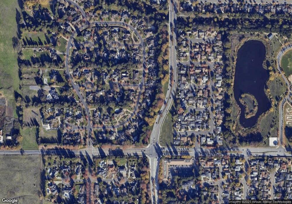
Map
Nearby Homes
- 167 Sequoia Cir
- 2484 College Park Cir
- 2467 College Park Cir
- 438 Rusty Dr
- 66 Somerset Dr
- 2400 Valley Dr W
- 141 Stratford Way
- 2353 Hood Ct
- 142 Coronation Dr
- 2291 Truckee Dr
- 2333 Pacheco Place
- 1380 Velma Ave
- 2344 Donahue Ave
- 234 Arboleda Dr
- 91 Westgate Cir
- 213 Monarch Ct
- 337 Westmont Place
- 415 Occidental Cir
- 1532 Pinebrook Place
- 1507 Pinebrook Place
- 463 Countryside Cir
- 467 Countryside Cir
- 464 Countryside Cir
- 459 Countryside Cir
- 469 Countryside Cir
- 462 Appaloosa Ct
- 468 Countryside Cir
- 452 Countryside Cir
- 455 Countryside Cir
- 454 Appaloosa Ct
- 471 Countryside Cir
- 669 Camino Ct
- 460 Appaloosa Ct
- 671 Camino Ct
- 667 Camino Ct
- 685 Dixon Ct
- 651 Echo Lake Ct
- 453 Countryside Cir
- 687 Dixon Ct
- 456 Appaloosa Ct