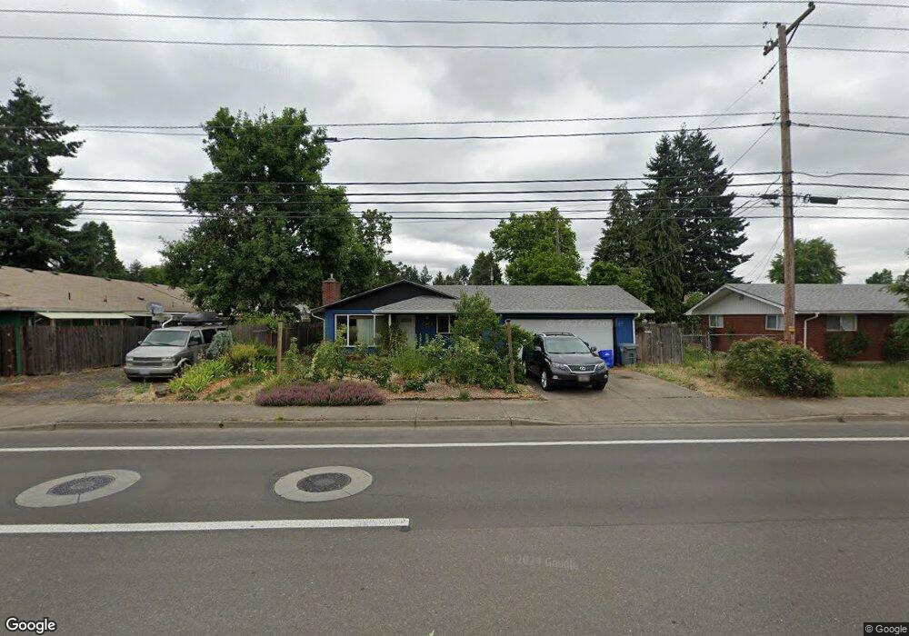
465 Maxwell Rd Eugene, OR 97404
River Road NeighborhoodEstimated Value: $367,000 - $386,000
3
Beds
1
Bath
1,056
Sq Ft
$356/Sq Ft
Est. Value
About This Home
This home is located at 465 Maxwell Rd, Eugene, OR 97404 and is currently estimated at $376,274, approximately $356 per square foot. 465 Maxwell Rd is a home located in Lane County with nearby schools including Howard Elementary School, Kelly Middle School, and North Eugene High School.
Ownership History
Date
Name
Owned For
Owner Type
Purchase Details
Closed on
Feb 17, 2021
Sold by
Zacharek Tyler S and Zacharek Lorien B
Bought by
Zacharek Tyler S and Zacharek Lorien B
Current Estimated Value
Home Financials for this Owner
Home Financials are based on the most recent Mortgage that was taken out on this home.
Original Mortgage
$116,500
Outstanding Balance
$94,553
Interest Rate
2.65%
Mortgage Type
New Conventional
Estimated Equity
$281,721
Purchase Details
Closed on
Dec 10, 2009
Sold by
Amber Keith R and Amber Catherine Hunt
Bought by
Zacharek Tyler S and Carrell Lorien B
Home Financials for this Owner
Home Financials are based on the most recent Mortgage that was taken out on this home.
Original Mortgage
$139,925
Interest Rate
5.01%
Mortgage Type
FHA
Create a Home Valuation Report for This Property
The Home Valuation Report is an in-depth analysis detailing your home's value as well as a comparison with similar homes in the area
Home Values in the Area
Average Home Value in this Area
Purchase History
| Date | Buyer | Sale Price | Title Company |
|---|---|---|---|
| Zacharek Tyler S | -- | Fidelity Natl Ttl Co Of Or | |
| Zacharek Tyler S | $145,000 | Western Title |
Source: Public Records
Mortgage History
| Date | Status | Borrower | Loan Amount |
|---|---|---|---|
| Open | Zacharek Tyler S | $116,500 | |
| Closed | Zacharek Tyler S | $139,925 |
Source: Public Records
Tax History
| Year | Tax Paid | Tax Assessment Tax Assessment Total Assessment is a certain percentage of the fair market value that is determined by local assessors to be the total taxable value of land and additions on the property. | Land | Improvement |
|---|---|---|---|---|
| 2025 | $2,974 | $177,041 | -- | -- |
| 2024 | $2,942 | $171,885 | -- | -- |
| 2023 | $2,942 | $166,879 | $0 | $0 |
| 2022 | $2,767 | $162,019 | $0 | $0 |
| 2021 | $2,573 | $157,300 | $0 | $0 |
| 2020 | $2,592 | $152,719 | $0 | $0 |
| 2019 | $2,500 | $148,271 | $0 | $0 |
| 2018 | $2,332 | $139,760 | $0 | $0 |
| 2017 | $2,246 | $139,760 | $0 | $0 |
| 2016 | $2,121 | $135,689 | $0 | $0 |
| 2015 | $2,039 | $131,737 | $0 | $0 |
| 2014 | $2,026 | $127,900 | $0 | $0 |
Source: Public Records
Map
Nearby Homes
- 389 Maxwell Rd
- 1880 Manihi Dr
- 1566 Maywood Ave
- 1682 Hemlock St
- 1755 Brentwood Ave
- 1487 Barton St
- 1483 Barton St
- 401 Sterling Dr
- 1314 Dalton Dr
- 1420 Evergreen Dr
- 1360 Andersen Ln
- 2439 Quince St
- 303 Lenore Loop
- 154 Norman Ave
- 172 Norman Ave
- 193 Santa Clara Ave
- 315 Heritage Ave
- 541 Durham Ave
- 1010 Horn Ln
- 215 Jonquil Ave
- 1715 Dalton Dr
- 455 Maxwell Rd
- 1710 Escalante St
- 1737 Dalton Dr
- 1726 Escalante St
- 1759 Dalton Dr
- 438 Maxwell Rd
- 1710 Dalton Dr
- 1740 Dalton Dr
- 447 Maxwell Rd
- 1725 Escalante St
- 1680 Dalton Dr
- 470 Hamilton Ave
- 1670 Dalton Dr
- 440 Maxwell Rd
- 1783 Dalton Dr
- 1741 Escalante St
- 1764 Escalante St
- 525 Maxwell Rd
- 1725 Oak Dr
Your Personal Tour Guide
Ask me questions while you tour the home.