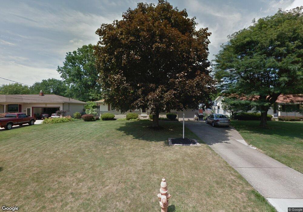
4656 Driftwood Ln Youngstown, OH 44515
Austintown NeighborhoodEstimated Value: $162,546 - $196,000
3
Beds
1
Bath
1,040
Sq Ft
$176/Sq Ft
Est. Value
About This Home
This home is located at 4656 Driftwood Ln, Youngstown, OH 44515 and is currently estimated at $182,637, approximately $175 per square foot. 4656 Driftwood Ln is a home located in Mahoning County with nearby schools including Austintown Elementary School, Austintown Intermediate School, and Austintown Middle School.
Ownership History
Date
Name
Owned For
Owner Type
Purchase Details
Closed on
Aug 26, 1996
Sold by
Forst Brian C
Bought by
Mattiussi Richard A and Mattiussi Lisa A
Current Estimated Value
Home Financials for this Owner
Home Financials are based on the most recent Mortgage that was taken out on this home.
Original Mortgage
$66,300
Outstanding Balance
$5,830
Interest Rate
8.47%
Mortgage Type
New Conventional
Estimated Equity
$176,807
Purchase Details
Closed on
Jun 28, 1991
Bought by
Frost Brian and Frost Tonya
Create a Home Valuation Report for This Property
The Home Valuation Report is an in-depth analysis detailing your home's value as well as a comparison with similar homes in the area
Home Values in the Area
Average Home Value in this Area
Purchase History
| Date | Buyer | Sale Price | Title Company |
|---|---|---|---|
| Mattiussi Richard A | $78,000 | -- | |
| Frost Brian | $60,500 | -- |
Source: Public Records
Mortgage History
| Date | Status | Borrower | Loan Amount |
|---|---|---|---|
| Open | Mattiussi Richard A | $66,300 |
Source: Public Records
Tax History Compared to Growth
Tax History
| Year | Tax Paid | Tax Assessment Tax Assessment Total Assessment is a certain percentage of the fair market value that is determined by local assessors to be the total taxable value of land and additions on the property. | Land | Improvement |
|---|---|---|---|---|
| 2024 | $1,957 | $42,740 | $7,560 | $35,180 |
| 2023 | $1,927 | $42,740 | $7,560 | $35,180 |
| 2022 | $1,653 | $29,390 | $6,760 | $22,630 |
| 2021 | $1,653 | $29,390 | $6,760 | $22,630 |
| 2020 | $1,660 | $29,390 | $6,760 | $22,630 |
| 2019 | $1,600 | $25,780 | $5,930 | $19,850 |
| 2018 | $1,539 | $25,780 | $5,930 | $19,850 |
| 2017 | $1,536 | $25,780 | $5,930 | $19,850 |
| 2016 | $1,480 | $24,590 | $6,670 | $17,920 |
| 2015 | $1,435 | $24,590 | $6,670 | $17,920 |
| 2014 | $1,441 | $24,590 | $6,670 | $17,920 |
| 2013 | $1,426 | $24,590 | $6,670 | $17,920 |
Source: Public Records
Map
Nearby Homes
- 1439 Bexley Dr
- 2063 Woodland Trace
- 2414 Ardenwood Place
- 2493 Frostwood Dr
- 1707 Westhampton Dr
- 2211 Penny Ln
- 4674 Barrington Dr
- 2388 Innwood Dr
- 4262 Pembrook Rd
- 4289 Wedgewood Dr
- 4234 Burkey Rd
- 40 Woodleigh Ct
- 5256 S Saratoga Ave
- 4235 Patricia Ave
- 4241 Wedgewood Dr
- 5179 Willow Crest Ave
- 603 S Raccoon Rd Unit 9
- 603 S Raccoon Rd Unit 14
- 603 S Raccoon Rd Unit 61
- 4102 Burkey Rd
- 4646 Driftwood Ln
- 4666 Driftwood Ln
- 4638 Driftwood Ln
- 4669 Westwood Dr
- 4686 Driftwood Ln
- 4661 Westwood Dr
- 4677 Westwood Dr
- 4653 Westwood Dr
- 4655 Driftwood Ln
- 4685 Westwood Dr
- 4636 Driftwood Ln
- 4645 Driftwood Ln
- 4696 Driftwood Ln
- 4665 Driftwood Ln
- 4637 Driftwood Ln
- 4685 Driftwood Ln
- 4645 Westwood Dr
- 4695 Westwood Dr
- 4632 Driftwood Ln
- 4702 Driftwood Ln