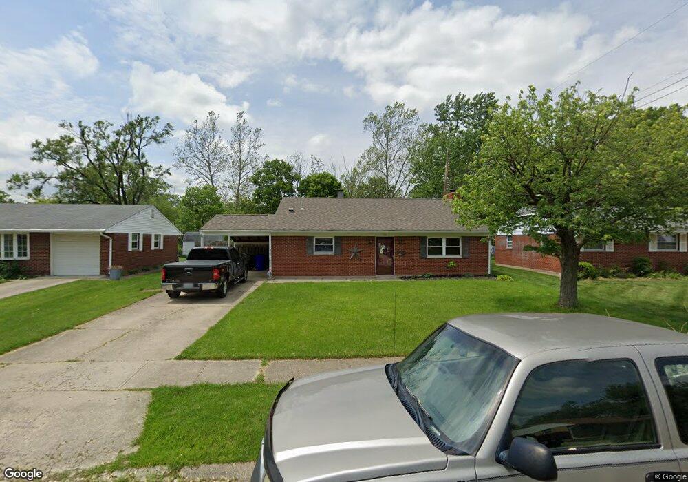
466 Warr Ln Hamilton, OH 45013
Estimated Value: $186,000 - $234,166
3
Beds
2
Baths
1,064
Sq Ft
$192/Sq Ft
Est. Value
About This Home
This home is located at 466 Warr Ln, Hamilton, OH 45013 and is currently estimated at $204,042, approximately $191 per square foot. 466 Warr Ln is a home located in Butler County with nearby schools including Brookwood Elementary School, Wilson Middle School, and Hamilton High School Main Campus.
Ownership History
Date
Name
Owned For
Owner Type
Purchase Details
Closed on
Jul 27, 2004
Sold by
Ledford Timothy L and Ledford Naomi D
Bought by
Kraft Christina A
Current Estimated Value
Home Financials for this Owner
Home Financials are based on the most recent Mortgage that was taken out on this home.
Original Mortgage
$95,600
Outstanding Balance
$48,473
Interest Rate
6.34%
Mortgage Type
Purchase Money Mortgage
Estimated Equity
$155,569
Purchase Details
Closed on
Apr 1, 1993
Purchase Details
Closed on
Mar 1, 1988
Create a Home Valuation Report for This Property
The Home Valuation Report is an in-depth analysis detailing your home's value as well as a comparison with similar homes in the area
Home Values in the Area
Average Home Value in this Area
Purchase History
| Date | Buyer | Sale Price | Title Company |
|---|---|---|---|
| Kraft Christina A | $119,500 | -- | |
| -- | $64,000 | -- | |
| -- | $53,600 | -- |
Source: Public Records
Mortgage History
| Date | Status | Borrower | Loan Amount |
|---|---|---|---|
| Open | Kraft Christina A | $95,600 | |
| Closed | Kraft Christina A | $23,900 |
Source: Public Records
Tax History Compared to Growth
Tax History
| Year | Tax Paid | Tax Assessment Tax Assessment Total Assessment is a certain percentage of the fair market value that is determined by local assessors to be the total taxable value of land and additions on the property. | Land | Improvement |
|---|---|---|---|---|
| 2024 | $2,499 | $59,220 | $8,870 | $50,350 |
| 2023 | $2,487 | $60,110 | $8,870 | $51,240 |
| 2022 | $1,970 | $39,630 | $8,870 | $30,760 |
| 2021 | $1,736 | $38,340 | $8,870 | $29,470 |
| 2020 | $1,809 | $38,340 | $8,870 | $29,470 |
| 2019 | $2,675 | $36,530 | $8,390 | $28,140 |
| 2018 | $1,698 | $36,530 | $8,390 | $28,140 |
| 2017 | $1,713 | $36,530 | $8,390 | $28,140 |
| 2016 | $1,633 | $33,190 | $8,390 | $24,800 |
| 2015 | $1,624 | $33,190 | $8,390 | $24,800 |
| 2014 | $1,404 | $33,190 | $8,390 | $24,800 |
| 2013 | $1,404 | $30,560 | $8,390 | $22,170 |
Source: Public Records
Map
Nearby Homes
- 411 Smalley Blvd
- 413 Smalley Blvd
- 399 Rockford Dr
- 419 Smalley Blvd
- 339 Hartford Dr
- 124 Twinbrook Dr
- 238 Twinbrook Dr
- 43 Thornhill Dr
- 465 Smalley Blvd
- 500 Smalley Blvd
- 2073 Sunset Dr
- 65 W Persimmon Dr
- 781 Springvale Dr
- 501 Gorham Dr
- 1281 Millville Ave
- 1842 Del Rio Dr
- 1241 Millville Ave
- 16 Rockford Dr
- 1808 Amarillo Dr
- 7 Victor Ct