Estimated Value: $312,000 - $805,814
2
Beds
1
Bath
720
Sq Ft
$787/Sq Ft
Est. Value
About This Home
This home is located at 4662 Moccasin Point Rd, Tower, MN 55790 and is currently estimated at $566,704, approximately $787 per square foot. 4662 Moccasin Point Rd is a home located in St. Louis County with nearby schools including Tower-Soudan Elementary School.
Ownership History
Date
Name
Owned For
Owner Type
Purchase Details
Closed on
Jun 16, 2021
Sold by
Nelson Craig P and Nelson Brenley
Bought by
Nelson Craig P and Nelson Brenley
Current Estimated Value
Purchase Details
Closed on
Jun 24, 2002
Sold by
Nelson James D and Nelson Diane L
Bought by
Clifford Gary C and Clifford Rebecca N
Home Financials for this Owner
Home Financials are based on the most recent Mortgage that was taken out on this home.
Original Mortgage
$200,000
Interest Rate
6.5%
Mortgage Type
Seller Take Back
Create a Home Valuation Report for This Property
The Home Valuation Report is an in-depth analysis detailing your home's value as well as a comparison with similar homes in the area
Purchase History
| Date | Buyer | Sale Price | Title Company |
|---|---|---|---|
| Nelson Craig P | -- | None Available | |
| Clifford Gary C | $200,000 | -- |
Source: Public Records
Mortgage History
| Date | Status | Borrower | Loan Amount |
|---|---|---|---|
| Closed | Clifford Gary C | $200,000 |
Source: Public Records
Tax History
| Year | Tax Paid | Tax Assessment Tax Assessment Total Assessment is a certain percentage of the fair market value that is determined by local assessors to be the total taxable value of land and additions on the property. | Land | Improvement |
|---|---|---|---|---|
| 2024 | $4,500 | $614,300 | $311,200 | $303,100 |
| 2023 | $4,500 | $588,100 | $297,300 | $290,800 |
| 2022 | $4,636 | $576,500 | $285,700 | $290,800 |
| 2021 | $4,216 | $476,600 | $244,000 | $232,600 |
| 2020 | $4,056 | $446,700 | $244,000 | $202,700 |
| 2019 | $3,968 | $421,400 | $244,000 | $177,400 |
| 2018 | $3,836 | $420,900 | $243,500 | $177,400 |
| 2017 | $3,728 | $402,800 | $243,600 | $159,200 |
| 2016 | $3,810 | $402,800 | $243,600 | $159,200 |
| 2015 | $4,380 | $430,000 | $228,100 | $201,900 |
| 2014 | $4,380 | $430,000 | $228,100 | $201,900 |
Source: Public Records
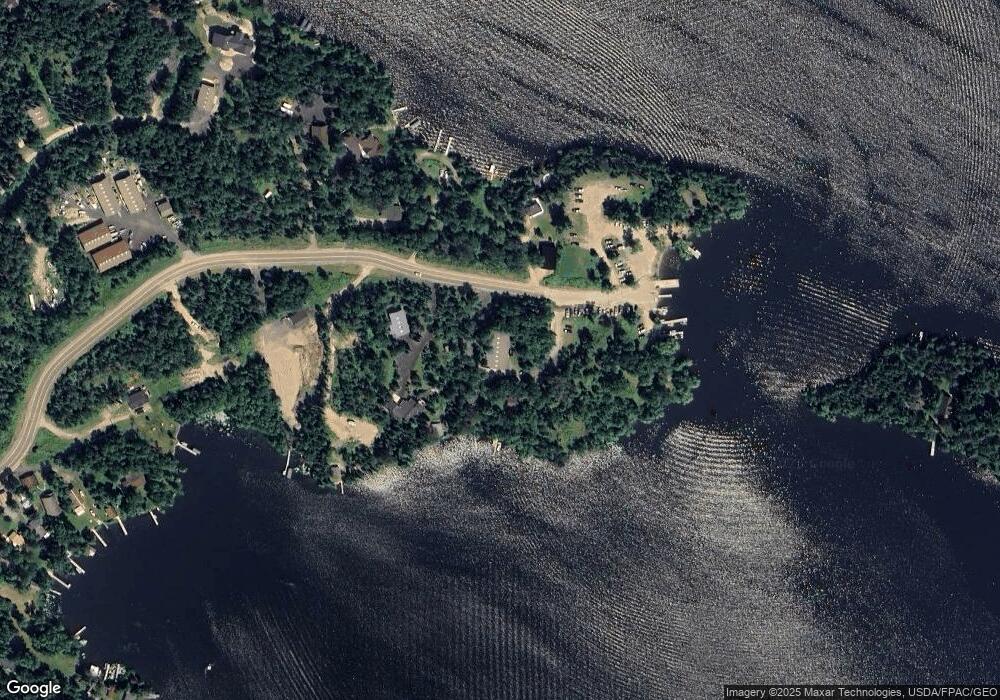
Map
Nearby Homes
- 4512 Serenity Point Rd
- 95150 Bystrom Bay
- 0000 County Highway 77
- 0012 Fectos Rd
- 0000 Fectos Rd
- PARCEL D Fectos Rd
- 3506 Fectos Rd
- 3739 Sundling Rd
- 3504 Fectos Rd
- 3779 Sundling Rd
- 2001 A&B Bayview Dr
- 2001 A&B Bayview Rd
- 3300 Breezy Point Rd
- TBD Parcel S Thomas Rd
- Parcel 2 TBD Hwy 115
- Parcel 8 TBD Hwy 115
- Parcel 7 TBD Hwy 115
- Parcel 10 TBD Hwy 115
- Parcel 3 TBD Hwy 115
- Parcel 9 TBD Hwy 115
- 4662 Moccasin Point Rd
- 4662 Moccasin Point Rd
- 4777 4777 Moccasin Point Rd
- 4777 Moccasin Point Rd
- Lot 4, Blk Moccasin Pt Rd
- XXXX Moccasin Point Rd
- Lot 3, Blk Moccasin Pt Rd
- Lot 2 Moccasin Point Rd
- 4644 Moccasin Point Rd
- Lots 1 and 2 Moccasin Point Rd
- Lots 1 and Moccasin Point Rd
- Lot 1 Moccasin Point Rd
- 95330 Grove Island
- 95330 Grove Island
- 4796 Partridge Dr
- 4638 Moccasin Point Rd
- 4638 Moccasin Point Rd
- 4638 Moccasin Point Rd
- 4792 Partridge Dr
- 4523 Wilson Point Rd
Your Personal Tour Guide
Ask me questions while you tour the home.