467 Thurman Rd Stockbridge, GA 30281
Estimated Value: $277,089 - $321,000
3
Beds
2
Baths
1,549
Sq Ft
$191/Sq Ft
Est. Value
About This Home
This home is located at 467 Thurman Rd, Stockbridge, GA 30281 and is currently estimated at $295,272, approximately $190 per square foot. 467 Thurman Rd is a home located in Henry County with nearby schools including Cotton Indian Elementary School, Austin Road Middle School, and Stockbridge High School.
Ownership History
Date
Name
Owned For
Owner Type
Purchase Details
Closed on
Mar 20, 2009
Sold by
Walden Traci B
Bought by
Ford Clifton A
Current Estimated Value
Home Financials for this Owner
Home Financials are based on the most recent Mortgage that was taken out on this home.
Original Mortgage
$168,547
Outstanding Balance
$107,173
Interest Rate
5.13%
Mortgage Type
VA
Estimated Equity
$188,099
Create a Home Valuation Report for This Property
The Home Valuation Report is an in-depth analysis detailing your home's value as well as a comparison with similar homes in the area
Home Values in the Area
Average Home Value in this Area
Purchase History
| Date | Buyer | Sale Price | Title Company |
|---|---|---|---|
| Ford Clifton A | $165,000 | -- | |
| Walden Traci B | -- | -- |
Source: Public Records
Mortgage History
| Date | Status | Borrower | Loan Amount |
|---|---|---|---|
| Open | Walden Traci B | $168,547 |
Source: Public Records
Tax History Compared to Growth
Tax History
| Year | Tax Paid | Tax Assessment Tax Assessment Total Assessment is a certain percentage of the fair market value that is determined by local assessors to be the total taxable value of land and additions on the property. | Land | Improvement |
|---|---|---|---|---|
| 2025 | $4,958 | $124,404 | $18,000 | $106,404 |
| 2024 | $4,958 | $112,480 | $16,200 | $96,280 |
| 2023 | $4,094 | $105,680 | $15,600 | $90,080 |
| 2022 | $3,202 | $82,440 | $14,400 | $68,040 |
| 2021 | $2,434 | $62,400 | $12,360 | $50,040 |
| 2020 | $2,265 | $58,000 | $11,640 | $46,360 |
| 2019 | $2,157 | $55,200 | $11,040 | $44,160 |
| 2018 | $1,837 | $46,840 | $10,200 | $36,640 |
| 2016 | $1,625 | $41,320 | $9,000 | $32,320 |
| 2015 | $1,468 | $36,120 | $10,360 | $25,760 |
| 2014 | $1,375 | $33,360 | $10,360 | $23,000 |
Source: Public Records
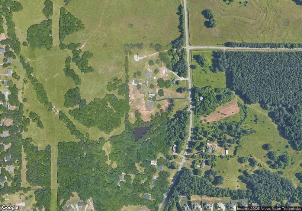
Map
Nearby Homes
- 491 Thurman Rd Unit TRACT C
- 565 Patillo Rd
- 562 Patillo Rd
- 145 Glenloch Pkwy
- 300 Redford Trail
- 453 Azalea Dr
- 230 Flintlock Trail
- 389 Young James Cir
- 393 Young James Cir
- 1773 E Atlanta Rd
- 418 Honeysuckle Ln
- 40 Lake Ct
- 219 Thorncrest
- 111 Audubon Pkwy
- 20 Lamp Post Ct
- 90 Country Roads Dr
- 1080 Gardner Rd
- 208 Pauline Place
- 106 Bob White Dr
- 491 Thurman Rd
- 455 Thurman Rd
- 103 Walden Way Unit 2
- 490 Thurman Rd Unit LOT 02
- 405 Thurman Rd
- 442 Thurman Rd
- 460 Thurman Rd Unit LOT 01
- 385 Thurman Rd
- 667 Patillo Rd Unit LOT 06
- 355 Thurman Rd
- 378 Thurman Rd
- 175 Walden Way
- 345 Thurman Rd Unit 3
- 0 Thurman Rd Unit 8084883
- 0 Thurman Rd Unit 8067990
- 0 Thurman Rd Unit 8688059
- 0 Thurman Rd Unit 8031513
- 0 Thurman Rd Unit 7542501
- 0 Thurman Rd Unit 7145813
- 0 Thurman Rd Unit 9057702