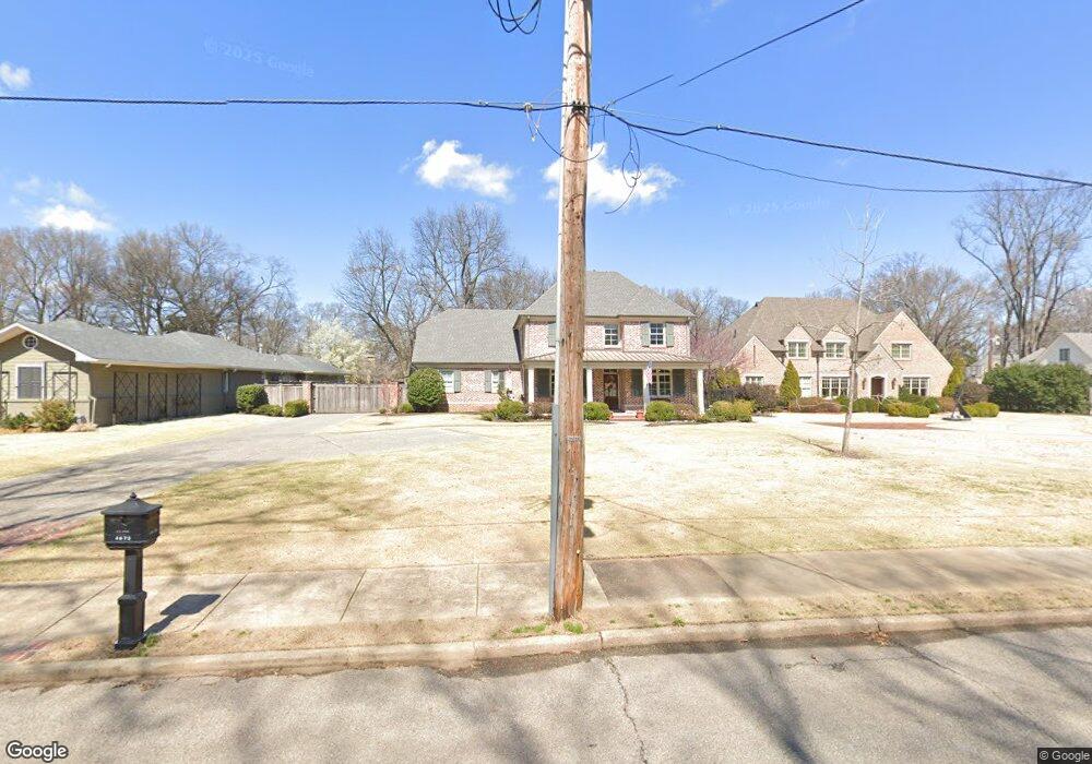
4672 Barfield Rd Memphis, TN 38117
Audubon Park NeighborhoodEstimated Value: $861,000 - $1,006,000
4
Beds
3
Baths
4,164
Sq Ft
$229/Sq Ft
Est. Value
About This Home
This home is located at 4672 Barfield Rd, Memphis, TN 38117 and is currently estimated at $952,098, approximately $228 per square foot. 4672 Barfield Rd is a home located in Shelby County with nearby schools including White Station Elementary School, White Station High, and White Station Middle.
Ownership History
Date
Name
Owned For
Owner Type
Purchase Details
Closed on
Mar 7, 2014
Sold by
Chancellor Jeanne Fraser
Bought by
Stokes Robert B and Stokes Margaret D
Current Estimated Value
Home Financials for this Owner
Home Financials are based on the most recent Mortgage that was taken out on this home.
Original Mortgage
$600,000
Outstanding Balance
$456,328
Interest Rate
4.43%
Mortgage Type
Construction
Estimated Equity
$495,770
Purchase Details
Closed on
Apr 20, 2000
Sold by
Powers Powers N and Powers Eleanor P
Bought by
Chancellor Jeanne Fraser and Jeanne Fraser Chancellor Living Trust
Create a Home Valuation Report for This Property
The Home Valuation Report is an in-depth analysis detailing your home's value as well as a comparison with similar homes in the area
Home Values in the Area
Average Home Value in this Area
Purchase History
| Date | Buyer | Sale Price | Title Company |
|---|---|---|---|
| Stokes Robert B | $200,000 | Mid South Title Services Llc | |
| Chancellor Jeanne Fraser | $155,000 | -- |
Source: Public Records
Mortgage History
| Date | Status | Borrower | Loan Amount |
|---|---|---|---|
| Open | Stokes Robert B | $600,000 |
Source: Public Records
Tax History Compared to Growth
Tax History
| Year | Tax Paid | Tax Assessment Tax Assessment Total Assessment is a certain percentage of the fair market value that is determined by local assessors to be the total taxable value of land and additions on the property. | Land | Improvement |
|---|---|---|---|---|
| 2025 | $6,809 | $265,250 | $81,950 | $183,300 |
| 2024 | $6,809 | $200,850 | $81,950 | $118,900 |
| 2023 | $12,235 | $200,850 | $81,950 | $118,900 |
| 2022 | $12,235 | $200,850 | $81,950 | $118,900 |
| 2021 | $12,378 | $200,850 | $81,950 | $118,900 |
| 2020 | $11,873 | $163,850 | $81,950 | $81,900 |
| 2019 | $11,873 | $163,850 | $81,950 | $81,900 |
| 2018 | $11,873 | $163,850 | $81,950 | $81,900 |
| 2017 | $6,734 | $163,850 | $81,950 | $81,900 |
| 2016 | $6,718 | $153,725 | $0 | $0 |
| 2014 | $3,013 | $80,525 | $0 | $0 |
Source: Public Records
Map
Nearby Homes
- 4723 Normandy Ln
- 4798 Normandy Ln
- 4640 Chickasaw Rd
- 4679 Walnut Grove Rd
- 4501 Minden Rd
- 352 Avon Rd
- 131 N Mendenhall Rd
- 4737 Sequoia Rd
- 69 Goodway Ln
- 4730 Sequoia Rd
- 4578 Sequoia Rd
- 4525 Sequoia Rd
- 180 Waring Rd
- 150 Waring Rd
- 4956 Robindale Ln
- 137 Perkins Extension
- 105 Grove Park Cir
- 455 Oma Cove
- 459 Oma Cove
- 4980 Barfield Rd
- 4656 Barfield Rd
- 4682 Barfield Rd
- 4646 Barfield Rd
- 4690 Barfield Rd
- 4661 Barfield Rd
- 4649 Barfield Rd
- 4679 Barfield Rd
- 4632 Barfield Rd
- 178 Perkins Extension
- 4691 Barfield Rd
- 4641 Barfield Rd
- 4655 Perkins Manor Cove
- 4704 Barfield Rd
- 4635 Barfield Rd
- 4701 Barfield Rd
- 4639 Perkins Manor Cove
- 4714 Barfield Rd
- 160 Perkins Extension
- 4660 Normandy Ave
- 172 Perkins Extension