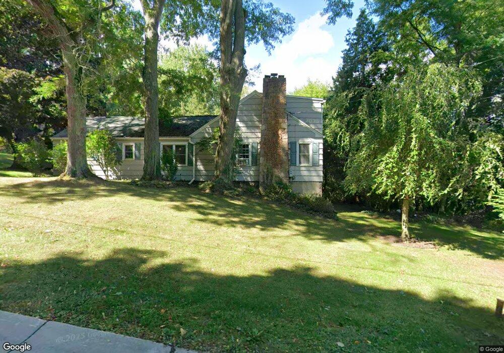
4672 Day Rd Lockport, NY 14094
Estimated Value: $379,000 - $471,000
5
Beds
3
Baths
2,876
Sq Ft
$145/Sq Ft
Est. Value
About This Home
This home is located at 4672 Day Rd, Lockport, NY 14094 and is currently estimated at $417,458, approximately $145 per square foot. 4672 Day Rd is a home located in Niagara County with nearby schools including Aaron Mossell Junior High School, Lockport High School, and DeSales Catholic School.
Ownership History
Date
Name
Owned For
Owner Type
Purchase Details
Closed on
Oct 24, 1994
Sold by
Senft Lester G-Peggy R
Bought by
Batt Carl J-Jeanette M
Current Estimated Value
Create a Home Valuation Report for This Property
The Home Valuation Report is an in-depth analysis detailing your home's value as well as a comparison with similar homes in the area
Home Values in the Area
Average Home Value in this Area
Purchase History
| Date | Buyer | Sale Price | Title Company |
|---|---|---|---|
| Batt Carl J-Jeanette M | $120,000 | -- |
Source: Public Records
Tax History
| Year | Tax Paid | Tax Assessment Tax Assessment Total Assessment is a certain percentage of the fair market value that is determined by local assessors to be the total taxable value of land and additions on the property. | Land | Improvement |
|---|---|---|---|---|
| 2024 | $7,752 | $315,000 | $43,500 | $271,500 |
| 2023 | $7,287 | $286,000 | $34,800 | $251,200 |
| 2022 | $6,999 | $260,000 | $34,800 | $225,200 |
| 2021 | $6,914 | $205,000 | $25,100 | $179,900 |
| 2020 | $5,865 | $205,000 | $25,100 | $179,900 |
| 2019 | $3,465 | $195,000 | $25,100 | $169,900 |
| 2018 | $5,370 | $173,600 | $25,100 | $148,500 |
| 2017 | $5,459 | $173,600 | $25,100 | $148,500 |
| 2016 | $4,862 | $155,000 | $25,100 | $129,900 |
| 2015 | -- | $155,000 | $25,100 | $129,900 |
| 2014 | -- | $148,200 | $23,700 | $124,500 |
Source: Public Records
Map
Nearby Homes
- 7100 Fieldcrest Dr
- 4821 Cambridge Dr Unit G
- 4850 Waterford Place
- 4883 Waterford Place
- 13 Standish Rd
- 7338 Rochester Rd
- 42 Beverly Ave
- 46 Beverly Ave
- 120 Autumnvale Dr
- 459 East Ave
- 1 Bewley Pkwy
- 20 Morton Ave
- 603 Walnut St
- 1 The Common
- 82 Lake Ave
- 6836 E High St
- 6761 E High St
- 7052 E High St
- 7003 James Francis
- 7043 James Francis
- 4716 Day Rd
- 4688 Day Rd
- 4666 Day Rd
- 4685 Day Rd
- 6991 Chestnut Ridge Rd
- 6995 Chestnut Ridge Rd
- 4660 Day Rd
- 6987 Chestnut Ridge Rd
- 4651 Day Rd
- 6983 Chestnut Ridge Rd
- 7027 Chestnut Ridge Rd
- 4648 Day Rd
- 6975 Chestnut Ridge Rd
- 4643 Day Rd
- 6996 Chestnut Ridge Rd
- 7028 Chestnut Ridge Rd
- 4639 Day Rd
- 6980 Chestnut Ridge Rd
- 7032 Chestnut Ridge Rd
- 4634 Day Rd
Your Personal Tour Guide
Ask me questions while you tour the home.