4678 Elevation Rd Benson, NC 27504
Elevation NeighborhoodEstimated Value: $458,000 - $504,000
4
Beds
4
Baths
3,532
Sq Ft
$139/Sq Ft
Est. Value
About This Home
This home is located at 4678 Elevation Rd, Benson, NC 27504 and is currently estimated at $489,435, approximately $138 per square foot. 4678 Elevation Rd is a home located in Johnston County with nearby schools including Benson Elementary School, Benson Middle School, and South Johnston High School.
Ownership History
Date
Name
Owned For
Owner Type
Purchase Details
Closed on
Aug 11, 2016
Sold by
Parente Louis V and Parente Joanna G
Bought by
Haley Donald and Hall Joy Jessica
Current Estimated Value
Home Financials for this Owner
Home Financials are based on the most recent Mortgage that was taken out on this home.
Original Mortgage
$272,791
Outstanding Balance
$213,607
Interest Rate
3.25%
Mortgage Type
FHA
Estimated Equity
$275,828
Create a Home Valuation Report for This Property
The Home Valuation Report is an in-depth analysis detailing your home's value as well as a comparison with similar homes in the area
Home Values in the Area
Average Home Value in this Area
Purchase History
| Date | Buyer | Sale Price | Title Company |
|---|---|---|---|
| Haley Donald | -- | None Available | |
| Haley Donald | $278,000 | None Available |
Source: Public Records
Mortgage History
| Date | Status | Borrower | Loan Amount |
|---|---|---|---|
| Open | Haley Donald | $272,791 |
Source: Public Records
Tax History
| Year | Tax Paid | Tax Assessment Tax Assessment Total Assessment is a certain percentage of the fair market value that is determined by local assessors to be the total taxable value of land and additions on the property. | Land | Improvement |
|---|---|---|---|---|
| 2025 | $2,743 | $432,020 | $54,000 | $378,020 |
| 2024 | $2,194 | $270,920 | $25,200 | $245,720 |
| 2023 | $2,140 | $270,920 | $25,200 | $245,720 |
| 2022 | $2,249 | $270,920 | $25,200 | $245,720 |
| 2021 | $2,249 | $270,920 | $25,200 | $245,720 |
| 2020 | $2,330 | $270,920 | $25,200 | $245,720 |
| 2019 | $2,330 | $270,920 | $25,200 | $245,720 |
| 2018 | $2,022 | $229,750 | $19,700 | $210,050 |
| 2017 | $2,022 | $229,750 | $19,700 | $210,050 |
| 2016 | $2,022 | $229,750 | $19,700 | $210,050 |
| 2014 | $1,885 | $214,200 | $19,700 | $194,500 |
Source: Public Records
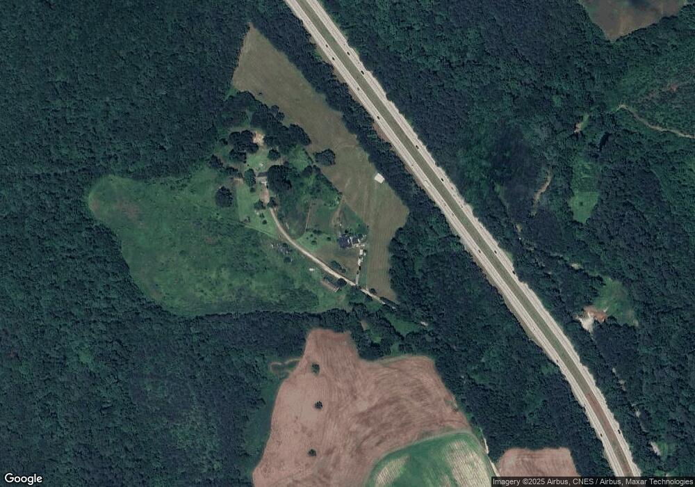
Map
Nearby Homes
- 8234 Elevation Rd
- 127 Sherrill Farm Dr
- 130 Tulipfield Way
- 191 Belmont Farms Dr
- 6441 Elevation Rd
- 6425 Elevation Rd
- 209 E American Marigold Dr Unit 44
- 209 E American Marigold Dr
- 69 White Azalea Way
- 69-81 White Azalea Way
- 140 E American Marigold Dr
- 251 White Azalea Way
- 236 White Azalea Way
- 236 White Azalea Way Unit 76
- 272 White Azalea Way Unit 75
- 272 White Azalea Way
- 291 White Azalea Way
- 294 White Azalea Way Unit 74
- 294 White Azalea Way
- 311 White Azaela Way
- 4670 Elevation Rd
- 4674 Elevation Rd Unit None
- 4674 Elevation Rd
- 4676 Elevation Rd
- 1331 Sr
- 4894 Elevation Rd Unit C
- 4894 Elevation Rd
- 4894 Elevation Rd Unit B
- 4830 Elevation Rd
- 4360 Elevation Rd
- 4700 Elevation Rd
- 4700 Elevation Rd
- 4610 Elevation Rd
- 100 Elevation Hwy
- 4466 Elevation Rd
- 4719 Elevation Rd
- 4412 Elevation Rd
- 4852 Elevation Rd
- 1780 Federal Rd
- 4882 Elevation Rd
Your Personal Tour Guide
Ask me questions while you tour the home.